|
After
a short rest, I started up the Fishin’ Jimmy Trail. After taken only a few steps,
I lost the trail. There were old footprints going in several different directions,
and no way was clear and obvious. In addition, there were no blazes visible on
the any of the trees in the vicinity. After wandering around for about 10 minutes,
I finally found the trail. It was poorly marked for all of its distance. Blazes
were very far apart or non-existent, and since no one had passed that way since
the last snowfall, I had to watch carefully where I was going.
For
about a mile or so, the trail wound through the trees along the edge of a ridge,
going up and down numerous times, without gaining any real elevation. Finally,
after dropping down into a wide flat valley, it began to rise, first gently, and
then steeply at times. The higher I went, the easier it was to follow the trail,
even without the blazes, since the spruces and firs grew closer together forming
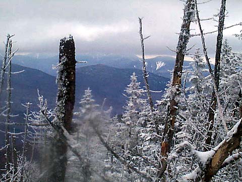
more obvious borders along the trail. After climbing a distance, I came to a place
where I had to put on my crampons. The trail rose very steeply up a ledge covered
with an iceflow. There was almost nothing to hold onto, and even with crampons,
I had to be very careful. This stretch didn’t last long, however, and I soon came
to an area where I could look out toward the east.
The
trail continued on, switchbacking steeply up the ridge until I finally reached
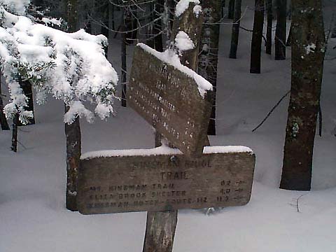
Kinsman Junction around 11:30. Kinsman Junction is the spot where the Fishin’
Jimmy, Kinsman Ridge, and Kinsman Pond Trails all meet.
Before
continuing up to North Kinsman, I decided to stop at the Kinsman Pond Shelter
to rest and eat some lunch. The shelter, along with several tent platforms, is
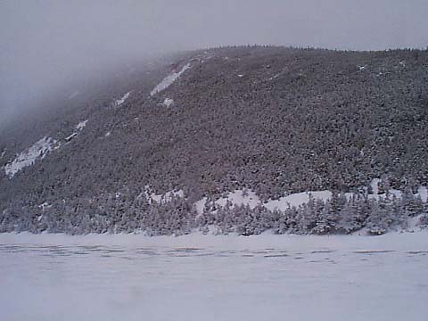
about 0.1 miles down the Kinsman Pond Trail. The shelter is an open lean-to. Just
in back of the shelter, you can get a good view of Kinsman Pond with North Kinsman
in the background. Of course, with the fog, I couldn’t see all of North Kinsman.
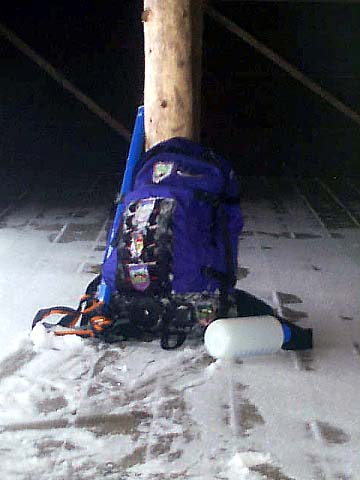
I
ate inside the shelter, and rested for about 20 minutes, taking time to change
my undershirt, which had gotten wet from sweating. It was also getting colder
now that I was at 3750 ft, so I put on my second, and dry fleece.
|
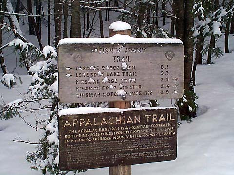
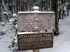
Start
of the Fishin’ Jimmy Trail in back of the hut. In the winter, the trail is easy
to lose a just a few steps beyond this sign since there are few blazes on the
trees. |
|