|
We, or rather I, labored my way up the
twisting trail, stepping warily over some of the shearer ice patches
where the crampons on my snowshoes were less effective than I would have
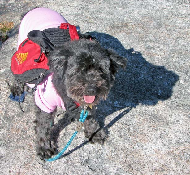
liked. Muffin, close to the ground and with the benefit of four feet,
managed to scamper up most of the slippery sections, waiting somewhat
impatiently for me to catch up.
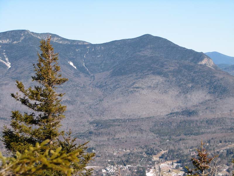
At Noon Peak, there was a great overlook
toward the Osceolas, Southern Presidentials, and even the town of
Waterville Valley far below. While not particularly windy on the exposed
ledges, it was, never-the-less, sufficiently colder for me to appreciate
the warmth of my balaclava, which helped pre-heat the air I was
breathing. It's hard to keep a balaclava over your mouth when you're
laboring up a steep slope, as it hinders your ability to inhale deeply.
But when you're standing still, it can be a welcome piece of clothing.
Even off your mouth, it still keeps your neck nice and warm,
After admiring the views for a while, we
went back to the trail and resumed our climb. Noon Peak is about halfway
to Sandwich Mountain as far as mileage goes, but well over halfway
elevation-wise. The trail was supposed to begin to moderate as we got
higher, so I was hopeful that we'd soon arrive at our destination.
Not far above Noon, however, we reached a bit
of a dilemma. A narrow passage, not quite what I'd call a chimney, led
steeply up a cleft in the rocks. Guarded by a massive sheer boulder on
one side, and an imposing wall of rock with a impenetrable growth of fir
and spruce on the other, it was the only reasonable way up, or would
have been if it hadn't been covered with a thick coating of glassy ice.
It was about a 20 to 30 foot climb to the top where the trail evened
out, and there was absolutely no way I was going to safely get up it
without real crampons. Muffin took one look at it and shrank back well
behind me on the trail.
I studied it carefully, taking a few
exploratory steps, and then reluctantly made the decision to turn
around. Even if we managed to make our way up this obstacle without
injury, the ice was obviously going to continue, likely barring our way
at some other spot higher up. It wasn't worth the risk, so we headed
back down. It's something that winter hikers, especially solo ones, must
always keep in mind.
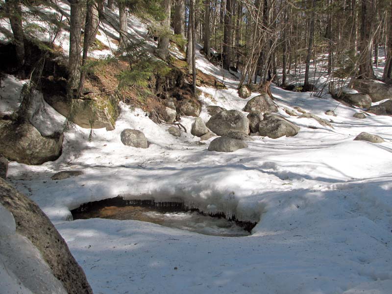
On
the way back, I stopped to take a couple of pictures at the brook
crossing near the power sub-station. Water gurgled under an open hole in
the ice, but
most of
the snow bridge was solid and stable, and we were soon safely back at
the car. |
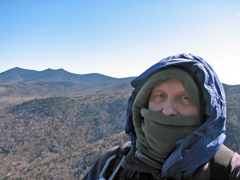
Self-portrait on the
summit of Noon Peak. Although it wasn't very windy, it was fairly cold,
and the balaclava helped warm the air I was breathing. |
 |