|
|
|
|
|
Zealand Mtn, Zeacliff, Sugarloaf I Campground |
|
|
|||||||||||||
|
Day 1 This was to be Patches' and my first time climbing a White Mountain 4000-footer (or any peak in New Hampshire for that matter) since we ascended Mt Garfield in June 2016. This was due to my upcoming heart valve replacement surgery in September 2016. Both my mitral and aortic valves were replaced as neither was repairable. I also had a maze procedure (a kind of ablation where a series of incisions were cut into my atria in a maze-like pattern in order to prevent atrial fibrillation (a-fib), from which I had been sporadically suffering. In fact, a-fib was the main reason I had stopped climbing in the White Mountains three months before my actual surgery as I had tended to get attacks while climbing. My valves needed replacement because a significant volume of blood was regurgitating (leaking) back into my left atrium each time my ventricles contracted. I was hoping that the surgery would make me stronger than ever by allowing my heart to pump more blood with each beat. Unfortunately, as I was recovering over the winter, I found that getting back to normal was a slow process. Even now, almost nine months later, I was still not quite my old self, let alone a new stronger self. I could climb, but more slowly and with more frequent rests. I chose early June for our first trip of the year; hiking in snow requires even more energy, and the snow was lingering, with significant amounts of it still left on the trails throughout May. Another measure I decided upon to ease the stress of this first trip back was to leave the day before the hike, camp down low (in this case, at one of the Sugarloaf campgrounds on Zealand Rd) to avoid my usual routine of getting up at 4 AM and driving for almost three hours before hitting the trail. Sleeping right near the trail meant a better and longer night's sleep, as well as an earlier start. After setting up the tent and having supper, Patches and I took a short walk down Zealand Rd and along the Trestle Trail, which begins just after the bridge over the Zealand River. It was a clear night, and I was able to take a nice closeup of the moon with my new camera before we went to bed for the night. This was Patches' first time sleeping in a tent. It took her a little while to get used to it because she doesn't like to be shut up in cages, but when she realized that we would both be in there, she relaxed and went to sleep in her doggie bed that we brought from home. Day 2 The hike along the Zealand Trail went quickly and uneventfully. Except for an area of rough footing near the beginning of the trail, it's a smooth and relatively flat trail until you get to the junction with the Twinway just below Zealand Falls Hut, where it climbs steeply up a rocky slope along the north side of the falls. At the hut, we rested on the front steps for a while and I went in the buy a t-shirt. There was a group of teens/pre-teens from Ontario who had stayed there overnight who really liked Patches. One girl even managed to fix a strap on Patches' backpack without Patches making a fuss. The Twinway up to Zeacliff was quite steep and I was definitely hiking more slowly than usual, but all-in-all, we made pretty good time. There was one small isolated patch of snow on the trail near the top but it wasn't an issue. The views from Zeacliff were spectacular as usual. I took lots of pictures of the surrounding mountains, including Mt Washington, Mt Carrigain, and Whitehall Mtn down in Zealand Notch. There were several hawks circling high above the Pemigewasset Wilderness, so high that it seemed impossible that that they could detect anything on the ground below. It took a number of tries, but I managed to get a couple of photos of the hawks gliding by in the air. The steepest part of the hike was now over, but there was still almost two miles with 700 feet of elevation gain to go to reach Zealand Mtn, and there were many arduous up and down sections on the ridge that tend to tire me out, even when I wasn't recovering from heart surgery. And after that, another 5-3/4 mile hike back to the car. There was still a long day ahead of us, but we were making progress, and my heart was doing fine. The first 1/2-mile to Zeacliff Pond (which is acutally almost a hundred feet below the Twinway via a spur trail) is fairly flat. But after that, it climbs steeply up a rough rocky section that includes a ladder until it reaches one of the knobs on the ridge. Patches easily climbed directly up the steep ladder behind me without giving it even a second thought. Finally, after several more endless knobs, each one feeling like it had to be the last, we reached the Zealand Spur Trail, and the summit was only a tenth of mile away. There was a nice new sign marking the spur trail that complemented its now more weathered, but equally interesting partner at the actual summit. Zealand Mtn is merely the highest point on a broad rounded and wooded knob. The most impressive thing about it is its summit sign, and now the spur trail sign as well. While we were there, a group of three hikers caught up to us and offered to take our picture after seeing me repeatedly trying to take Patches' picture while she kept getting up and walking toward me just as I was about the snap the photo. As I mentioned, there was now an over 5-3/4 mile hike back to the car, so we didn't linger long in the viewless clearing. Luckily the ups and downs over the many knobs were more downs than ups, as I was now starting to get tired. Just before reaching Zeacliff, I took a picture of the alpine bog that the Twinway passes through. On the way up, I had been way too focused on the climb ahead to pay much attention to it, but it was interesting, and the many rhodora bushes growing along the trail were starting to bloom. On the way back, we rested on the hut's porch again for ten minutes or so and then continued on our weary way. I hadn't realized just how tired I was until we were back on the Zealand Trail again. I wanted to stop and rest every few minutes, but that would only have prolonged the pain of exhaustion. Back in the car, we would be able sit for three solid hours on the drive home and rest our tired feet and legs. That thought kept me going through those final two miles. Patches didn't say anything, but she probably felt the same way too. |
Patches by the picnic table and our campsite in the Sugarloaf I campground on Zealand Rd.. |
|
|
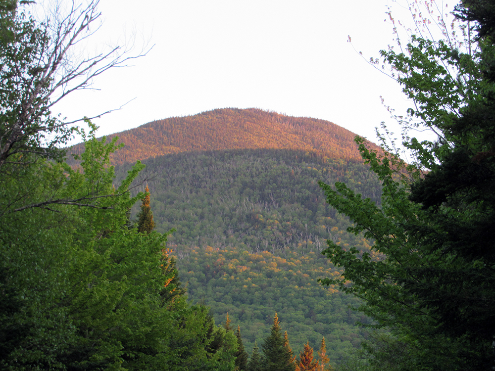
Closeup of the ridge above Zeacliff at sunset from Zealand Rd.. |
|
|
|
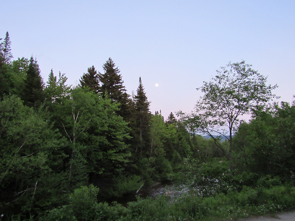
The moon rising in the sky at dusk over the Zealand River from Zealand Rd near the Trestle Trail. |
|
|
Closeup of the moon, taken with my new Canon Powershot HX530 camera with a zoom lens that goes up to 50x. |
|
|
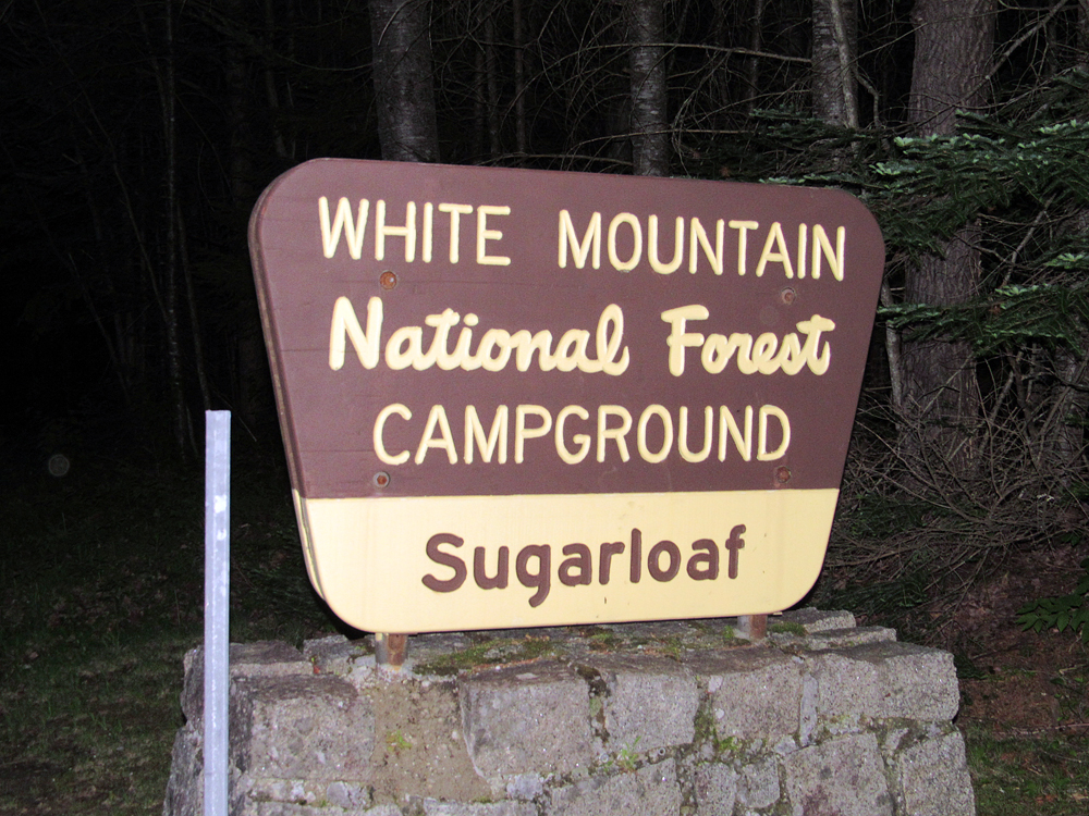
White Mountain National Forest Sugarloaf I Campground sign along Zealand Rd. There's also a Sugarloaf II Campground a short distance up the road. |
|
|
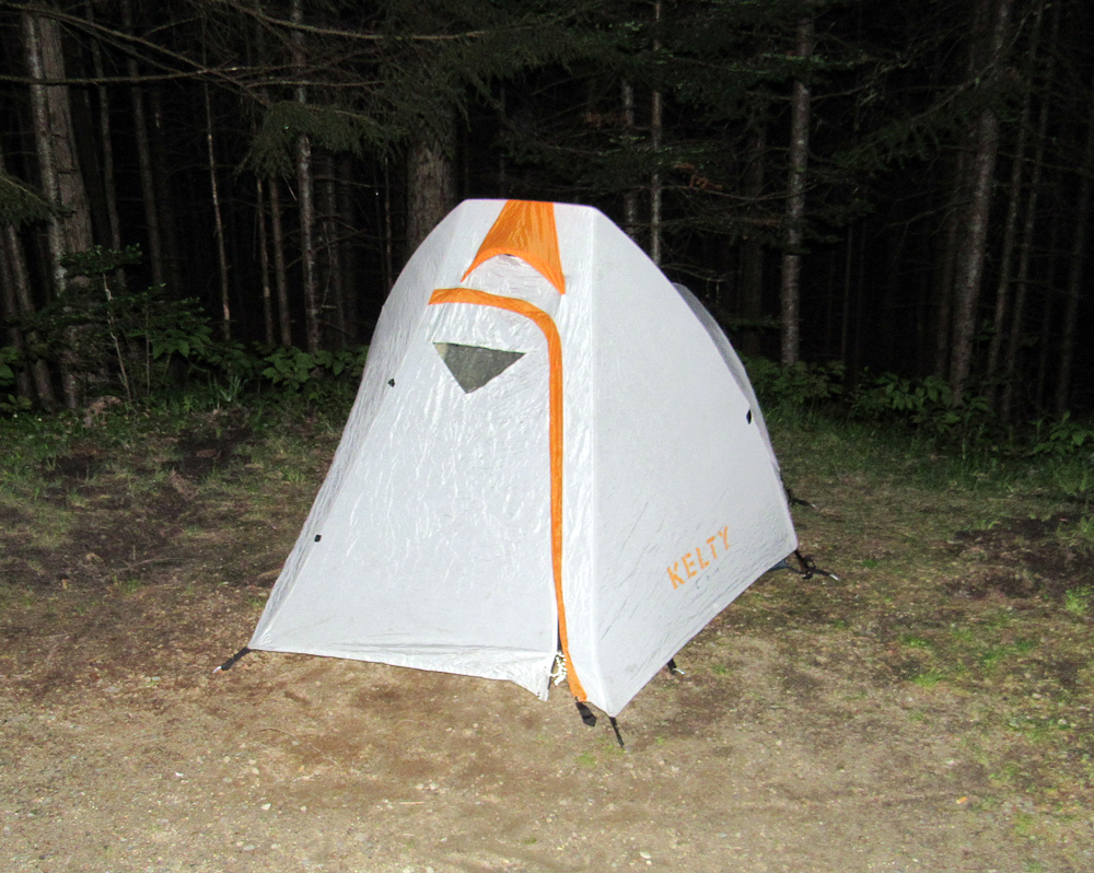
My tent at the campsite. I don't think I've ever set it up at an established campground down low. I've always used it while backbacking. |
|
|
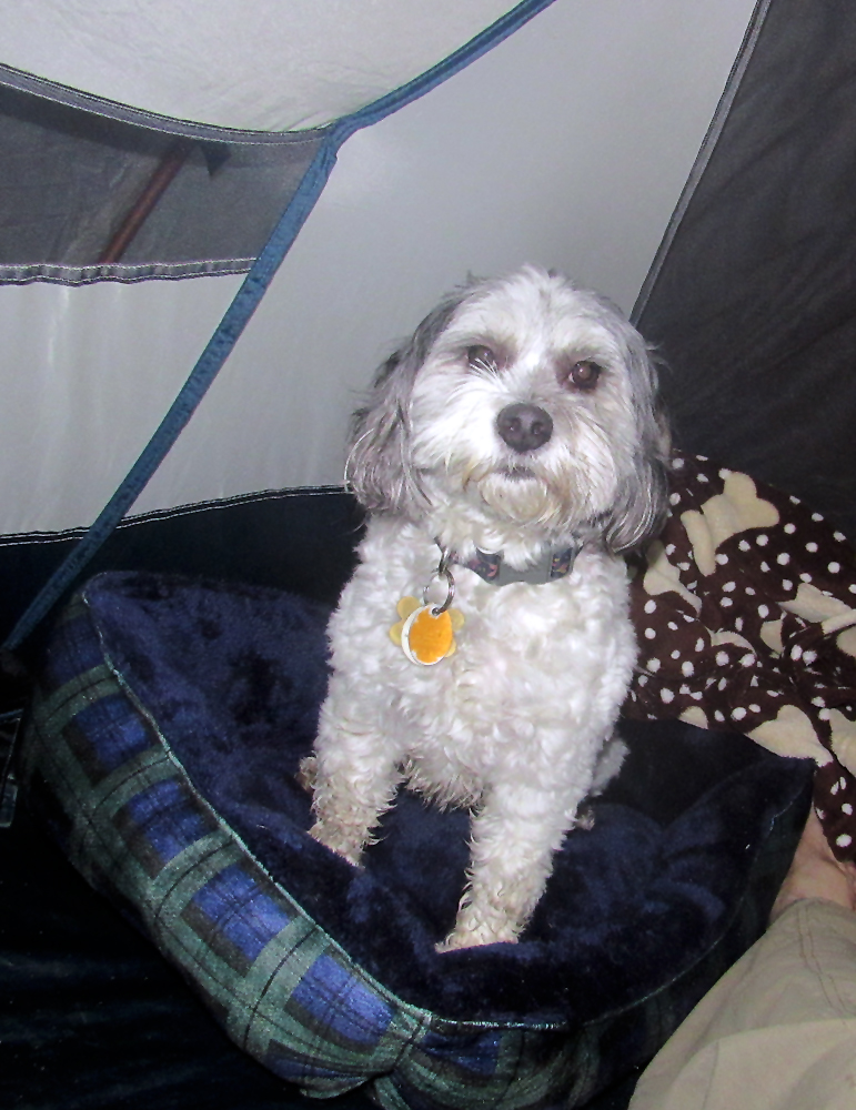
Patches inside the tent. This was her first time staying overnight in a tent. It confused her at first because she doesn't like cages and may have thought that I was going to leave her alone in there. |
|
|
The AMC's Zealand Shuttle Stop kiosk in the parking lot for the Zealand Trail. |
|
|
Patches and my backpack on the front porch of Zealand Falls Hut. Since dogs aren't allowed in the huts, I had to leave her tied up outside while I went in to buy a t-shirt. |
|
|
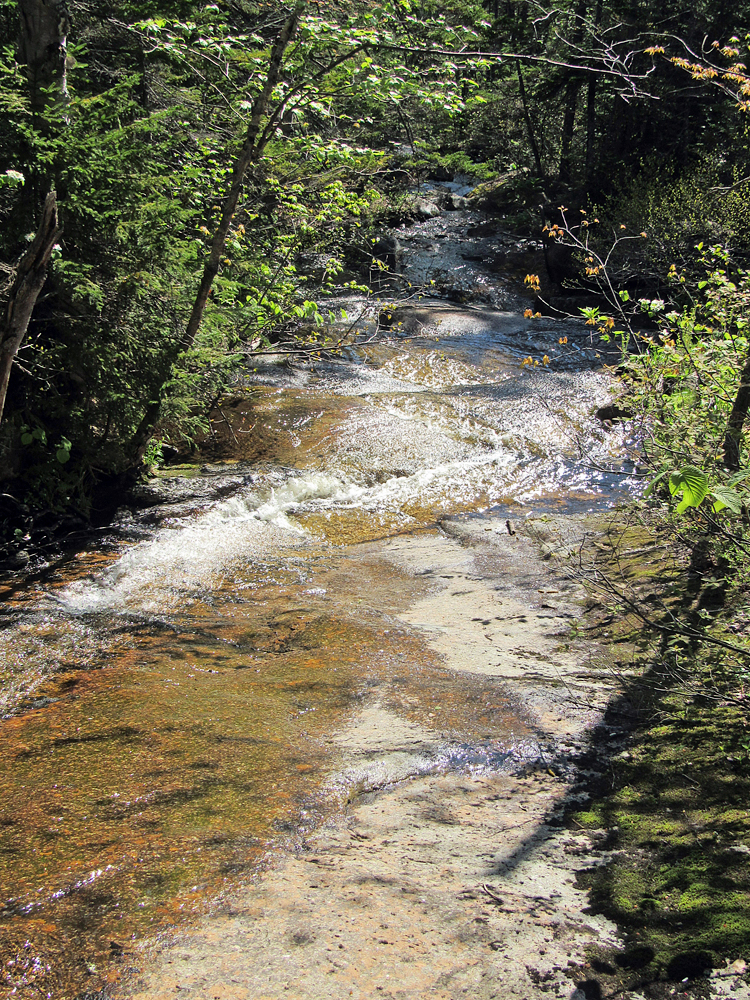
Crossing Whitehall Brook on the Twinway above Zealand Falls. |
|
|
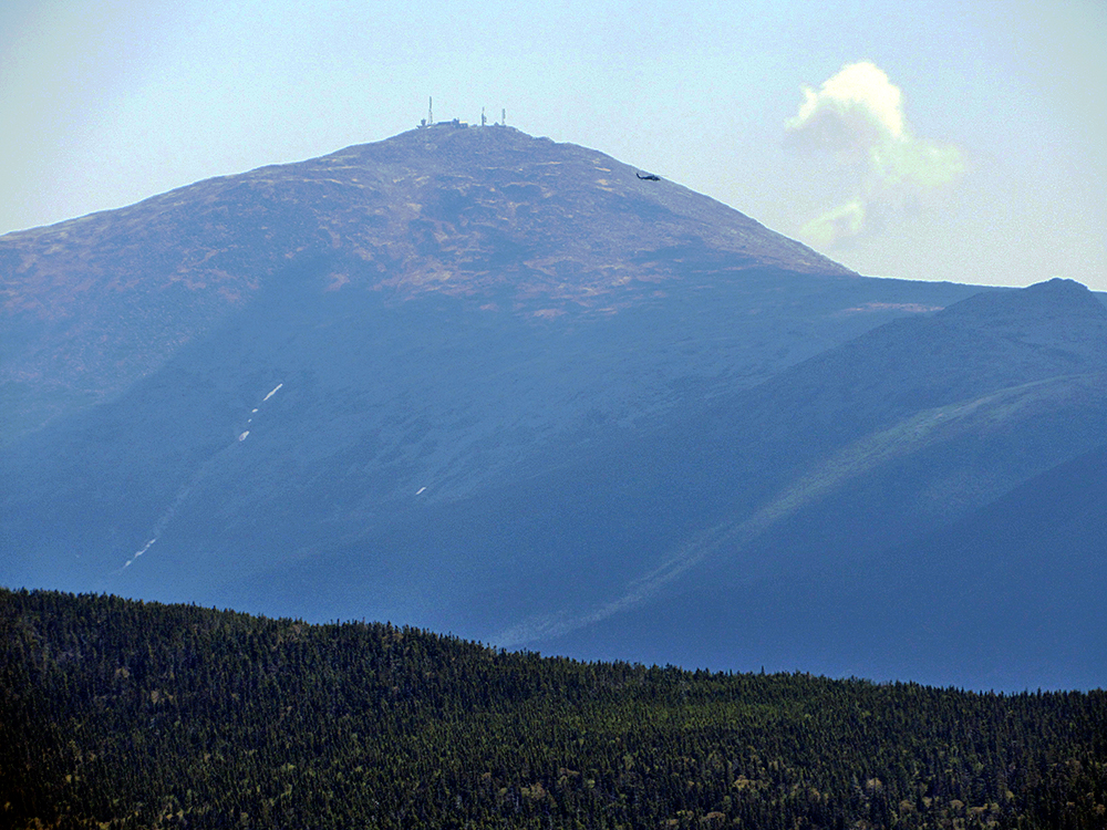
Closeup of Mt Washington from Zeacliff. I didn't notice it when I took the picture, but there is a helicopter to the right of and below the summit. |
|
|
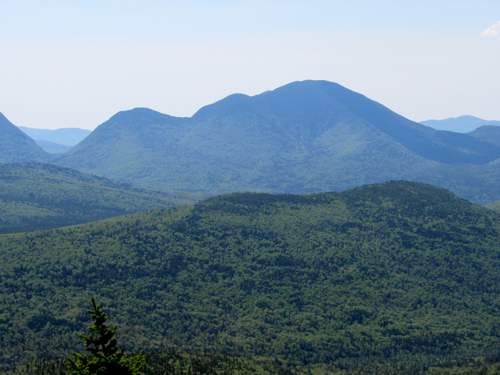
Mt Carrigain from Zeacliff. In order to see the observation platform, I tried to get an extreme closeup of Carrigain's summit with my camera, but was having trouble keeping it still enough. |
|
|
Hawk against a backdrop of Whitehall Mtn. The horizontal line cutting across the lower slope of the mountain is the Ethan Pond Trail. |
|
|
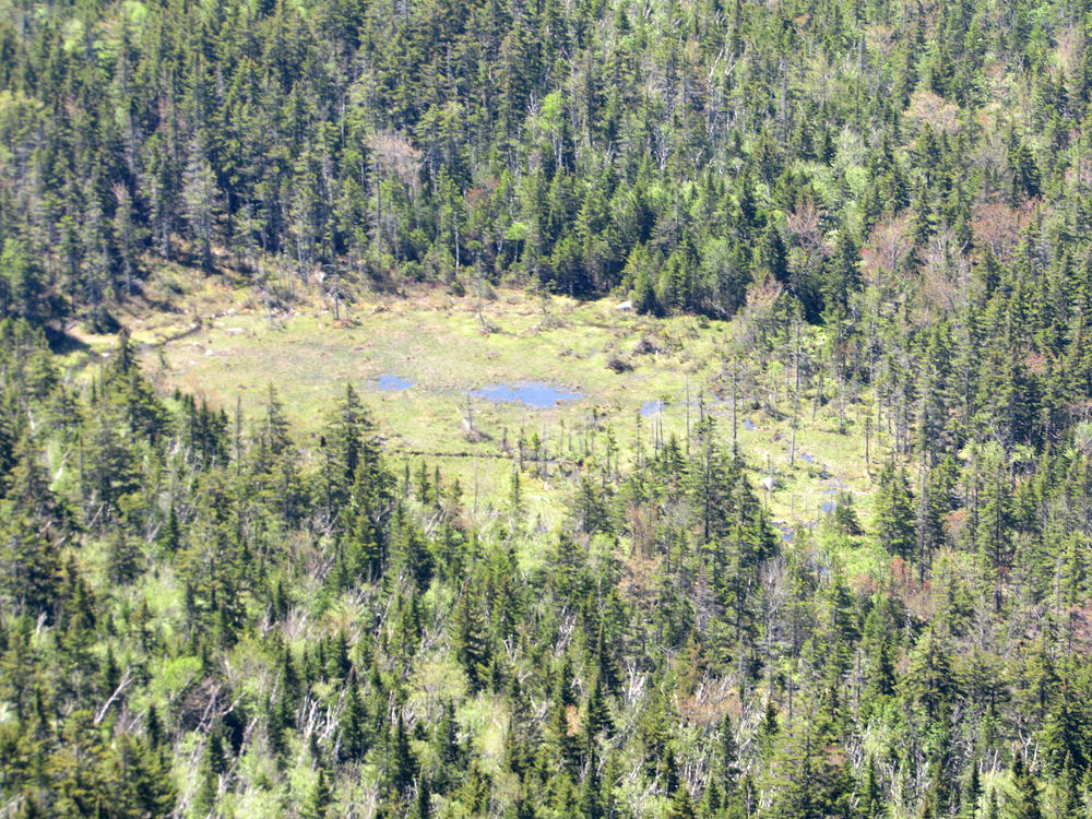
Closeup of a bog in the Pemigewasset Wilderness, some 1500 feet below us. This bog had likely been a pond at one time and had been slowly filling in. |
|
|
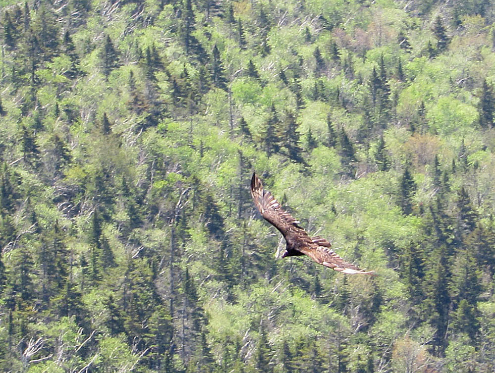
Hawk flying above the Pemigewasset Wildreness. There were several hawks circling in the air below Zeacliff, seemingly too high to see anything on the ground below.. |
|
|
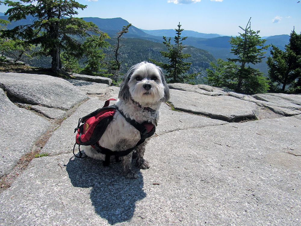
Patches on Zeacliff. It took five shots to finally get her to look at the camera. Notice how dirty her legs are from all of the muddy sections in the trails. |
|
|
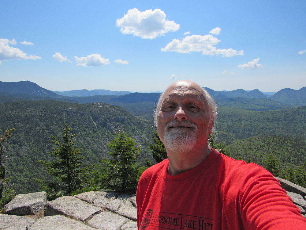
Self-portrait on Zeacliff. Behind Whitehall Mtn, just to my left, is Mt Willey, while part of Mt Carrigain is visibile at the far right. |
|
|
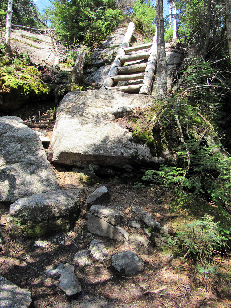
Ladder along the Twinway above Zeacliff Pond. This section is much steeper than it looks here. Patches climbed straight up the nearly vertical ladder. |
|
|
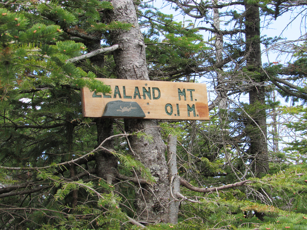
Sign along the Twinway marking the start of the nearly level Mt Zealand Spur Trail to the actual simmit. |
|
|
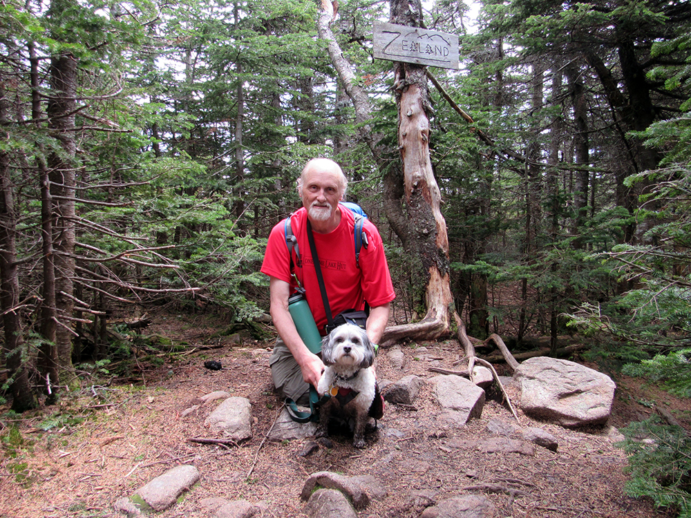
Patches and me at the official summit of Zealand Mtn. Some hikers who got here right after us offered to take our picture.. |
|
|
The Twinway winds through patches of Rhodora over well-constructed bog bridges in this alpine bog not far above Zeacliff. |
|
|