|
We
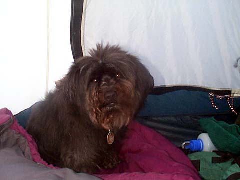
got up about 6:30 and I got dressed for the day. Before we went outside, I took a picture of
Muffin in the tent. I expected to find the weather cloudy
and ready to rain, but was surprised to see the sun out
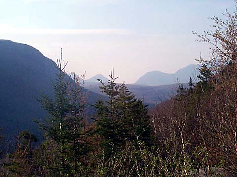
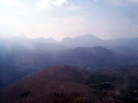
and the sky blue. For the third time, we ascended the stone trail to the hut where I filled my water
bottles and took a picture of Zealand Notch from the porch before we
headed up the Twinway to Zeacliff and Mt Zealand.
A
short distance up the path, we arrived at a difficult crossing of
Whitewall
Brook. The melting snows had raised the water level enough so that there
wasn't any good safe way across. The current in the cascades was too
strong to wade through. I searched both up and downstream, but no spot
looked any better, and most looked even more dangerous. Not wanting to just give up and turn around, I searched
through the woods nearby and found the thickest looking dead branch I
could find, dragged it back, and lay it across the brook. Since it was
somewhat rotten and not completely trustable, I went back and found a
second branch. I still didn't really trust the branches, and if I fell in,
I was certain to be pulled downstream by the strong currents, so I
carefully crawled across on my hands and knees on the two frail sticks,
just a hair above the torrent. Muffin followed as if it
were nothing unusual.
Once
on the other side, we continued up the moderately steep trail. There were
only a few patches of snow here and there, mostly off the trail, so we
made good time. Unlike the A-Z Trail to Mt Tom
that I had spent so much time losing and finding a couple of weeks earlier, the
Twinway was well-marked with blazes. About halfway to Zeacliff, we crossed
a level area, after which the trail steepened and the snow grew deeper,
covering most of the trail. Luckily, it was still early in the day, and we
could walk on the narrow ridge of packed snow in the middle without too
much trouble.
Occasionally, there were sections where all the snow had melted away at the
edges of the trail and we could walk on dry ground. Still, we made
really good time, arriving at Zeacliff about an hour-and-a-half after
crossing Whitewall Brook.
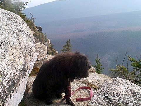
The
views from Zeacliff were worth the "price" of the entire trip. I
could see Zealand Notch far below, and Mt Carrigain in
the distance toward the south. The weather was warm, and it was nice to be
out of the cool damp woods and out on the sunny open ledges. I could have relaxed there
for a long time, but I wanted to beat the estimated 4 PM arrival of some
thunderstorms, so we soon headed back to the main trail and continued on
our way.
|
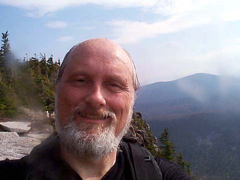
Muffin
in the tent on Saturday morning. She waited patiently for me to get
dressed for the day before we went outside. |
 |