|
Between moving to Cape Cod in March and the Coronavirus pandemic, I wasn't able to get up to the White Mountains until the end of July. I also had to rethink my strategy for driving there, as it was now a 4-1/2 to 5 hour drive to the Gorham area, too long for just a day trip. Since Patches and I were going to climb Mt Moriah, I decided to stay at Dolly Copp Campground both the night before the hike and the night after. Leaving home around 9:45 AM, and making one stop in Tilton, we got there around 2:30 PM. Luckily, the campground wasn't full, although there were quite a few spots taken slready, mostly by families. I found a good site that was a bit away from any other campers so I could minimize having to wear my mask.
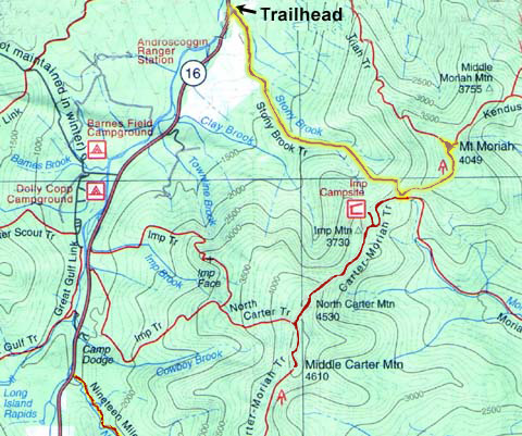
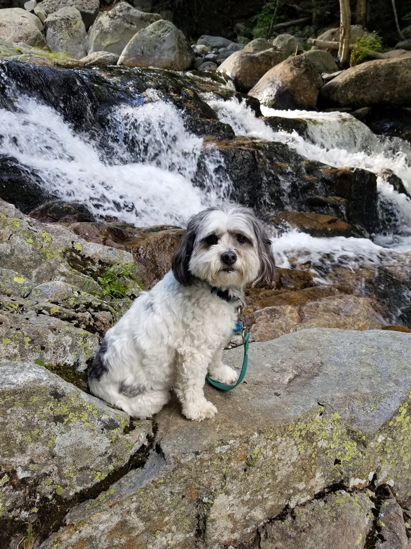
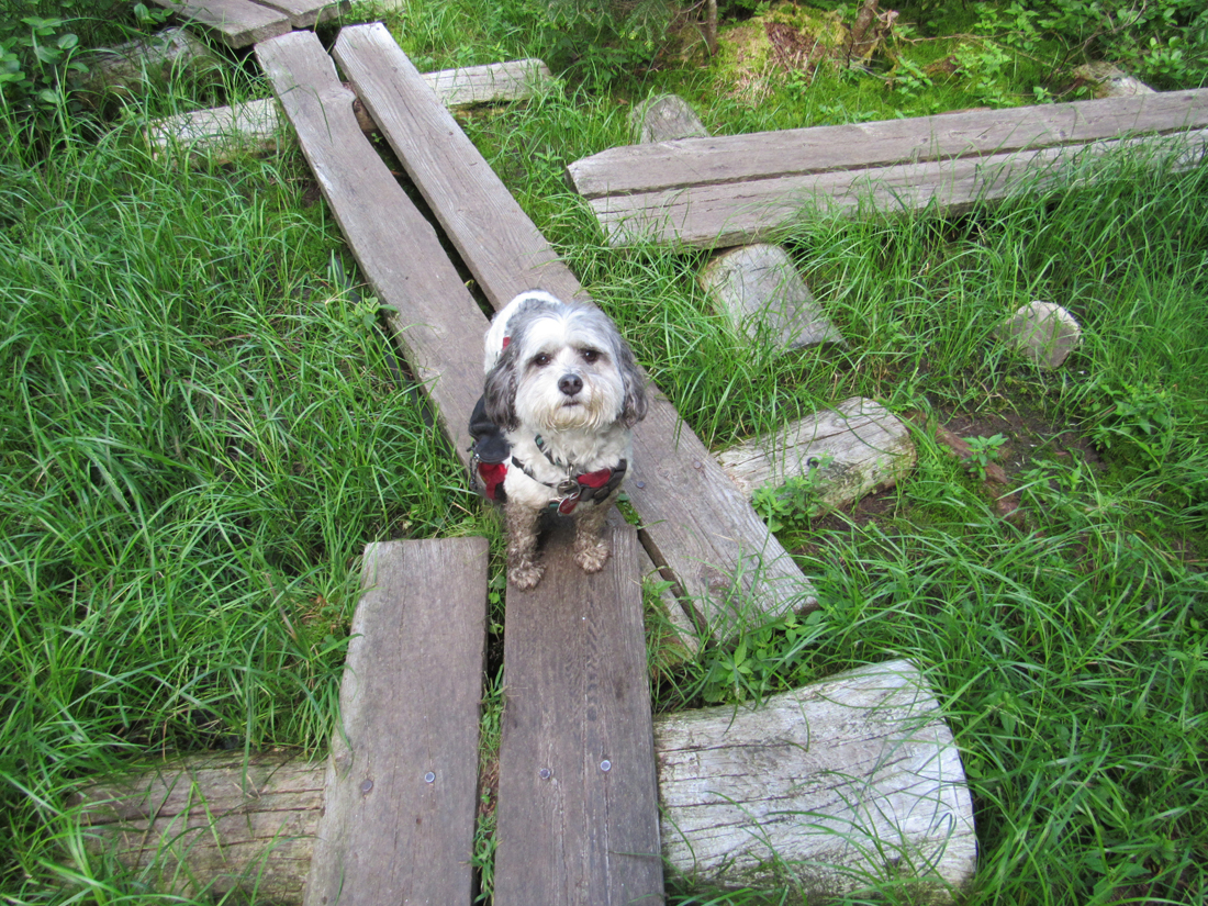
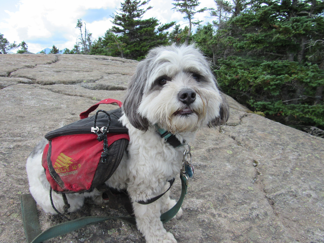
After setting up the tent and getting things ready for the night, we drove over to the AMC Pinkham Notch Visitor's Center so I could buy a shirt and/or hat, and then take a short walk with Patches to get a little exercise after all the hours sitting in the car. We hiked up the Tuckerman Ravine Trail to Crystal Cascade and I took a few pictures of Patches (in order to get one good one where she was looking at the camera). Then, we headed back to the campsite to cook supper, arrange our things for the next morning, and go to bed.
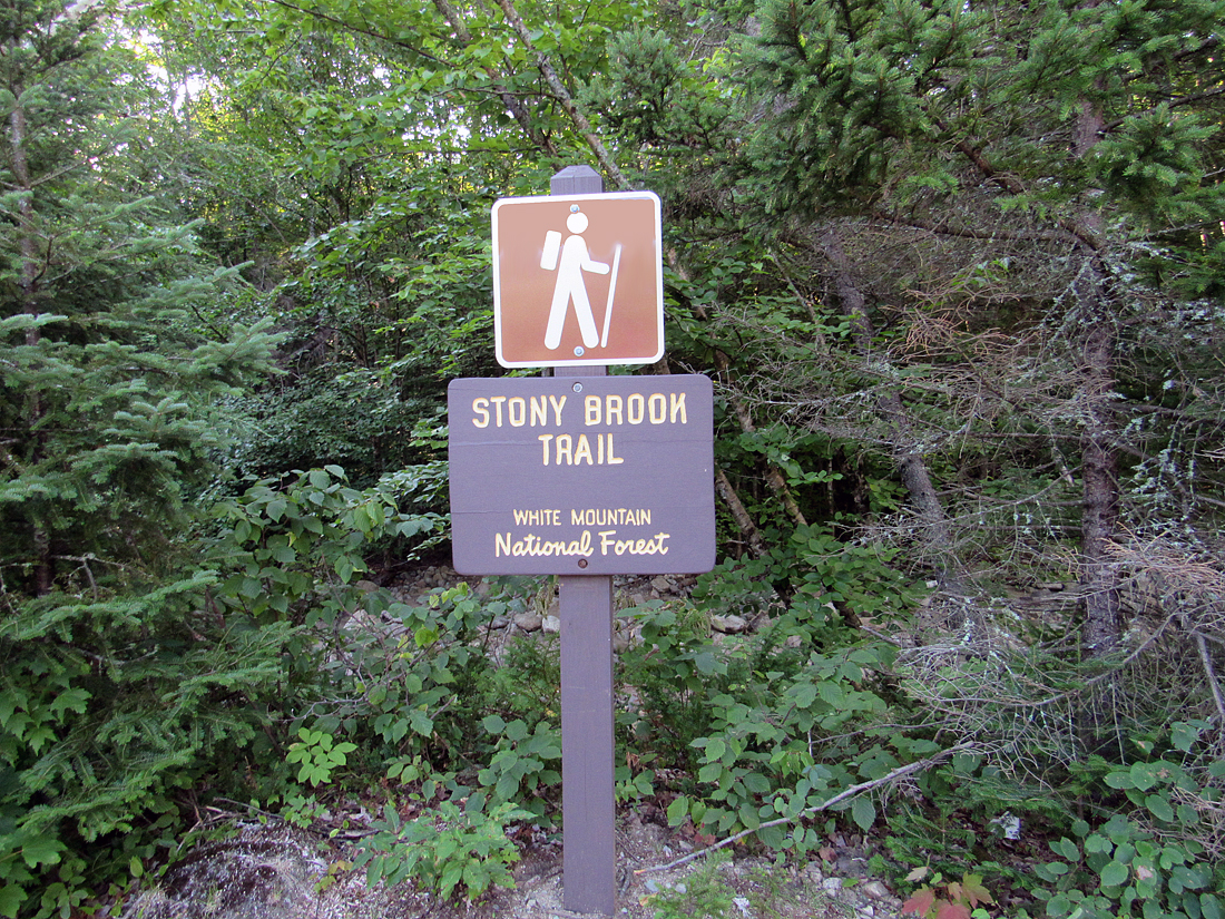
I meant to get up at 5:15 AM so we could start up the trail at 6 but the alarm didn't go off and, by time I got dressed, drove to the trailhead, and actually got going, it was already around 7:30. Luckily, there were only a couple of other cars in the parking lot so there was plenty of room. Passing by the Appalachia Trailhead the day before, the lot had been full and there were cars parked all along the road in both directions so I wasn't sure what to expect here at Stony Brook today.
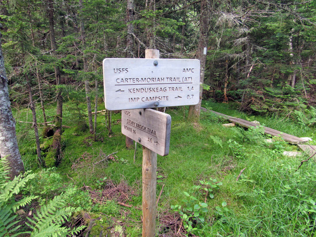
The trail began on Stony Brook Road, just around the corner from the parking lot, soon crossing the brook on a nice footbridge, and shortly afterward crossing another brook on a smaller bridge. We made minimal elevation gain for quite a distance but the going was smooth and easy most of the way over old logging roads. After two more brook crossings over stepping stones, we finally started climbing at a more moderate pitch. Finally, beyond a steeper rougher section, the trail leveled off and we arrived at the Carter-Moriah Trail junction on bog bridges.
It was now time for a rest and a snack. Just around a bend, we came to a nice east-facing ledge with views to the mountain ranges beyond. I gave Patches her breakfast, a package of Blue Buffalo dog food in a single-use plastic tray, while I pulled out a power bar (a name that I use generically for any protein energy bar) and opened a can of Pringles. We sat there for a while enjoying the views and the time off our feet. I, for one, really appreciated the rest after the long 3.6 mile / 2250 feet of elevation climb up the Stony Brook Trail. As I've said before, I haven't been as quick hiking uphill as I was before my heart valve surgery in 2016. Most likely, my replacement mitral valve is probably a little smaller than it could have been.
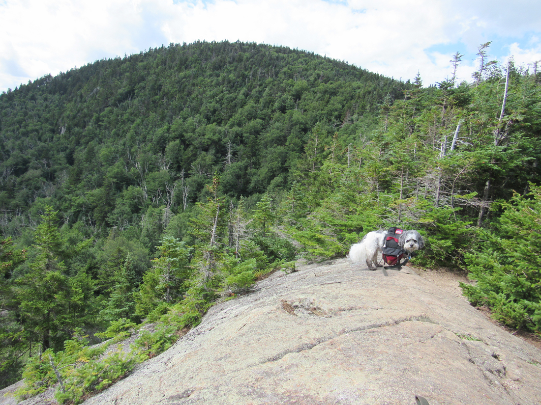
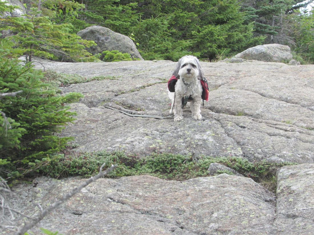
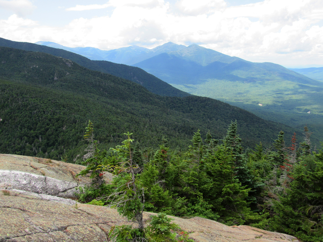
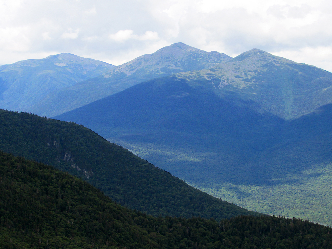
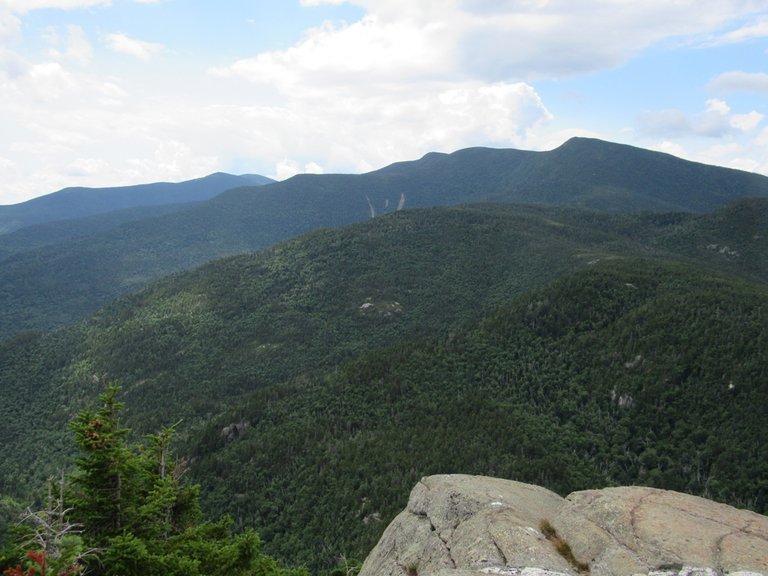
Eventually it was time to move on. This section of the Carter-Moriah Trail is more or less a slog over a series of open ledges interspersed between patches of wooded high points and minor sags. It is a seemingly endless succession of false summits, as I've heard more than one hiker describe it. We stopped on one large open ledge with great views west to the Northern Presidentials and north to the rest of the Carter Range. I could also just glimpse the very top of Mt Washington above the western slopes of the Carters.
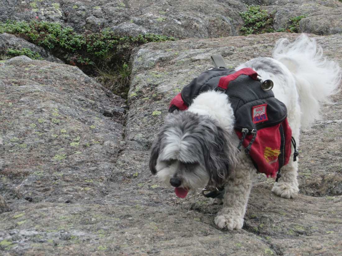
There were still a couple of more false summits to go, but we eventually reached the junction with the Kenduskeag Trail where the Carter-Moriah Trail turned sharp left and immediately began a very steep rocky pitch, ascending some fifty vertical feet up a sort of chimney. I ditched my poles at the bottom to make it easier to use my hands for the scamble. At one point, I reached back down and picked up Patches by the handle on her backback and hoisted her up. She made it up the rest of the chimney without any help. Beyond that, the short spur trail to the summit took us quickly to the top while the Carter-Moriah Trail continued straight ahead to descend the north side of Mt Moriah on its way to Gorham.
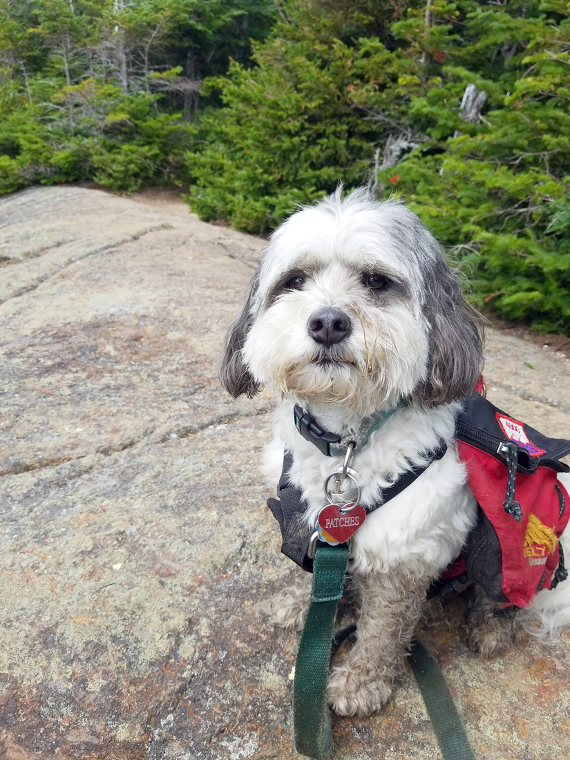
The open rock face at the summit of Mt Moriah is fairly small. We sat down on some east-facing ledges as a group of women hikers were already sitting looking west to the Presidetials. It was time for another snack and a small drink of water. Our water supply was getting a little low so I needed to ration it as there were no real water sources along the high ridge. The three women hikers, a mother and two daughers were all nurses, and when I later managed to take Patches' picture with my camera, they offered to take a photo of both of us together. Afterward, I returned the favor by taking some pictures of them.
I debated going down the Carter-Moriah Trail to Gorham, thinking that it might be faster with less ups and downs, but decided to return the same way to avoid the long road walk back to our car. We actually made pretty good time returning to the Stony Brook Trail along the Carter-Moriah Trail. I had misjudged the number of uphill sections over the false summits, and the ledges were easy to descend; they weren't wet and the surface of the ledges was just rough enough to provide good traction.
On the other hand, the Stony Brook Trail seemed to have grown both longer and rougher the further along we went. Stepping carefully along the rock-strewn trail sections made for slow going. Even the relatively smooth and easy sections didn't feel as smooth and easy as they did on the way up. I had run out of water about a third of the way down the Stony Brook Trail so, when we crossed a brook most of the way down, I stopped to filter enough water to mostly fill one bottle. Patches just drank directly from the brook.
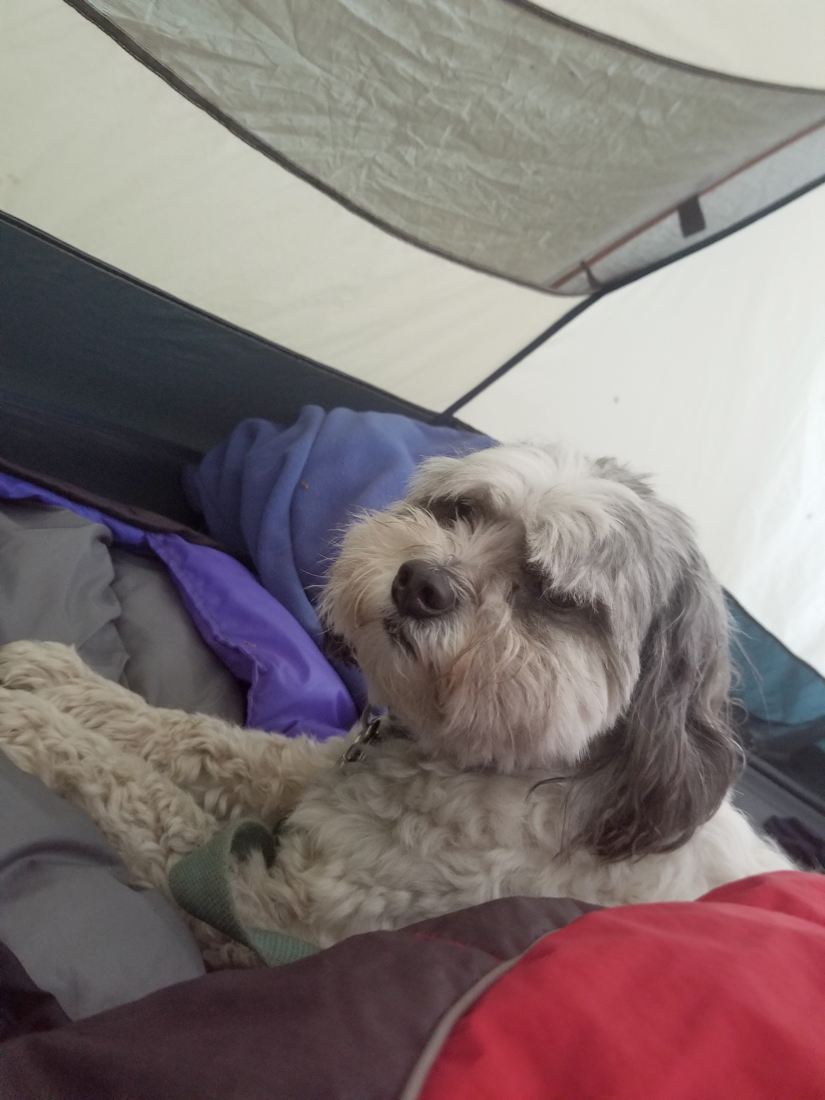
Finally back at the car, we headed into Gorham and got some food from McDonald's. I briefly contemplated taking down camp and heading home that night but it would have been close to midnight by the time we got there, and we both in need of a good rest. And just as we got back to the campground, it started thundering, something Patches really hates. But back in the tent, she just cuddled up to me on my sleeping bag and eventually, the thunder subsided and it started raining lightly. We managed to get a good long sleep that night.
This was Patches' 38th 4000-Footer. She now had only 10 more to go. |
Patches sitting next to Crystal Cascade on the Tuckerman Ravine Trail. We took a short walk there on our first day after stopping at the AMC Pinkham Notch Visitor's Center store. |

|