|
From
a distance, even while I was still up on the ridge, I could hear the
sporadic hammering of what sounded like an axe chopping wood. Instead, it
turned out to be the caretaker, Jay, working on composting the outhouse.
This consisted of his pulling out the bin underneath the toilet seat and thoroughly
mixing the waste with bark chips - not exactly his favorite activity.
Never-the-less,
he welcomed me to the campsite, which at the moment was vacant except for
the two of us. After talking a short time, I walked down the trail to the tent
area and set up my 2-person Kelty Zen on platform # 3. According to
Jay, the Imp Campsite did not have a bear problem, so for once, I could
cook and eat right at my site. I still hung my food in a nearby tree to
keep it away from mice and other rodents.
After
setting up camp, I got got ready for my hike to Mt Moriah, clearing my
backpack of everything except those items I'd need for a four-mile day
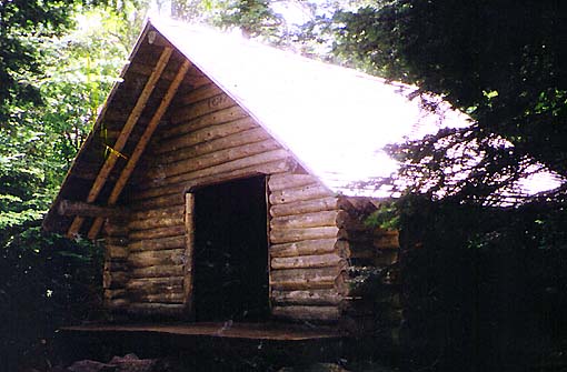
hike. Then I stopped at
the shelter to get a look. The Imp Shelter holds about twelve on a large
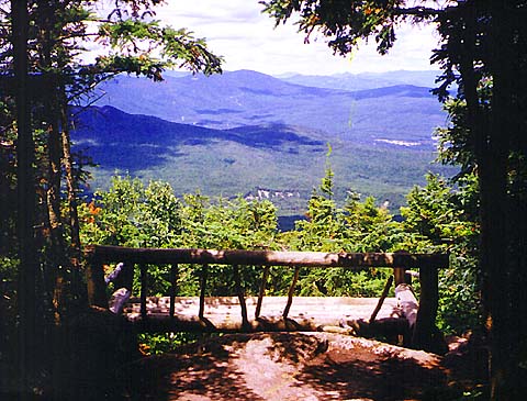
log shelf about four feet off the ground. Just beyond was a
great lookout, complete with rickety log bench. Framed by several
large firs, it made a nice shady and restful spot to sit and watch
the world below.
The
campsite's water source was a small brook flowing down some boulders a
short way down the path from the shelter. I used my filter to fill several
bottles, then sat down on the warm rocks for a quick lunch of peanuts and
a power bar.
After
climbing back up the spur trail, which actually didn't seem as long as I
had thought it would, I headed north on the Carter-Moriah Trail, retracing
my steps from the morning. Back at the junction with the Stony
Brook Trail, I met a guy and his dog, who apparently lived down along Rt
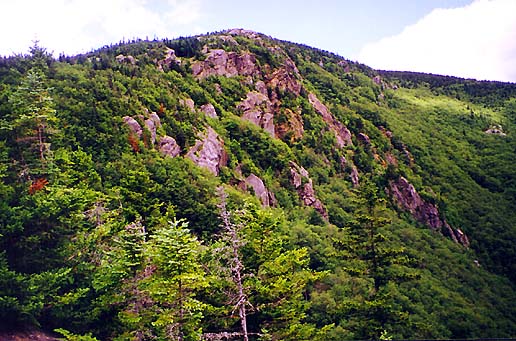
16 and were just out for an afternoon walk to the nearby ledges. The
ledges and cliffs on the south face of the Mt Moriah massif loom sharply
over a deep ravine to the east, but give magnificent views in several
directions. |
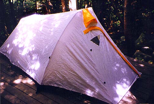
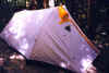
My
tent set up on a platform at the Imp Campsite. The campsite did not
have a bear problem, so for once, I could cook and eat right at my
site. I still hung my food to keep it away from mice and other
rodents. |
 |