|
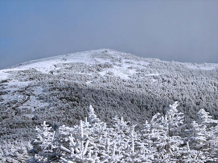
We continued following the Moosilauke Carriage
Road uphill, with occasional glimpses back to the southeast. As we got a bit
higher, we could also see, in the distance, the fir trees that dotted the
summit cone coated with rime and snow.
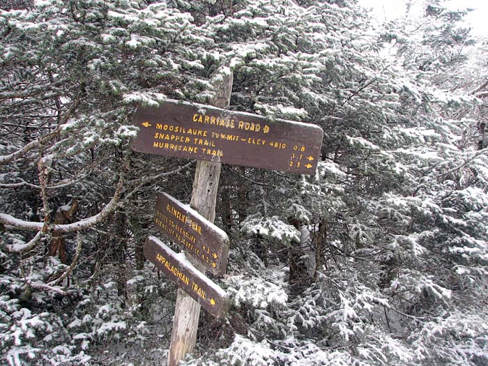
After passing the barricade that's supposed to
keep snowmobiles from continuing up to the summit, it wasn't long before we
reached the junction with the Glencliff Trail. This trail approaches the peak
from the southwest and is also the Appalachian Trail's route up the mountain
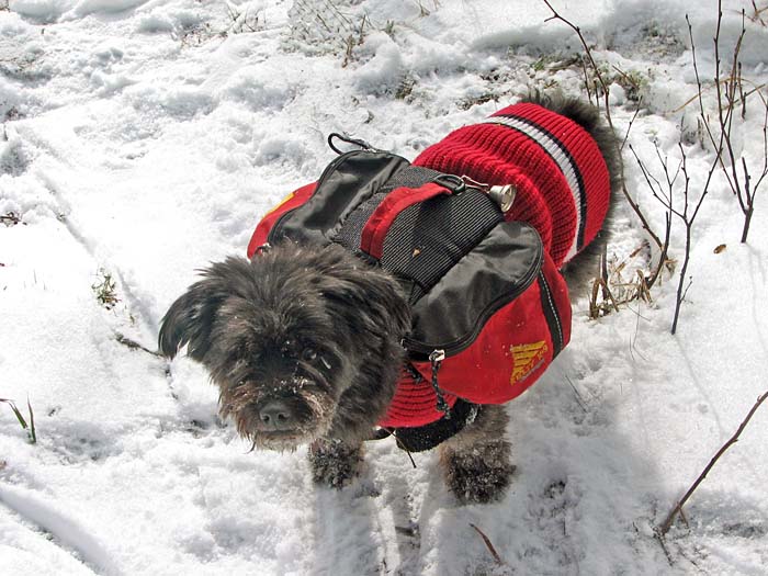
from the south. We stopped here for a short rest and a long snack. I could
hear the wind higher up and didn't anticipate spending a long time at the
summit, so I ate a whole power bar and some potato sticks. I gave Muffin a
second serving of dog food.
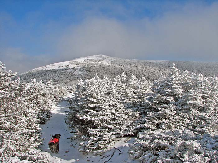
Soon after our leaving our rest stop, the Carriage
Road emerges out into the scrub, and we begun our final approach up the summit
cone. The trail twists and turns its way up and though the rocks and dwindling
patches of scrub, finally breaking out into the open a short distance from the
top.
We plodded on with the wind at our backs. Then
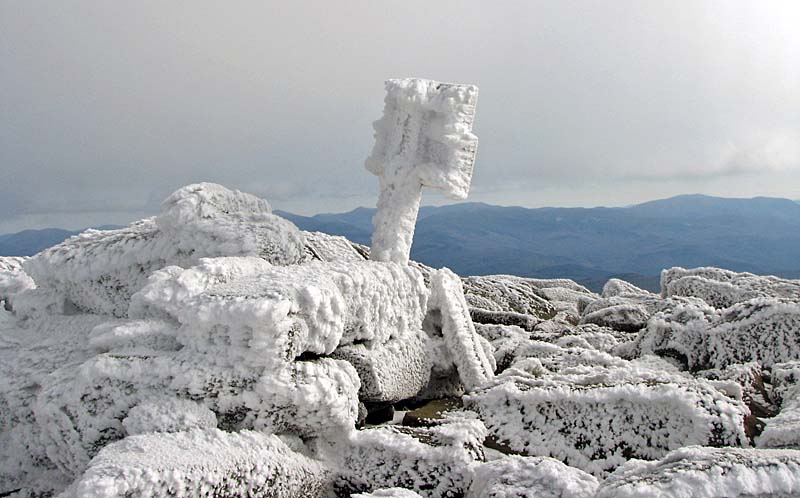
almost before I knew it, we had reached the summit itself! The signs up there
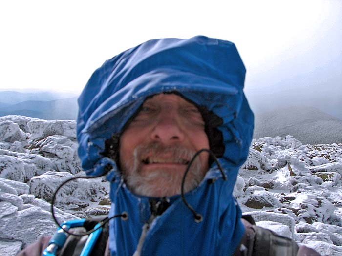
were thoroughly plastered with rime and snow, and the wind howled around us.
Even through my windproof Gortex jacket, I could feel the effects of the
increased wind-chill just outside the meager protection of its thin shell. A
patch of wind-driven freezing fog alternately enveloped and then uncovered the
top of the mountain, but it was too cold and gusty to appreciate any fleeting
views of the world beyond.
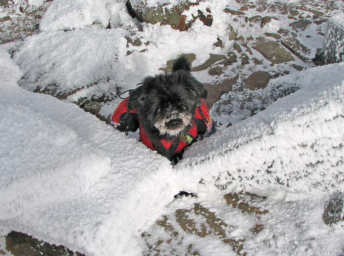
Muffin headed directly for the relative shelter of
the remains of the Tip-Top House foundation, preferring it to the blast of the
"jetstream" on the totally exposed summit rocks. But who can blame her? I took
a few pictures and we were on our way back down, hopping over the rocks
directly into the wind, and looking forward to returning to the sheltering
scrub below. |
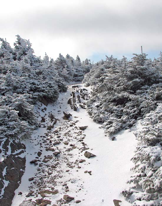
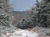
Looking up the Moosilauke
Carriage Road, not long before reaching the snowmobile barricade. |
 |