|
Continuing
on, the trail closely followed the path of the brook. Then shortly before
the gorge began to get steep, the trail swerved right, crossing the brook for
the last time, and ran level for a brief stretch.
Soon,
the trail began
to ascend by a series of short switchbacks. We took numerous short breaks to
catch our breath and grab a swallow or two of water. Unfortunately, the
weather took a turn for the worse; it started to drizzle lightly and we had
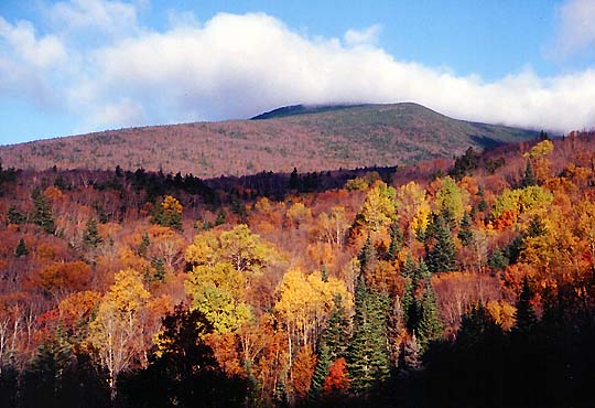
to bundle up. Higher up, we passed a great overlook where we could make out the
lodge far below, a tiny cluster of buildings in a sea of orange and gold.
After
descending into a damp sag, we broke out into
the open, and the wind picked up considerably. The trail
wound up through the fragile alpine zone between two rows of rocks. At the
summit, we huddled in the relative shelter of the remains of the old Tip-Top
House foundation, boiling water to make welcome servings of instant soup. The
rain had ceased, but the biting gusts, laden with fog, chilled exposed
skin, and carried with them a herald of the coming winter snows.
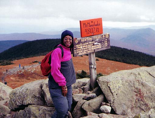
After
taking an obligatory, but hasty summit photo, we scurried down the Carriage
Road, anxious to return to the sheltering forest below. We made good time,
almost flying down the wide path, stopping only to warm Toi's frozen hands,
which are particularly susceptible to cold.
By
the time we returned to the lodge, the weather had pretty much cleared up,
except for a billowing cloud that danced about the summit, ebbing and
flowing with the changing tide of the wind. Back in our room, we lay down
for a short rest before dinner, which by then we felt we had earned. |
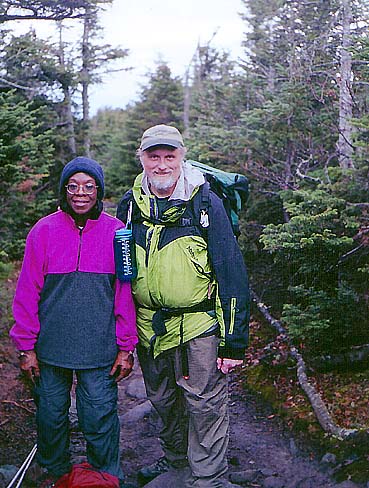
Toi
and I on the Gorge Brook Trail. Shortly after crossing the brook for the
last time, we met a couple who offered to take our picture. They were
waiting for some others in their group who were lagging behind. |
|