|
|
|
|
|
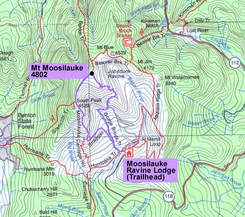
Mt Moosilauke |
|
|
|||||||||||||
|
It was a long Columbus Day weekend, and Toi, Holly, Muffin, and I had decided to go up to the White Mountains for a couple of days, spending the night at Moosilauke Ravine Lodge. Toi and I were also going to climb Mt Moosilauke. We arrived about mid-morning and checked into our room in the Class of 65 Bunkhouse. The Ravine Lodge allows dogs, which makes it particularly attractive to us. Holly was planning on staying in the room with Muffin and reading while Toi and I made the climb. The Gorge Brook Trail officially begins at the end of Ravine Rd, heading downhill and circling in back of the lodge by the brook, but when you're already at the lodge, it's easier just to cut across the rear lawn and cross the bridge to the trail. We soon reached the junction where the Hurricane Trail diverges left. The Gorge Brook Trail bears right and begins to follow the brook moderately uphill. At this point, the weather was mostly sunny with just a hint of gathering clouds. It wasn't supposed to rain until the evening, but you never know in the mountains. After crossing another bridge over the brook, the Snapper Trail continued straight ahead, while we turned right to continue following Gorge Brook uphill. We were planning on making the standard loop to descend via the Moosilauke Carriage Rd and Snapper Trail. |
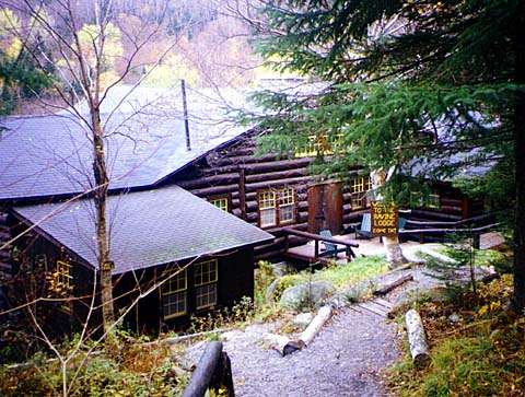
Moosilauke Ravine Lodge. The lodge and most of the surrounding land is owned by the Dartmouth (College) Outing Club, which also maintains the trails. We stayed here for one night. |
|
|
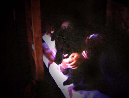
Holly and Muffin resting in their bunk in the Class of 65 Bunkhouse at the lodge. There wasn't a lot of light in the room until we borrowed a lamp from an unused room across the hall. |
|
|
|
Gorge Brook Trail. The official trailhead is actually at the end of Ravine Rd, but if you're already at the lodge, it's easier to just cut across the back lawn and cross the bridge to the trail. |
|
|