|
After
crossing a third bridge over Gorge Brook, the trail turned right, passed a plaque
for the Ross McKenney Forest, then went through a brief flat stretch where the
trail was lined with rocks. This area was a mixture of spruce and birch, and I
thought it was particularly picturesque. It soon turned left, and started up a
long series of short switchbacks. Most of the birch trees up here had already
lost their leaves for the winter.
There
were a couple of spots along the trail that would have had great views if it hadn’t
been foggy. Near the top, the trail descended slightly into a damp sag in the
middle of the krummholz where we could see the summit. It soon broke out into
the open, where the ground was covered with alpine plants and grasses that
made the summit area look like a small hill in the middle of a field. The trail
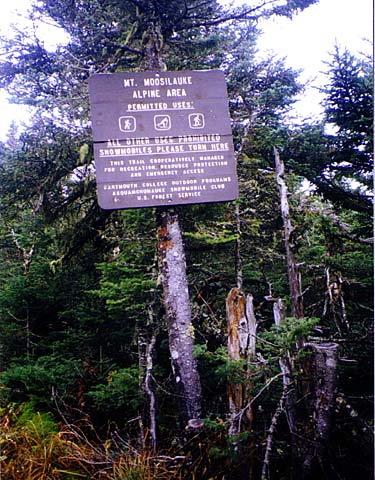
wound up through the fragile alpine zone between two rows of rocks. There were
many warning signs about staying on the trail.
We ate lunch on the top along with several
other groups of hikers. With the ruins of an old foundation and the broad grassy-looking
treeless summit, I thought it looked kind of like a scene from Scotland with the
ruins of an old castle. The
foundation belonged to a lodge - the Tip-Top House - which had been used
by people who came up the former carriage road.
Fog
still enveloped the summit area, but occasionally broke enough for glimpses of
blue sky to shine through. But sadly, there were no views down to the valley or
across to the Franconia Range.
It
was a busy day on the mountain. Looking down the Gorge Brook Trail that we had
hiked up, we could see groups of tiny hikers emerging from the distant scrub,
and slowly making their way to the rocky summit, magically looming larger and
larger as they got nearer. |
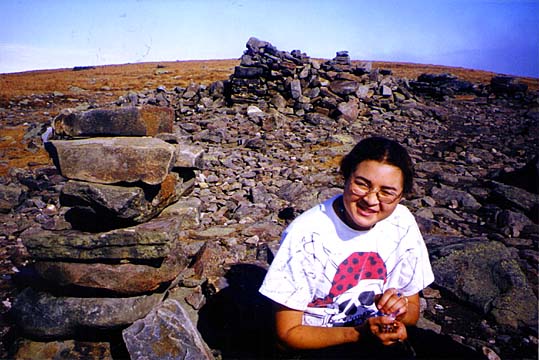
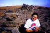
Erin
eating lunch near the summit. Next to the summit were the ruins of an old foundation.
There used to be a lodge, the Tip-Top House, on the summit for people who
came up the Carriage Road. |
 |