|
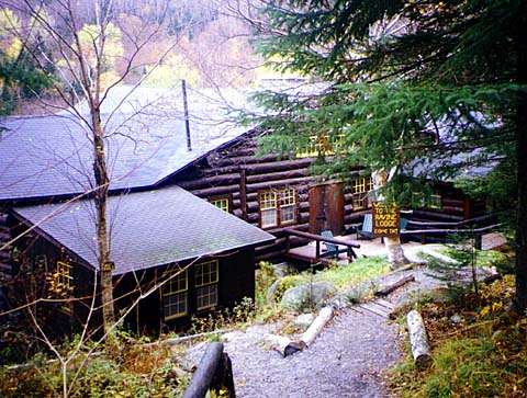
We
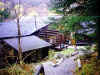
left home about 5:30 to get a good early start, arriving at
Moosilauke Ravine Lodge just after 8 o'clock. The day began
foggy and cool. We were hoping that it would clear up as the day
wore on, but except for occasional patches of sun above treeline,
it never did and there were no real views. We stopped in the lodge
to look around and buy a shirt, then started up the Gorge Brook
Trail around 8:30.
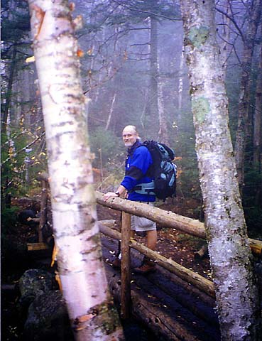
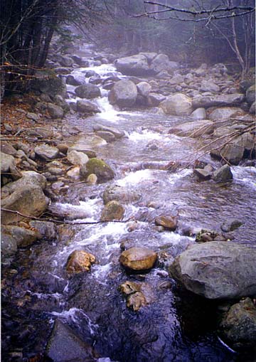
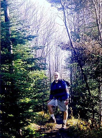
The
trail began at the end of the road, heading downhill and circling
in back of the lodge by the brook. It had been raining for several
days and the trail was muddy and slippery, especially in the lower
areas where there were a lot of wet fallen leaves. We soon came
a a bridge across Gorge Brook and cross over to begin heading uphill
along the southwest bank. We saw several other hikers on the way
up, but it wasn’t crowded. The climb was fairly moderate with some
steeper periods and some level areas. The trail continued to follow
the brook for the first mile or so, and the sound of the water was
soothing and nice.
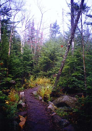
After
crossing a third bridge over Gorge Brook, the trail turned right, passed a plaque
for the Ross McKenney Forest, then went through a brief flat stretch where the
trail was lined with rocks. This area was a mixture of spruce and birch, and I
thought it was particularly picturesque. It soon turned left, and started up a
long series of short switchbacks. Most of the birch trees up here had already
lost their leaves for the winter.
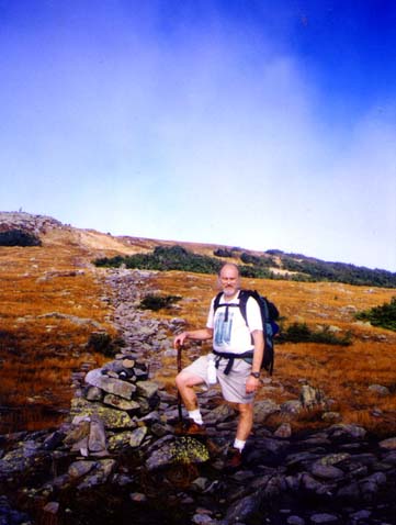
There
were a couple of spots along the trail that would have had great views if it hadn’t
been foggy. Near the top, the trail descended slightly into a damp sag in the
middle of the krummholz where we could see the summit. It soon broke out into
the open, where the ground was covered with alpine plants and grasses that
made the summit area look like a small hill in the middle of a field. The trail
wound up through the fragile alpine zone between two rows of rocks. There were
many warning signs about staying on the trail. |
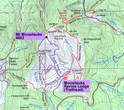
Moosilauke
Ravine Lodge. The lodge and most of the surrounding land is owned
by the
Dartmouth (College) Outing Club, which also maintains the trails.
Toi, Holly, Muffin, and I stayed there a year later in 1999. |
 |