|
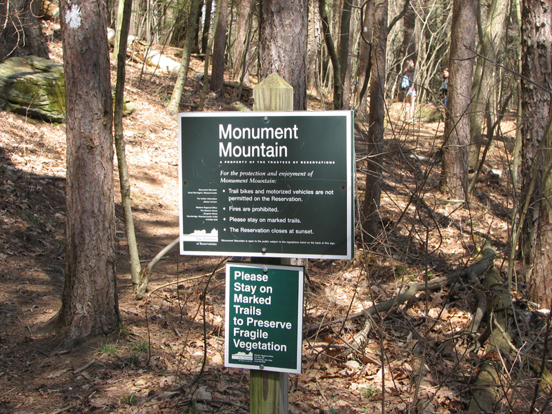
I decided to climb Monument Mountain because I
was in the area helping my wife at a Girl Scout Camp cleanup in the
morning. The cleanup was over at noon, but the staff had a meeting
afterward which gave me a couple of hours to take a hike.
The trailhead is at a parking area on Rt 7
north of Great Barrington and few miles south of Stockbridge. It was a
nice April day, and there were a few other cars parked at the lot when I
got there.
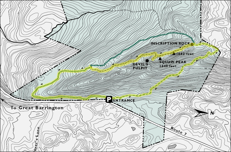
Several trails make a loop around and over
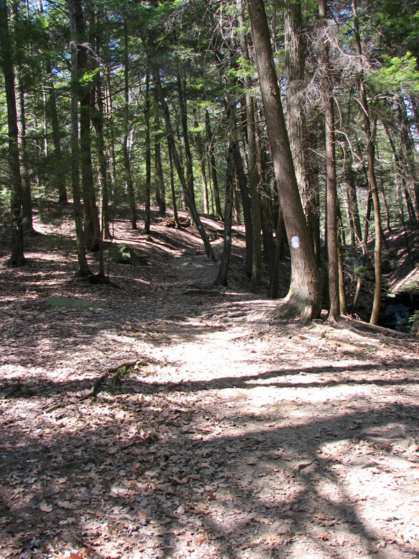
Monument Mountain. I chose to start up the Hickey Trail, a wide,
pine-needle and leaf-covered, and well-graded trail that circles up the
north side of the mountain. The Hickey Trail ends at the ridge. Here, I
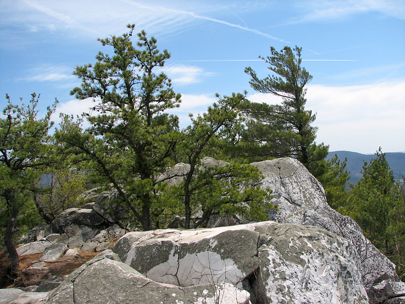
turned left onto the Squaw Peak Trail, a much narrower and rougher trail
that climbs the rocky ridgecrest, passing over an unnamed high point
before reaching Squaw Peak. It was hard to tell just which of the rocky
outcrops was the actual Squaw Peak summit as there were several such
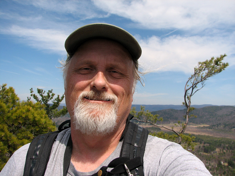
areas along the ridge. I took a self-portrait at a likely location.
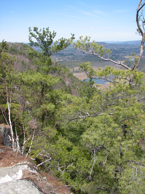
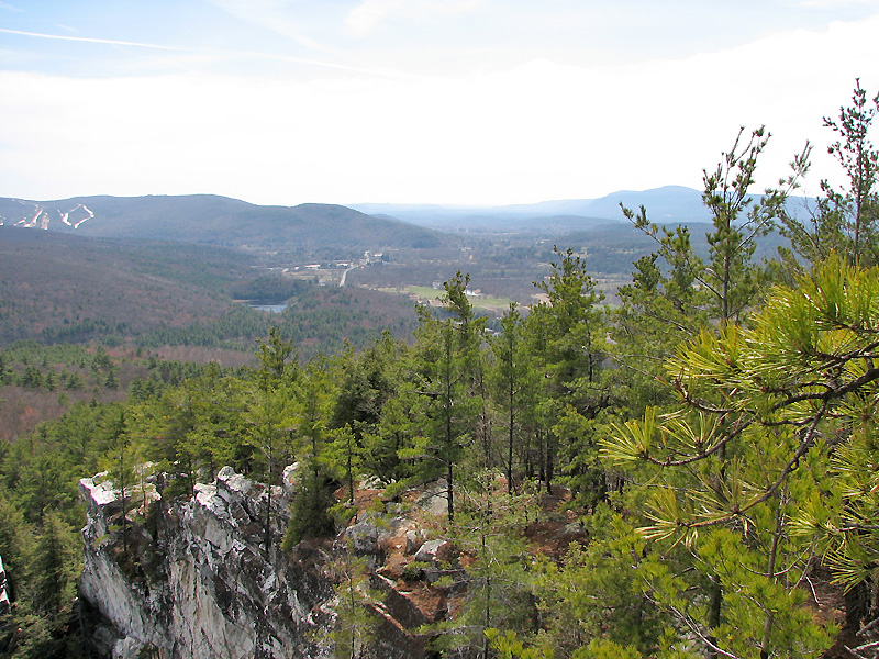
The air was clear and the views were good, but
the surrounding landscape was mostly flat. The higher Berkshire peaks
were off to the west and north. I missed the more mountainous views of
the White Mountains.
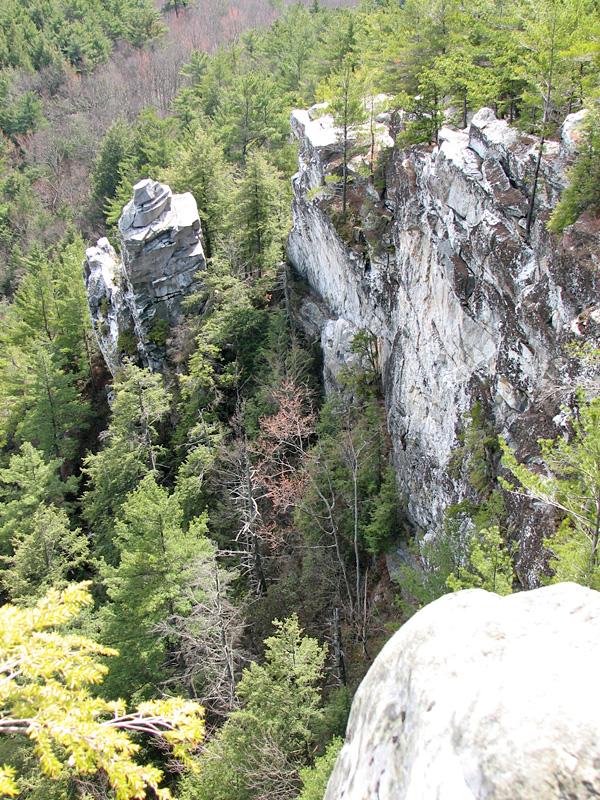
Further along the ridge, I came to the most
interesting part of the climb, a white marble and granite stone pillar
known as the Devil's Pulpit. The mountain itself has a number of
historical and semi-historical events connected with it. Melville and
Hawthorne walked there, and while there, Melville got inspiration to
finish his famous novel, Moby Dick. There's also an old Native American
legend about an Indian princess who supposedly leapt from the cliffs to
escape an unwelcome marriage. However, I didn't come across any
information about how the Devil's Pulpit got its name. Although the
pulpit looks like a good spot for it, rock climbing is not allowed
anywhere on the mountain.
From there, I continued on down the Squaw
Peak Trail until I reached the Indian Monument Trail and then completed
the loop over and around the mountain. The Indian Monument Trail also
connects to the Hickey Trail to make a slightly longer and easier route
that goes around the entire mountain but bypasses the summit ridge. |