|
For this hike, we were definitely planning to summit Mt Monroe, but I was hoping, that if we had enough time and energy left (actually me, because Patches rarely runs out of energy), to also climb to the top of Mt Washington since we would already be so close. I decided to save a little mileage and elevation gain by parking at the Mt Washington Cog Railway Base Station. According to their website, parking was available for hikers (at a fee) up near the Ammonoosuc Spur Trail at the back of the property. Of course, after we got there, I discovered that the hiker parking was now down at the bottom below the regular cog parking. Their website wasn't wrong about the fee anyway. There was a self-pay kiosk at the entrace of the lower parking lot.
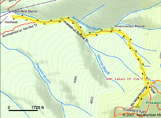
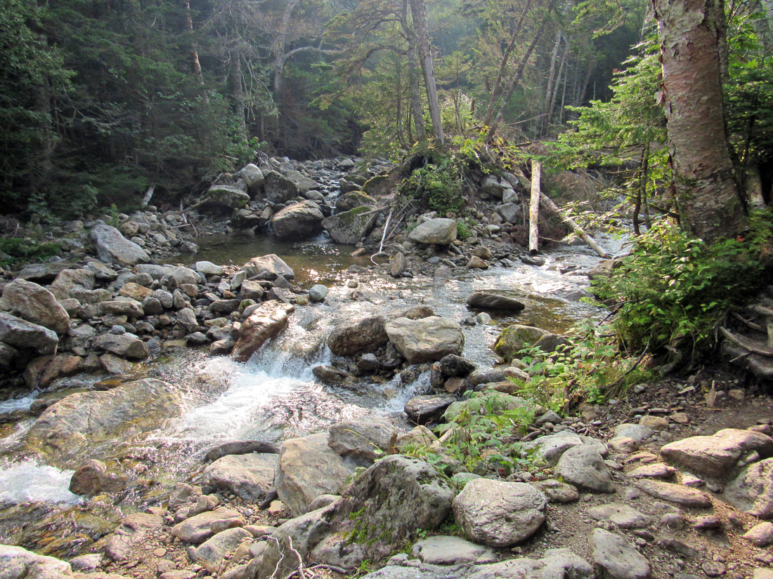
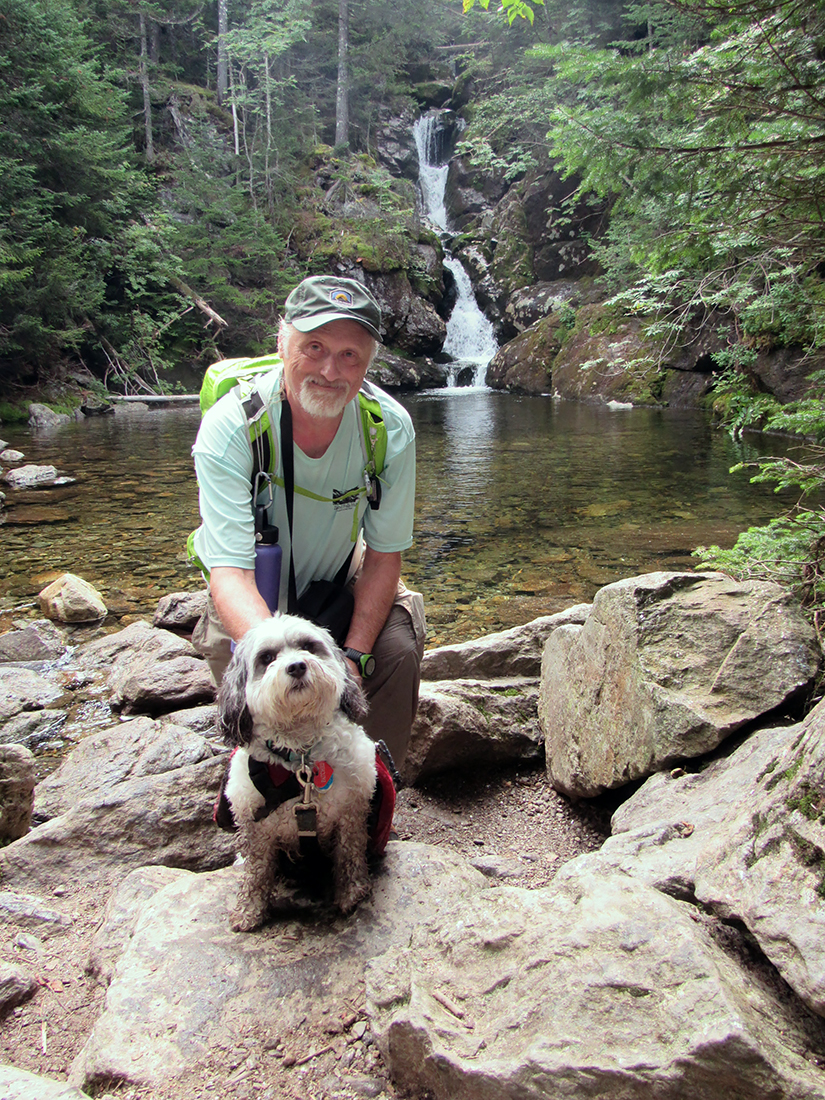
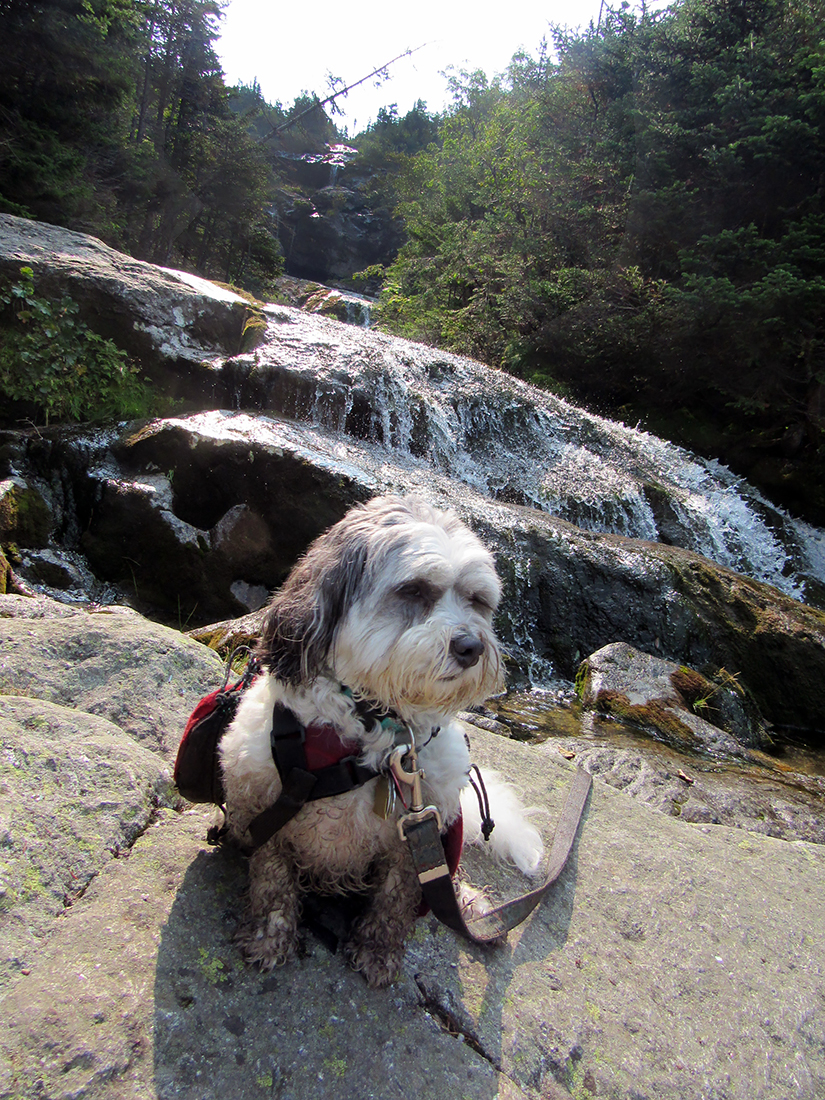
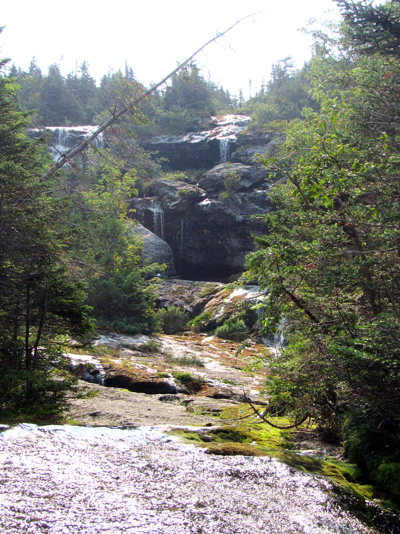
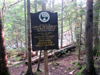
After parking and paying, we made our way up through the rest of the parking lots and around a building to find the Spur Trail. This trail was rough in spots, but it got us to the Ammonoosuc Ravine Trail where the Lakes of Clouds Hut information sign is located, and it didn't have the numerous ups and downs that the Ammonoosuc Ravine Trail has coming up from the AMC hiker parking lot. From there, we continued steadily up the trail to Gem Pool. This, of course, was a great place to stop for pictures. A number of other hikers were gathered there resting and admiring the pool and small waterfall, so it wasn't the peaceful secluded-feeling retreat as when you're the only one there, but at least one of the other hikers offered to take a picture of me and Patches together.
Beyond Gem Pool, the steepest part of the trail immediately kicks in. I usually like to go down the short side path about halfway up the steep section to take pictures of and enjoy the twin waterfalls, but I didn't feel liking making the extra effort today. The trail felt a bit tougher than the last time I hiked it back in June of 2014 on my way to Mizpah Spring Hut to do trailwork on the Mt Clinton Trail. It was here that I began to doubt that we would also continue on to Mt Washington, but there was always hope.
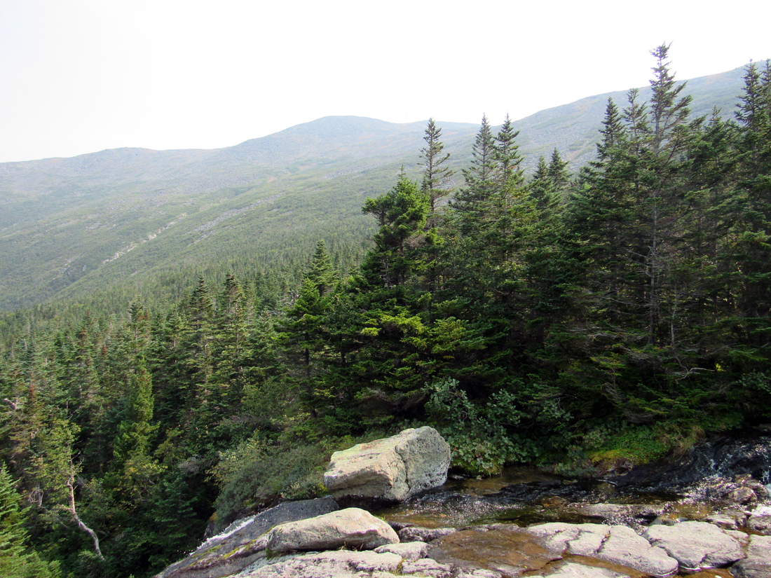
Above the steep section, the trail eases up a bit, crossing and recrossing the narrowing Ammonoosuc River. At one point, there's even a short ladder up a steep ledge. I climbed up ladder but mountain-goat Patches just hopped right up the ledge. This is definitely a great trail for cascades, but it can be wet and slippery when the water is high. There were nice, but unusually hazy views in the distance to the west and up to the ridge on the other side of the ravine. The haze made my pictures less clear, but as I found out later, it was also affecting the air quality since it was caused by smoke particles from large forest fires in California. This probably explained why I needed to stop more often to catch my breath. Only a month earlier, I had had no trouble climbing the Twins and Galehead, even though it was a longer trip with even more elevation gain than this hike.
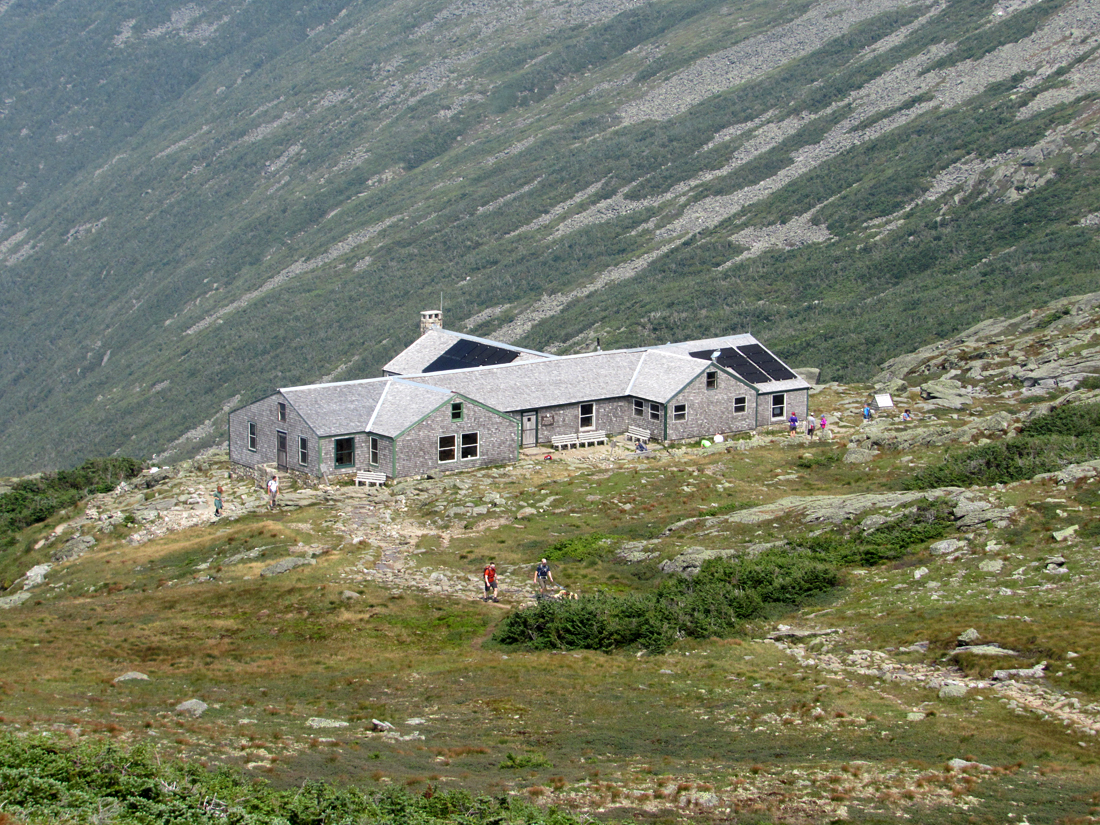
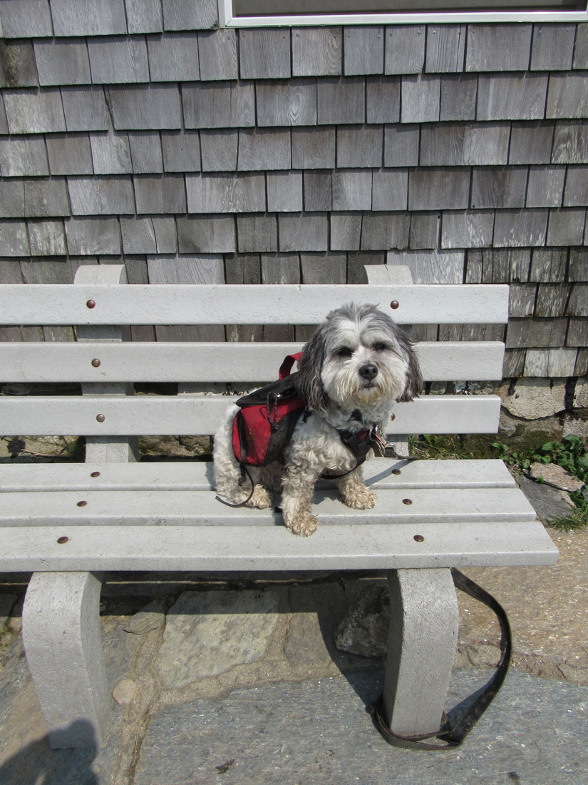
The trail seemed to go on forever, but finally, the hut popped into sight and we made our way up the last rocky section and around the corner to the front door. I took off my pack, tied up Patches to one of the benches that surrounded the door, and went inside to buy a hut tee-shirt, use the bathroom, and fill up my water bottle. Then I sat outside with Patches, eating a power bar and some Pringles while Patches had some of her dog food.
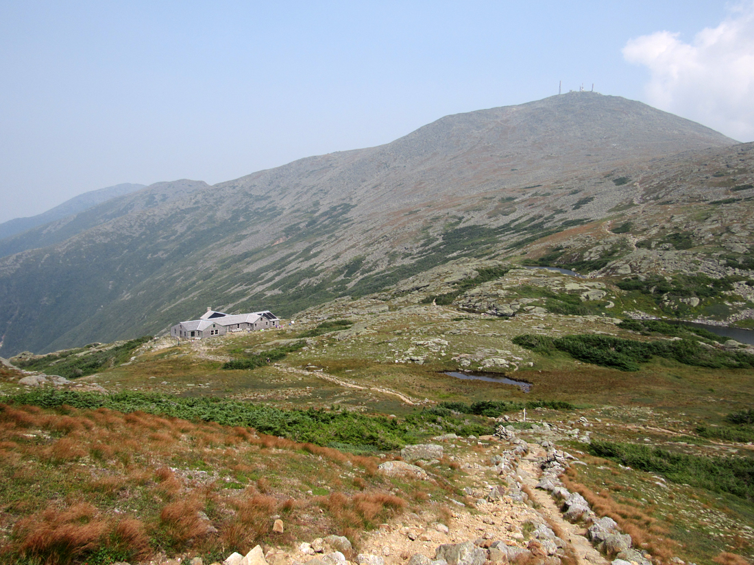
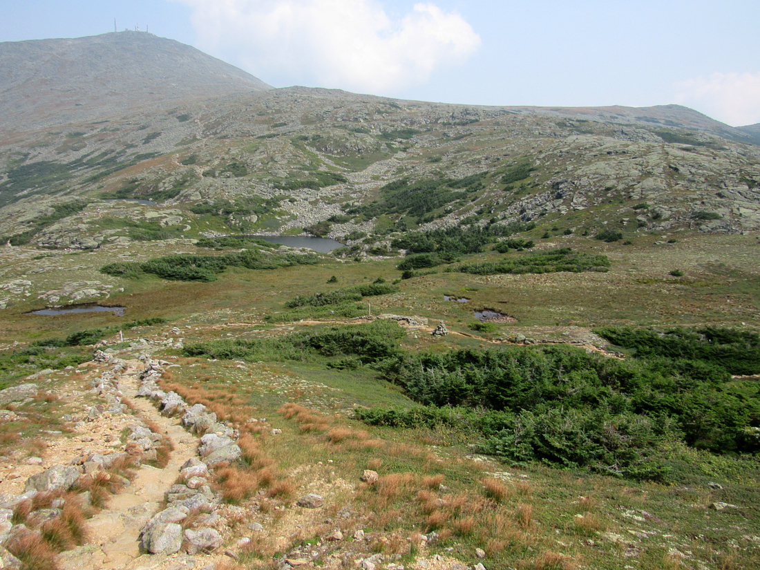
Since I was more tired than usual, we lingered outside the hut, enjoying the warm sun and mountain views. It felt good to just sit there, which is something I rarely do for any length of time on a hike. Finally, I put my pack on a bench in the hut and we set off to ascend nearby Mt Monroe. I trudged along up the path while Patches romped effortlessly, wondering why I stopped so often to rest and catch my breath. Along the way, I took a number of pictures back to the hut and up to Mt Washington. Even though I was tired, it was good to be in the mountains.
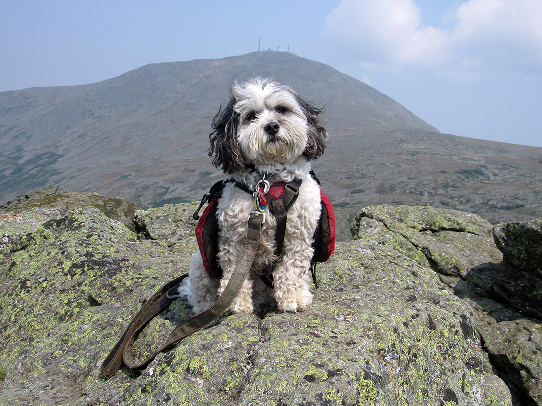
Finally, at the summit, we sat down to rest and take in the views. Looking to the south, there were extremely hazy views toward Mt Eisenhower and beyond. The Willey Range blended into the mists and was all but invisivle. Mt Pierce was virtually featureless and even Eisenhower's appeareance was muted. While we were sitting there, a couple of other hikers showed up and offered to take our picture. After they left, I looked at the two photos they took, and seeing that Patches wasn't looking at the camera in either of them, I decided to take a few more of just her. One of my shots came out great. In another, the wind had whipped up the hair on top of her head into a sort of weird Mohawk, while in the rest, she kept turning her head.
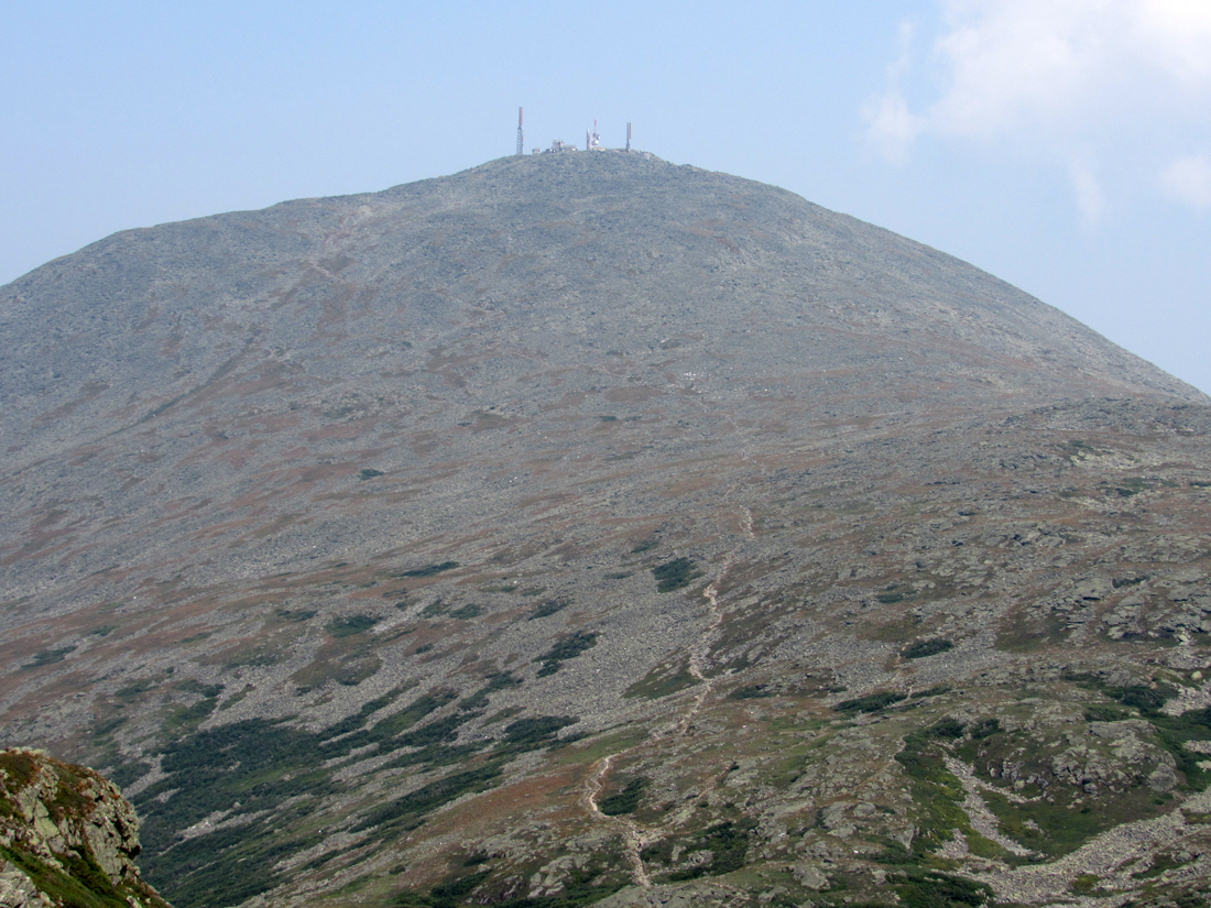
After returning to the hut, I had definitely given up the idea of climbing Mt Washington, so we sat back down on one of the benches outside and continued to savor the warm sun for a while longer. I could have continued to relax there all day, but eventually, I knew we had to head back down so we could make it home by a reasonable time. I was disappointed in not being able to make both peaks, but I knew my low energy level could have made the extra climb unsafe.
This was Patches' 32nd 4000-Footer. She now had only 16 left to go.
|
Lakes of the Clouds Huit sign at the junction of the Ammonoosuc Spur Trail from the Cog Railway parking lot and the Ammonoosuc Ravine Trail. |
|