|
After
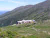
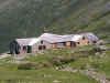
visiting the Dungeon, we began to ascend the Crawford Path, quickly
reaching the junction with the Mt Monroe Loop. A short distance up the
loop, I stopped to take a couple of pictures back toward the hut. Although
there was a little haze, views out to Mt Jefferson and Caps Ridge were
excellent.
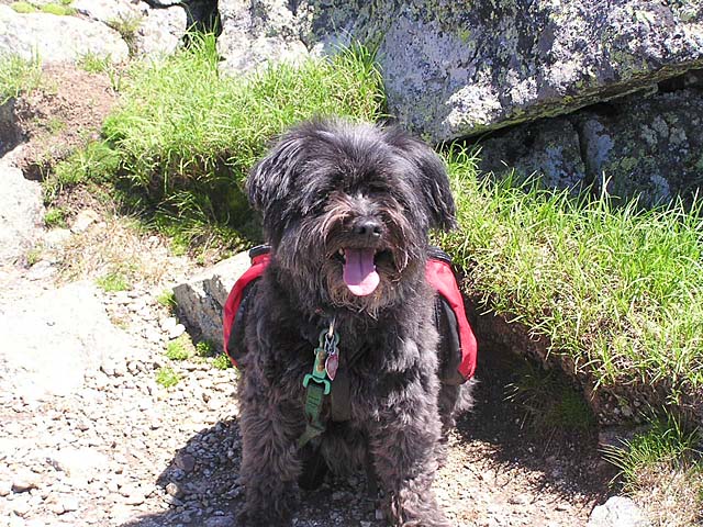
Like
many peaks in the Presidential range, Mt Monroe is very rocky, and in many places the trail
is little more than cairns
on the scree. I was a little worried about Muffin's paws, but she didn't
seem to be having any trouble. It isn't a long way to the top, however,
and almost before I knew it, we reached the summit.
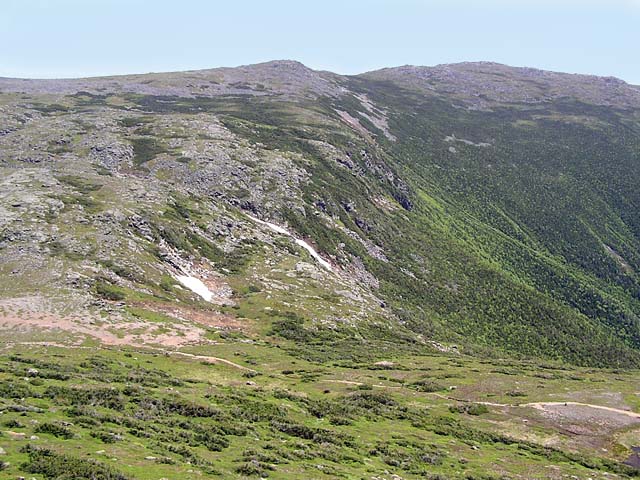
We stopped there for a short rest, mostly to enjoy the great views since
we had just rested at the hut. The views down to the Crawford Path and
Oakes Gulf were particularly good, as was the sight of Mt Washington and
the two Lakes of the Clouds. The hut itself was hidden by a shoulder of Mt
Monroe.
On
the way down the other side, I figured that we'd have to follow the trail
over Monroe's south summit before returning to the Crawford Path, which I
wasn't interested in visiting today. But near the low point in the trail,
I discovered a pretty-well beaten shortcut back to the Crawford Path,
which is fairly close to the Mt Monroe Loop at this point. I'm sure this
shortcut wasn't here the last time I was on this trail, back in
1999.
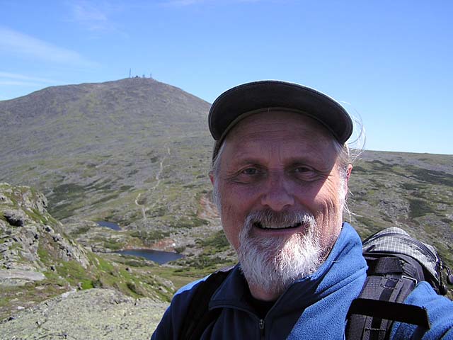
Around
this spot, I met a professional photographer who was taking more than a
few pictures of the mountain scenery. He liked Muffin's backpack and took
a photo of us coming down the trail. I wonder what happened that picture?
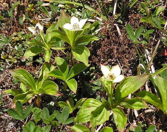
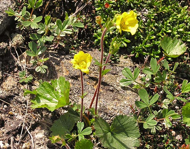
When
we were back at the hut, one of the Croo had informed me that we'd missed
the height of the alpine blooming season by about a week. Never-the-less,
there still were quite a few flowers in bloom along the trail, including
some starflowers and mountain avens. |
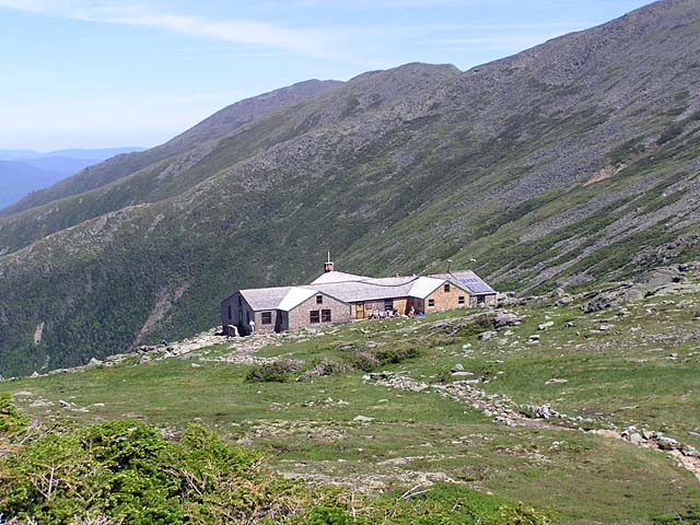
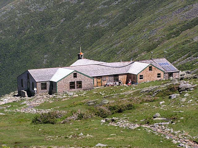
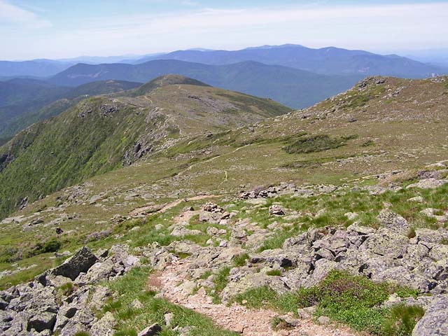
Lakes
of the Clouds Hut from the Mt Monroe Loop. Both pictures were taken
from the same spot, a short distance up the loop from its junction
with the Crawford Path. In the top, wide-angle picture, the most
distance peak is Mt Jefferson with the Caps Ridge descending to the
left. |
 |