|
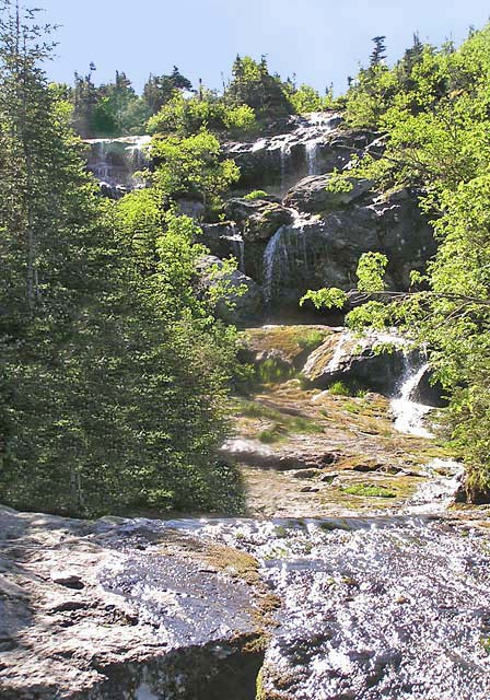
Above the
quarter mile long steep section, the trail eases up a bit,
crossing and recrossing the narrowing Ammonoosuc River. At
one point, there's a short ladder up a steep ledge. This is
definitely a great trail for cascades, but can be wet when the water is
high.
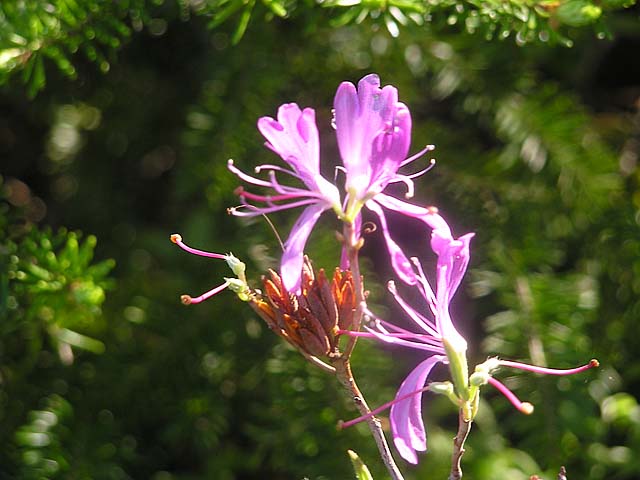
As
we climbed higher, I began to see lapland rosebay in bloom. This
dwarf alpine shrub, a type of rhododendron, generally grows no more than
12 inches tall. It's apparently native to alpine areas in the White
Mountains and Adirondacks, and to the Wisconsin Dells, although the name
"lapland" seems to suggest that it originated in Finland.
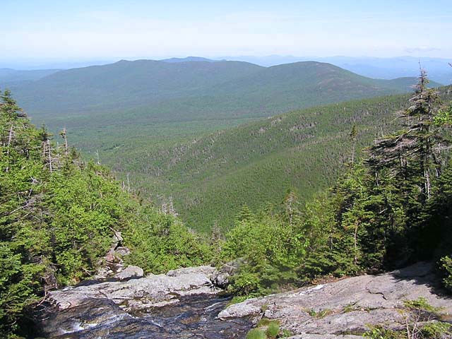
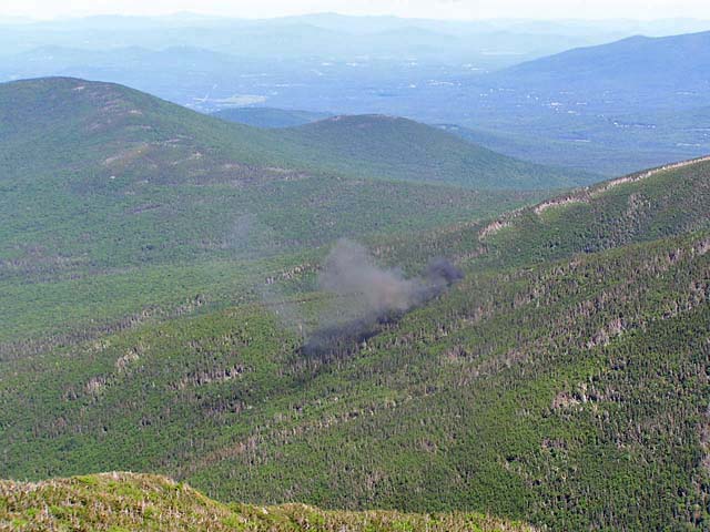
Looking
back, there were great views to the west, and up to the ridge on the other
side of the ravine where the Cog Railway belches out smoke and frequent
whistles on its way up to Mt Washington.
As we began approaching
treeline, we left the river behind. The
views back down the ravine here were great. We could also see up to Mt
Monroe, Little Monroe, and Mt Washington. The hut itself is not visible
until you're just about right on it.
Once
we arrived at the hut, I tied Muffin up outside, gave her some water and
food, and went in to get a t-shirt and some pancake pieces left over from
breakfast. Most of the overnight guests had left by this time, and the hut croo were busy with the day's activities.
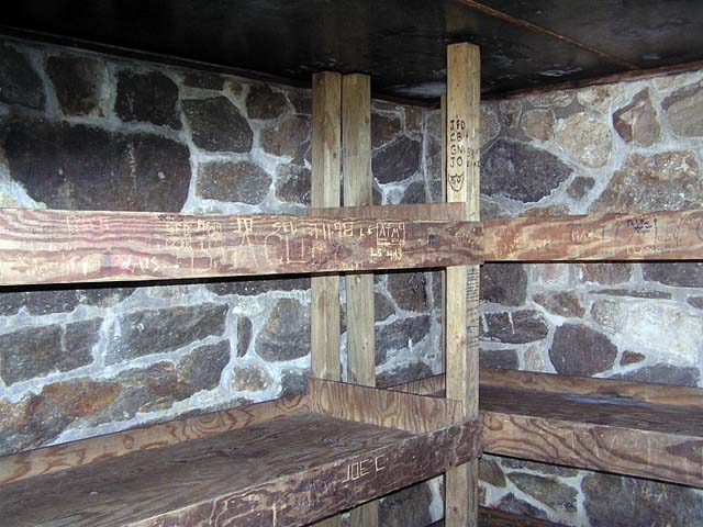
Before
Muffin and I left for Mt Monroe, we walked over to the other side to get a
look at the Dungeon, which is the room they keep open in the winter for
emergencies. It is very small, with a couple of bunks and enough room to
stand up and stretch. Nothing elaborate, but definitely shelter in a
storm. |
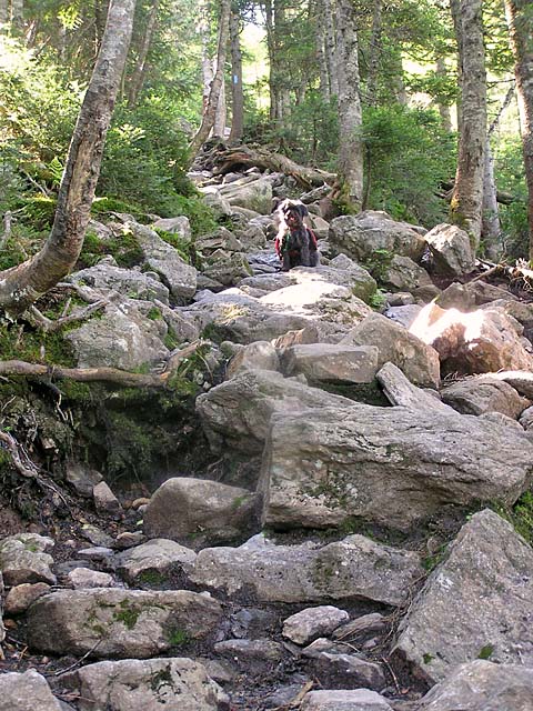
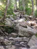
Muffin
up a steep portion of the Ammonoosuc Ravine Trail. The section
just above Gem Pool gains 1000 ft elevation in only 2/10 of a mile, and
then another 700 ft in the next 2/10 of a mile. |
|