|
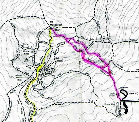
We
parked the car at the Mt Monadnock State Park campground, and started up
the White Dot Trail, passing the Visitor Center at the Trailhead. We
bypassed the spring by taking the Spruce Link trail to its junction with
the White Cross Trail. After a very short rest, we began hiking up the
White Cross Trail. It was a fairly hot day, and the trails were crowded.
There were lots of people climbing who didn’t appear to have sufficient
water, and who weren’t wearing appropriate boots. Many popular trails
seem to attract this sort of crowd. The White Cross Trail was very rocky
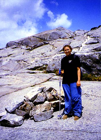
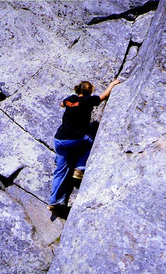
for a short distance, then began to have more and more ledges. We stopped
for a picture at one particularly large steep ledge with good views to the
southeast.
We
continued climbing up ledges until we got to a relatively flat wooded
area, which went on for a while and then began climbing again. Soon we
came to areas that had open ledges with views off to the south and
southeast. We could see Mt Wachusett very clearly. When we thought that we
were just about to the top, we came to a sag with numerous small pools and
patches of dirt and scrub, and could see the true summit in the distance.
After the sag, we began climbing the summit cone where the trail was
marked with cairns.
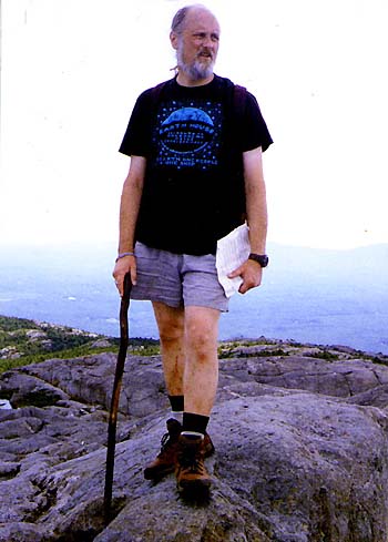
Finally,
we made the summit. The views were good in all directions. We could see Mt
Wachusett, Mt Sunapee, Vermont, the White Mountains, and the Berkshires.
There were a number of people on the top, relaxing and eating lunch.
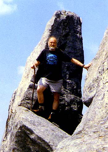
After
lunch, we started to head back down. Just below the summit, we found some
interesting boulders and outcrops that we stopped to climb on. We had to
climb down to get to them, but they made some nice pictures. On the way
down, we took the White Dot Trail, which involved more scrambling than the
White Cross Trail and wasn’t as good for going down. We stopped at the
spring on the way back, but didn’t stay long because of too many
mosquitoes. |
|
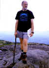
Me on the summit.
From the somewhat crowded summit, we could see
Mt Wachusett, Mt Sunapee, Vermont, the White Mountains, and the Berkshires. |
 |