|
On
Friday, November 12, our family drove out to the Pocono Mountains in
eastern Pennsylvania for a weekend of camping and to attend a
Society for Creative Anachronism (SCA) event across the river in New
Jersey. The SCA is basically something my wife, Toi, is involved in,
but we all go to some of their events, as well as to some
Renaissance Faires, such as the King Richard's Faire in South
Carver, MA. Anyway, the SCA event was just a daytime affair on
Saturday, so we planned other activities to fill up the weekend and
make the long drive worth it. One
activity that I wanted to do while there was to climb a mountain
that I had never been up before. I picked Mt Minsi because it was
close to the campground, and was one of the higher peaks in the
Poconos yet was still a hike that could be done in a couple of
hours. That way, I wouldn't be away from my family for too long. I
also left fairly early in the morning - around 5 AM - so I could be
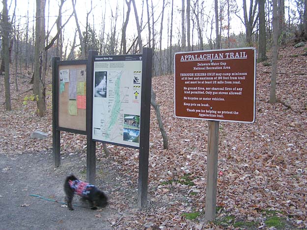
back in time for all of us to go out to breakfast together. Muffin
and I got to the trailhead in the town of Delaware Water Gap just as
it was starting to get light out. The temperature was right around
freezing, and a light snow had fallen overnight at the campground. I
had decided to climb Mt Minsi via the Appalachian Trail (this
section of the trail doesn't have another local name) and then come
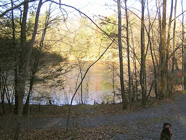
down via the Mt Minsi Fire Road, which loops right back to the Lake
Lenape parking area off Mountain Road.
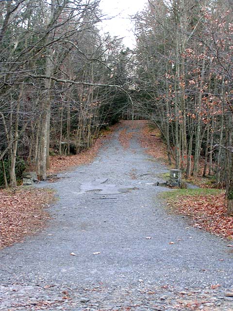
The
Appalachian Trail shares the first couple of tenths of a mile with
the Mt Minsi Fire Road, diverging left just after Lake Lenape. The
fire road is a wide gravel roadway, but as soon as we turned off,
the trail narrowed into a leaf-covered dirt path.
|
Muffin
in the tent. We camped at Otter Lake Campground in Marshalls Creek,
PA for two nights. |

|