|
This was yet
another hike where I didn't have to drive all the way from home since my
wife and I were at a Society for Creative Anachronism (SCA) camping
event near Hebron, Maine, only about an hour's drive from Gorham. Seeing
as I am not really into SCA events, I decided to take advantage of the
relatively short drive to go on a day hike to see the new Madison Spring
Hut and hopefully climb Mt Madison. I didn't plan on anything longer
than that because of a sore knee.
The weather
forecast was for nice weather, but it was absolutely pouring when I woke
up in the tent at 4:00 AM in Hebron, ME. I listened to the forecast
again to make sure that it was still supposed to be nice, and then
started on my way. It poured most of the way there, but about the time I
crossed the state line, it had stopped raining and even began to clear a
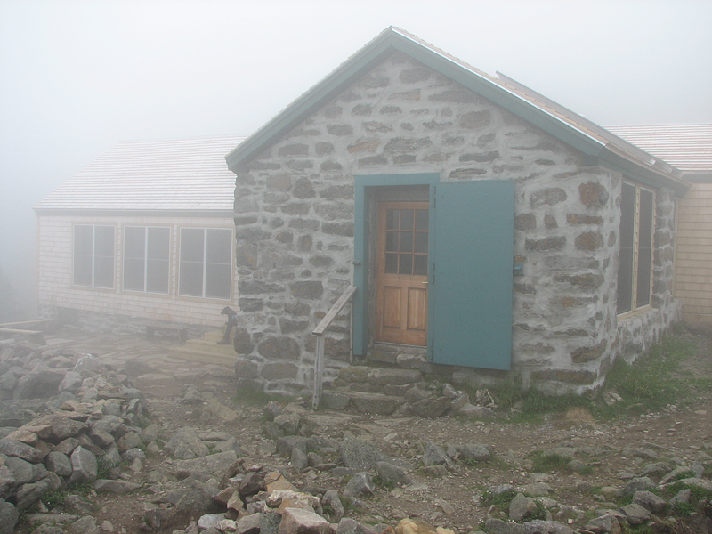
bit. When I got to the Appalachia Trailhead, the sky had cleared but the
peaks were still in the clouds.
I debated as to
whether I'd take the Valley Way straight to the hut and then climb Mt
Madison via the Osgood Trail, or whether I'd veer off onto the Watson
Path and go to Mt Madison first. But by the time I reached the junction
with the Watson Path, my knee was more sore than I had hoped, so I
elected to continue on the Valley Way and rest at the hut first.
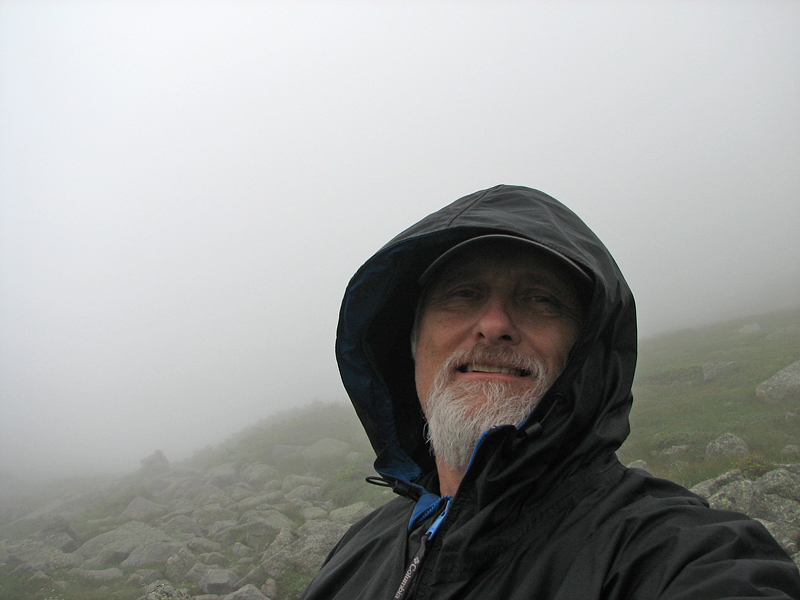
The weather began
to deteriorate as I got higher. Somewhere around the Valley Way Tent
Site, I entered the clouds and a light mist began to fall. And once I
hit treeline, it turned into a cold wind-driven mist, so I was glad to
get indoors. The hut was not crowded; there was one croo member (whose
name I don't remember) cooking in the kitchen (the rest had headed down
for supplies), an informational volunteer named George, and a couple of
other hikers.
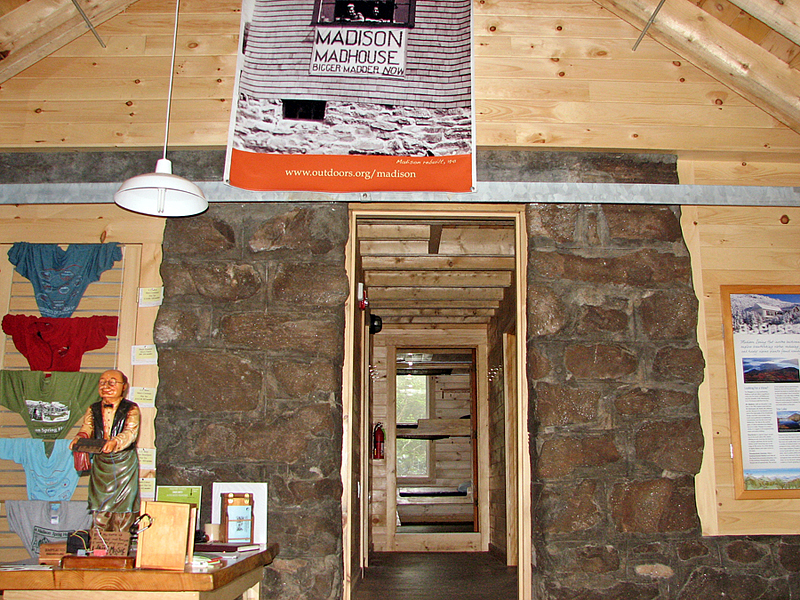
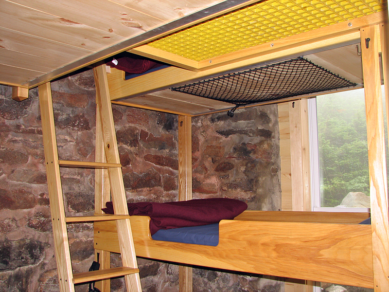
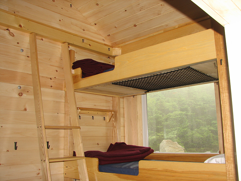
After changing
into a dry shirt, George gave me a tour of the new hut. The dining area,
kitchen, and bathroom wings were totally new construction. The old stone
structure had been salvaged but was completely remodeled inside, divided
into a number of smaller bunkrooms with the bunks separated into cozy
and more private nooks. It's definitely a good design, and I look
forward to staying there sometime while it's still new.
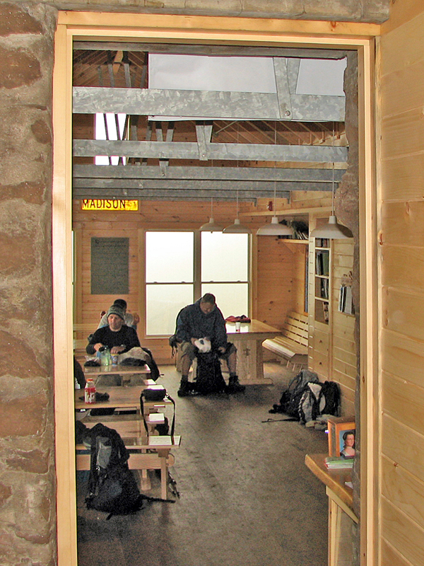
Back in the
dining area, I was drinking some Gatorade when a hiker came in,
announcing in a worried voice that his (adult) daughter had slipped and
fallen somewhere around the Gulfside and Airline Trail junction. The
man's sister had stayed with her, but his vision was poor, so he came on
ahead to ask for help. From his description, it didn't sound like a
serious accident, but he was clearly worried. The croo member wasn't
supposed to leave the hut unattended, but George volunteered to go look
for her (and bring blankets and a hot drink) if the girl and her aunt
didn't show up within the next few minutes. Being an AMC trail
maintainer with Wilderness First Aid training, I told him that I'd go
with him if he needed me. He gladly accepted. We didn't end up going
out, however, because the two hikers showed up, chilly unhurt, about
five minutes later. Thus, gladly, ended my almost first search and
rescue.
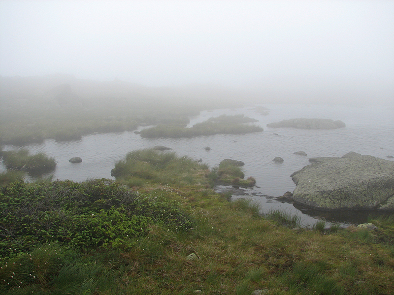
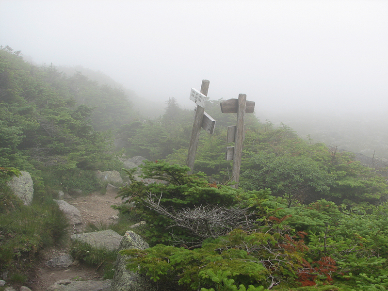
The weather was
not clearing and my knee was still sore, so after a half hour or so, I
decided to abandon my summit attempt and just head over to Star Lake,
which I had never visited. It's not very far, and the path is mostly
level, so I left my pack in the hut and headed back out into the wind
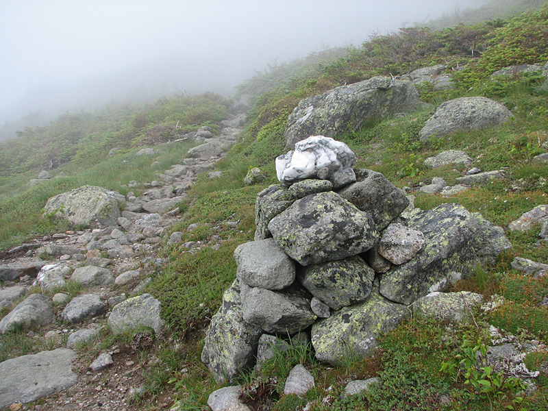
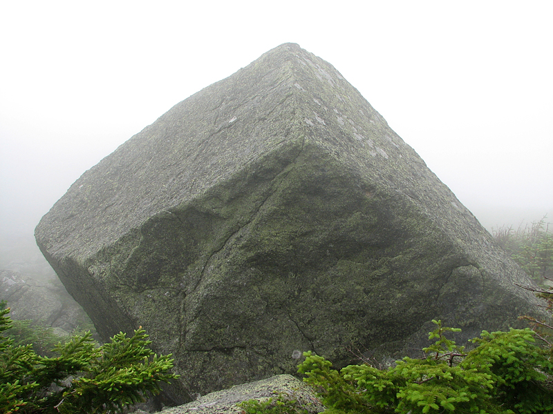
and mist. This was am interesting and somewhat magical hike in the thick
fog, which shrouded everything in mystery. Without the visible presence
of nearby Mts Madison and Adams, the scenery could just as well have
been a lonely English moorland. Marble-topped cairns were, by design,
like beacons, making it easy to find the path, even in the heavy fog.
And one immense squared boulder looked much like a toy block left behind
by some forgetful giant. It was also a peaceful and quiet place, the
only sound that of the relentless wind buffeting the hood on my jacket.
Back at the hut
again, I squared away my pack, including the new
commemorative Madison
Spring Hut T-shirt I had purchased, and then headed cautiously back down
the Valley Way over the wet, slippery rocks.
Later, while
stopping at Pinkham Notch to look for a souvenir, I heard that there had
been another, more serious accident on the Spur Trail, not too far below
Thunderstorm Junction, and that George and the croo member I had met had
been dispatched to the scene. I think an RMC member from Crag Camp or
Gray Knob had also headed out to help. As I found out later, a
helicopter had been called in, and the hiker, who I think had a broken
leg, had been flown out. If I had been up there another hour or so, I
too would have been enlisted to help out, although I'm not sure how
quick I could have been with my sore knee. |
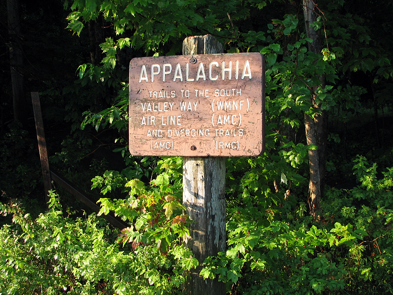
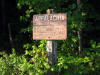
The Appalachia
Trailhead. A number of trails leave from this spot, including the
Valley Way. |
 |