|
The plan for this trip was for Toi, Muffin, and I to go up the Valley
Way, stop at Madison Spring Hut, then climb Mt Madison. After that, we
were going to head over to Mt Adams, and then descend via the Spur Trail
and Amphibrach, stopping at Crag Camp on the way down. Of course, it
didn't quite turn on like this.
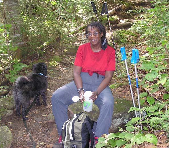
We got to the Appalachia Trailhead around 8:00, and were soon on our way
up the Valley Way. The trail was wet and slippery from a rainy night,
but it was a nice day now, and as usual, Muffin was having a great time
running up and down, doing twice as much mileage as us humans. We
stopped for a nice rest near the Randolph Path, even though Muffin,
who's always anxious to get moving again, wasn't too pleased about it.
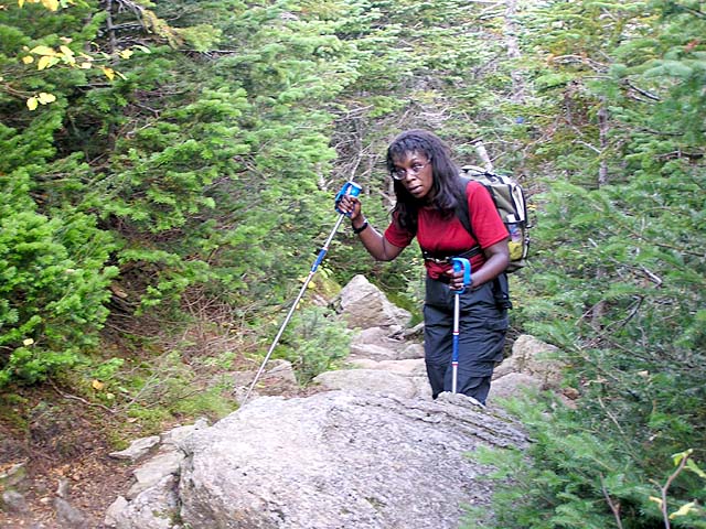
Occasional
views of Howker Ridge and its craggy "Howks" were welcome as we began to
tackle the steeper sections of the trail. I had been lagging behind Toi
for most of the way up since she had been exercising more regularly than
I had been lately, but as we got closer to treeline, she slowed down
considerably and I had to stop and wait for her every so often. At the
time, I didn't think much of it, as I usually get a second wind when I
start getting close to treeline.
But by the time we reached the Alpine Zone, she was totally bushed and
ready to collapse. Finally, a couple of tenths of a mile or so before
the hut, she got a terrible leg cramp and had to sit down and massage
her leg for quite a while before we were able to continue on to the hut.
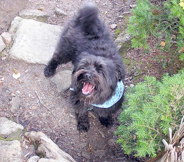
Muffin just smiled and wondered what the holdup was. I suspected that
she hadn't been drinking enough water, but figured that she'd be as good
as new after a nice long rest at the hut, along with some lunch and a
lot of liquids.
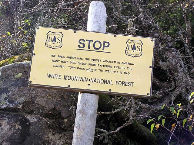
After passing the "Stop" sign and coming out into the open, we soon
reached the hut, and tied Muffin up outside and went in for a
well-deserved rest. The hut was getting ready to close for the season in
a few days, so a number of the
croo, along with help from a family of through-hikers,
were working to prepare the hut for the winter. |
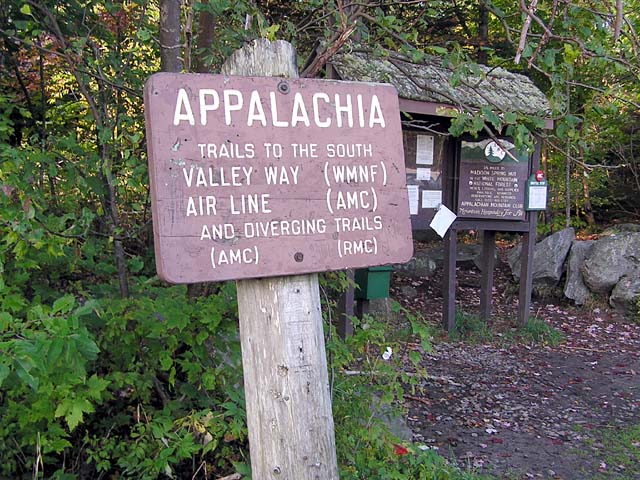
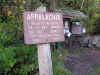
The Appalachia
Trailhead. A number of trails leave from this spot, including the
Valley Way and Airline, both of which we took. |
|