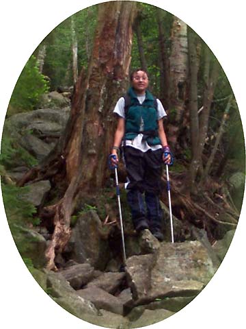
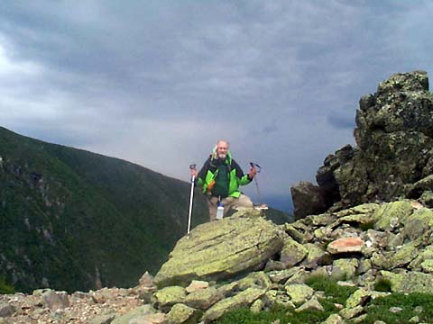
|
Along
the way, we met a group of hikers who were on the way down. They had come up the
Crawford Path, stayed at Lakes of the Clouds
Hut, then taken the Gulfside
Trail to Mt Madison and had stayed at Madison Spring Hut. They said it was
very windy up on the ridge, especially on the knife-edge section of the
Airline Trail. We could hear the wind whistling through the trees above
us, and had guessed it might be windy above treeline.
After
passing a short spur trail to a spring, which we did not stop at since we
still had plenty of water left, the trail quickly got steeper, veering
somewhat away from where I suspected King Ravine was to the right. The
trail climbed by numerous short switchbacks. We were making good time. By
the time we reached the Scar Trail coming up from the Valley Way, we were
only 15 minutes behind book time.
By
this time, the trees had all changed to fir and spruce, and were now
getting smaller and smaller. A man and his dog caught up with us, passed
us, and then stopped for a lunch break. Just beyond
this point, the scrub gave way to open ridge, and we were above treeline.
Actually, I assumed that we were both above treeline, because Erin had
taken off ahead and I couldn’t see her any more. The trail was still
climbing, and I was expecting to find her beyond the next few cairns where
the trail leveled off somewhat.
The
views across and down into King Ravine were spectacular. The ridge
wasn’t real narrow here, but the dropoff down into King Ravine was still
very sheer. Soon, I could see Erin up ahead and told her to wait. I
didn’t think that she was paying any attention to the views. Still
higher up and to the left, I could see Mt Madison, with the hut just
visible at the foot of its summit cone. Mt Adams was slightly to the right
beyond the King Ravine headwall.
It
was pretty windy, probably a steady 30 mph gusting to maybe 50 or
more. The ridge began to narrow and we soon reached some rock outcrops
with an almost vertical drop down into King Ravine. The other side of the
trail dropped off less sharply into Snyder Brook Ravine, where the Valley
Way Trail follows the course of Snyder Brook.
Just
beyond the outcrop, we passed over the knife edge section of the ridge
where the trail squeezed into a narrow path. On the right, the precipice of the ravine
loomed at the very edge of the trail. On the left, a jumble of boulders
forming a jagged border provided much-welcomed handholds. It
reminded me a little of pictures of donkeys I had seen taking people down
trails cut into the walls of the Grand Canyon.
The ridge soon began to widen again and trail wound upward among the rocks
toward the summit ridge. Madison Spring Hut loomed larger ahead and to
the left, but we were also beginning to be bombarded with tiny stinging
droplets of wind-driven rain or fog.
|
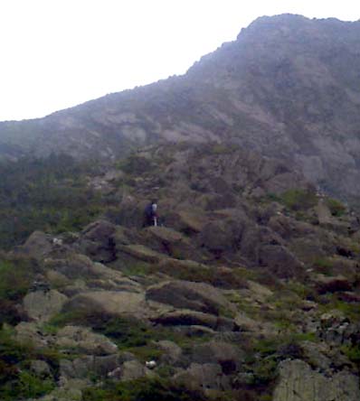
Erin
on the Airline Trail. In this section, the trail climbed by numerous short
switchbacks. |
|