|
On
this trip, I was going to take Erin, so I first had to drive down to
Milford to pick her up at 5:00 AM. We drove up to Randolph, stopped
at Lowe’s Store to call home, then parked at the Appalachia Trailhead.
The weather was mostly cloudy, and the temperature was
around 60. The forecast, which had originally called for another nice day
with possible showers in the evening, had now changed to possible showers
in the afternoon. However, the clouds looked ominous, and I was worried
that it might start raining much earlier. Our plan was to climb either or
both Mt Adams and Mt Madison, while also stopping at Madison Spring Hut.
How far we could actually go depended mostly on the weather.
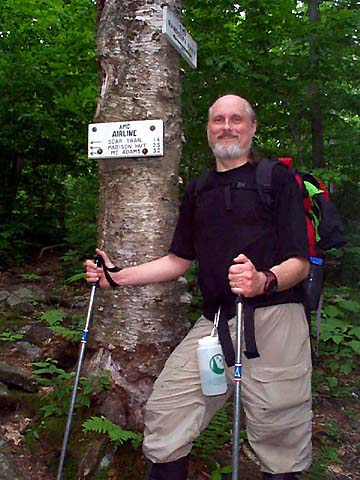
After
putting on our packs, I took a picture, and we started up the common trail
leaving the parking lot. Soon after entering the woods, the trail crossed
over the bed of an abandoned railroad, then arrived at a junction
where the Airline Trail branched to the right and the Valley Way branched
to the left. We turned right onto the Airline Trail, which began gently
climbing upward through a hardwood forest. The Airline Trail climbs to the
Mt Adams/Mt Madison ridge via the Durand Ridge, which is bordered on the
West by the deep and rocky U-shaped King Ravine, and on the East by the
gentler V-shaped Snyder Brook Ravine.
After
about a half-hour, we came to the junction where the Randolph Path crossed
the Airline Trail. The Randolph Path, which is a long trail that goes from the
town of Randolph (about a mile east of the Appalachia Trailhead) to
Edmands Col between Mts Adams and Jefferson, was quite overgrown, and
looked little-used.
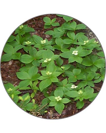
After a short rest, snack, and drink, we continued up the trail.
There were no views in this section of the trail, but the woods were nice
a mixture of hardwoods and balsam firs. There were also a number of
wildflowers along the trail, including bunchberries.
|
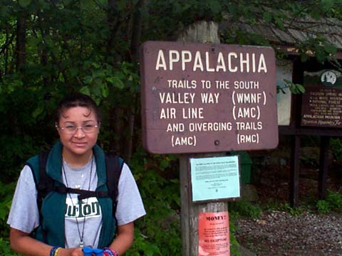
Erin
at the Appalachia Trailhead. A number of trails leave from this spot,
including the Airline and Valley Way. |
|