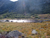
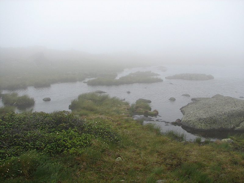
After resting at the hut for part of the afternoon, I decided to take a stroll over to Star Lake and the Parapet. I'd only seen Star Lake up close once before, and that was on a very foggy day in July of 2011, and I'd never been to the nearby Parapet, a rocky outcrop that overlooks the Great Gulf and Mt Washington. Star Lake is just a short walk from the hut on the appropriately-named Star Lake Trail.
This tiny lake was quite picturesque, lying between the summit cones of Mt Madison and Mt John Quincy Adams. The view of the sun's rays filtering down from behind Mt John Quincy Adams and reflecting off the lake was quite magical in the late afternoon.
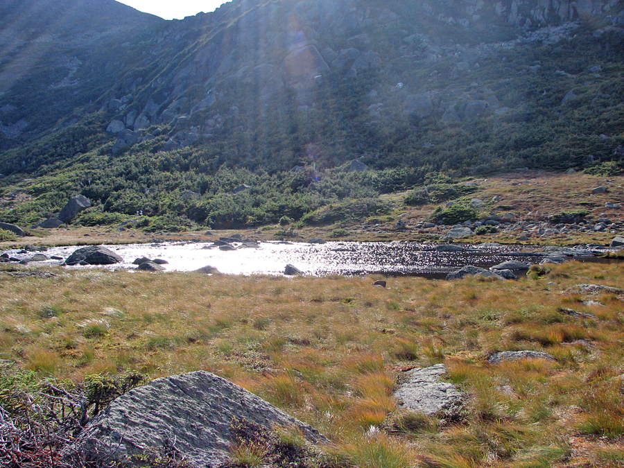
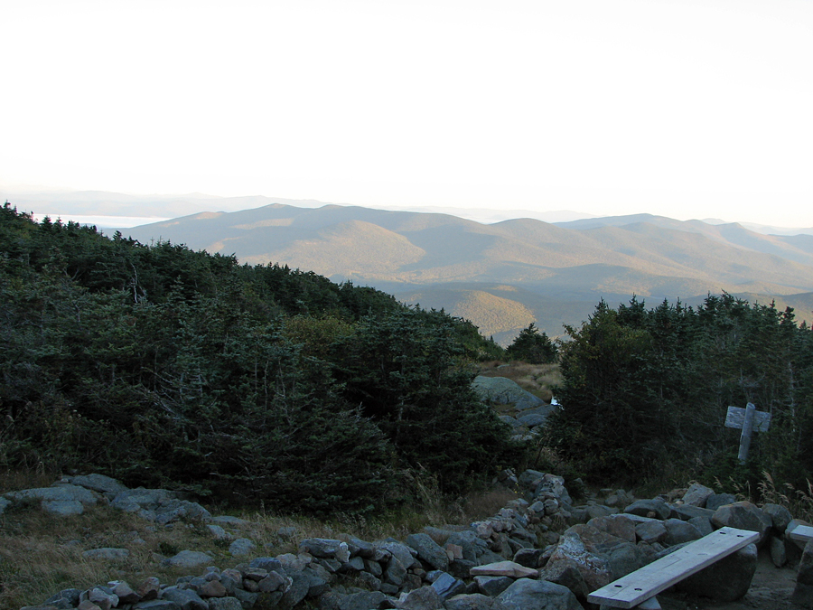
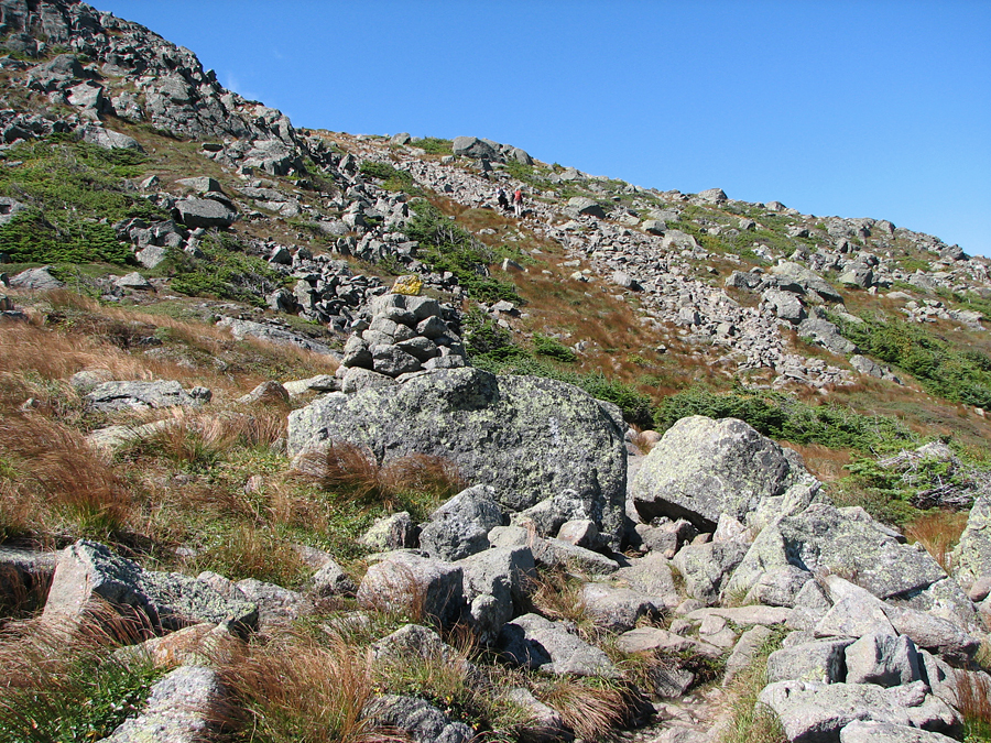
The Parapet itself was just a few steps away from the far side of the lake along the intersecting Parapet Trail. There, I took a great picture of Mt Washington, now completely in the clear, as the morning's fog had dissipated, leaving only a high broken cloud cover. From the Parapet, I couldn't resist hiking a ways down the trail, which eventually intersects the Osgood Trail below the summit of Mt Madison. I wanted to go at least as far the intersection of the Madison Gulf Trail, a trail that descends preciptitously into Madison Gulf, a steep ravine rising out the northern side of the Great Gulf. It is considered to be the toughest climb to Mt Madison, especially slow on the headwall of Madison Gulf.
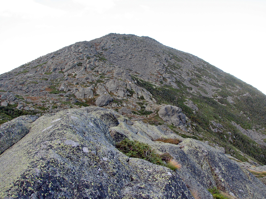
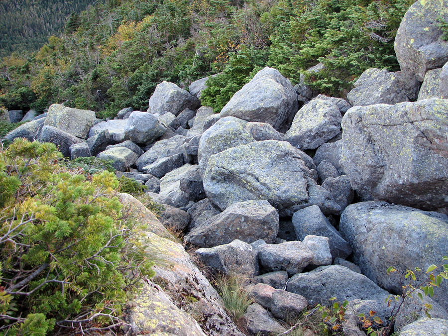
Reaching the Madison Gulf Trail, I found that there was no real view down into the Gulf from the top of the trail, so I decided to climb down a short distance to where I could get a better view. A "short distance" turned into about 200 vertical feet before the trail took a sharp left turn straight downhill on a narrow sea of huge boulders. I could see why it might take extra time to climb up this trail, and this wasn't even the tricky part of the ascent.
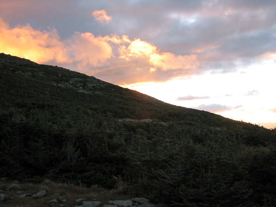
Just after supper that night, as the sun was going down over Mt John Quincy Adams, I rushed outside with my camera to take a picture. The sun itself was invisible behind a thick layer of glowing orange and glowering gray clouds.
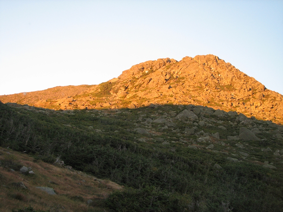
The next morning dawned bright and clear, the sunrise casting a golden glow on the upper half of Mt John Qunicy Adams, and lighting up the yellow orange foliage on the distant Pliny Range north of Rt 2. This was quite a different view from yesterday's misty undercast.
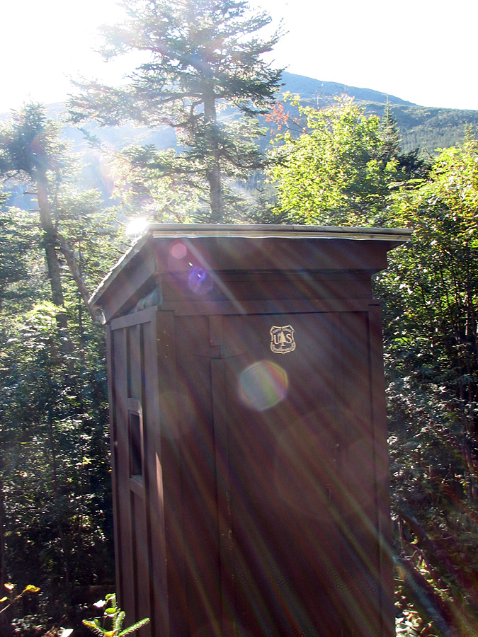
After breakfast, it was time to start packing up and heading out. It was Friday, and I was going home to spend the weekend with my family. It had been an interesting trip, even though I had cut short my trip across the Presidentual Range. On the way down I stopped to get a look at the Valley Way Tentsite, which although I had passed the access trail many times, I had never been up. The tentsite consisted of two hardened tent pads, both occupied the night before, and a composting outhouse, not a bad place to spend a night.
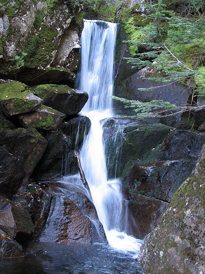
Lastly, since my pole was still holding out, I took another detour down the Lower Bruin Trail to see Duck Fall, a pretty cascade in Snyder Brook at the trail's intersection with the Watson Path. From there, it was a short hop back to the Valley Way, and then back down to the trailhead, where after about a half-hour's wait, the AMC shuttle stopped to carry me back to the Highland Center and my car. |
Star Lake. Behind it at the right is the sheer rocky face of Mt John Quincy Adams while the Mt Adams summit cone rises at the left. |
 |