|
After a short rest at the hut, I decided to head over to Mt Adams while the weather was still mostly clear. The way the clouds were scudding across the peaks, I wasn't sure whether they might not envelop the entire ridge, destroying all views and possibly even bringing some rain.
I first considered taking the Star Lake Trail to Mt Adams, but decided that it might be too arduous for my pathetic limping pole, which although my repair seemed to be holding, wiggled a bit when I put enough pressure on it. Next, I figured that I'd just head up the Gulfside and the Airline directly to the summit. That was until I actually reached the Airline Trail junction and started to climb up that way. The wind was so strong and the route so exposed that I said "no way" to myself, turned around, and returned to the more sheltered Gulfside, knowing that I'd be much less exposed to the wind by taking the Gulfside to Thunderstorm Junction, and then climbing up the other side of Mt Adams on Lowe's Path. On my way back down the Airline, I met a couple of hikers who were also heading up to Mt Adams. I told them what I was doing, and then after I had hiked a ways up the Gulfside, I happened to look back and saw that they too, had turned around and were following in my footsteps.
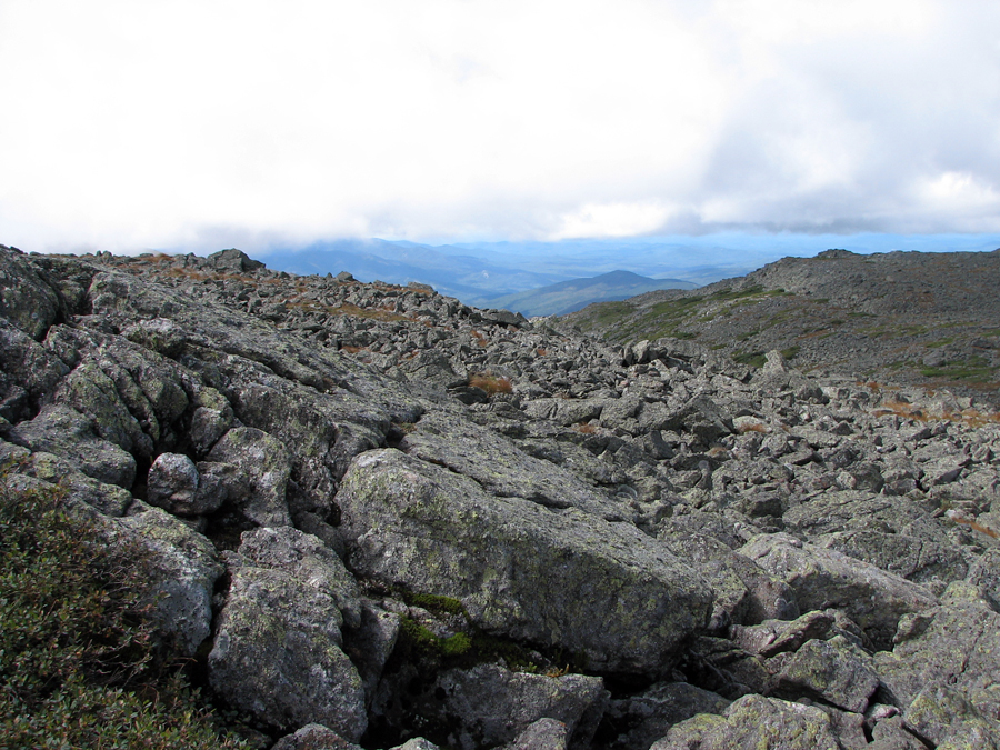
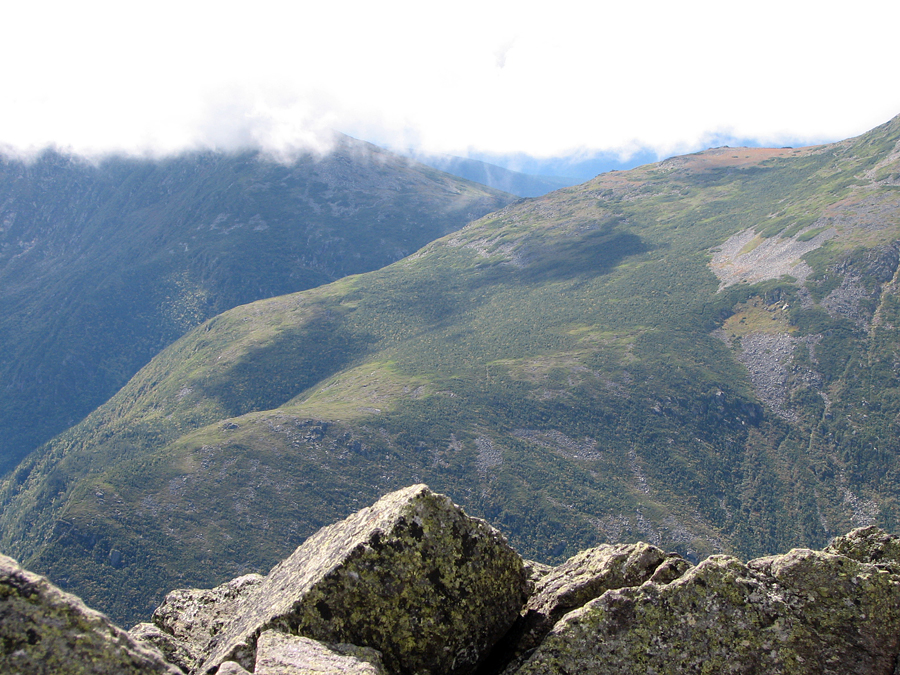
The Gulfside is, in many places, an extremely smooth path thanks to the work of the Randolph trailmaker J Rayner Edmands in the late 19th and early 20th centuries. He believed that White Mountain trails ought to be evenly and smoothly graded. Consequently, there are lot of well-placed flat stones along the Gulfside trail. Actually, It's a nice change of pace from most of the rough and boulder-strewn trails in the Presidentials.
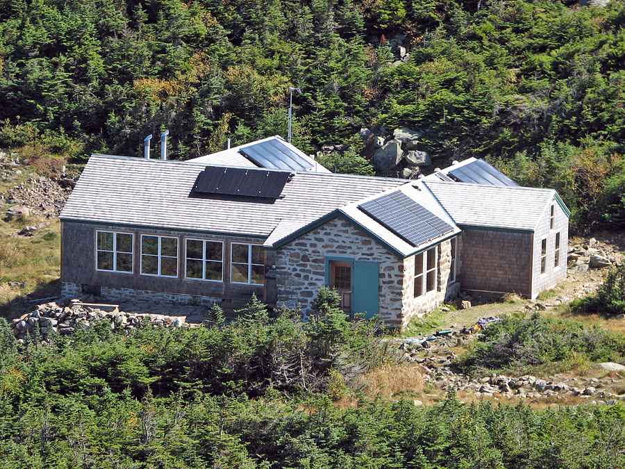
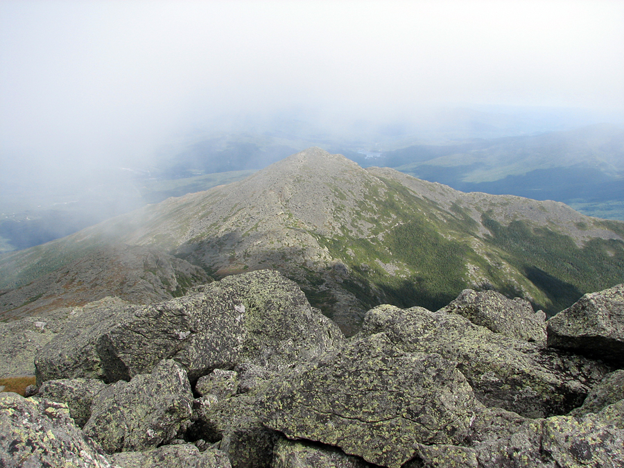
Views were excellent from the Gulfside. Clouds were still rolling across the tops of peaks, but never dropping down as low as the main ridge. Especially impressive were the outlooks into King Ravine and across to Crag Camp. I was able to get a nice zoomed-in shot of this RMC hut. I remembered how our dog Muffin and I had stopped there in 2003 on our way back down from RMC's tentsite and shelter, The Perch, and how I had taken a picture of myself with King Ravine in the background. It's hard to believe that trip was ten years ago.
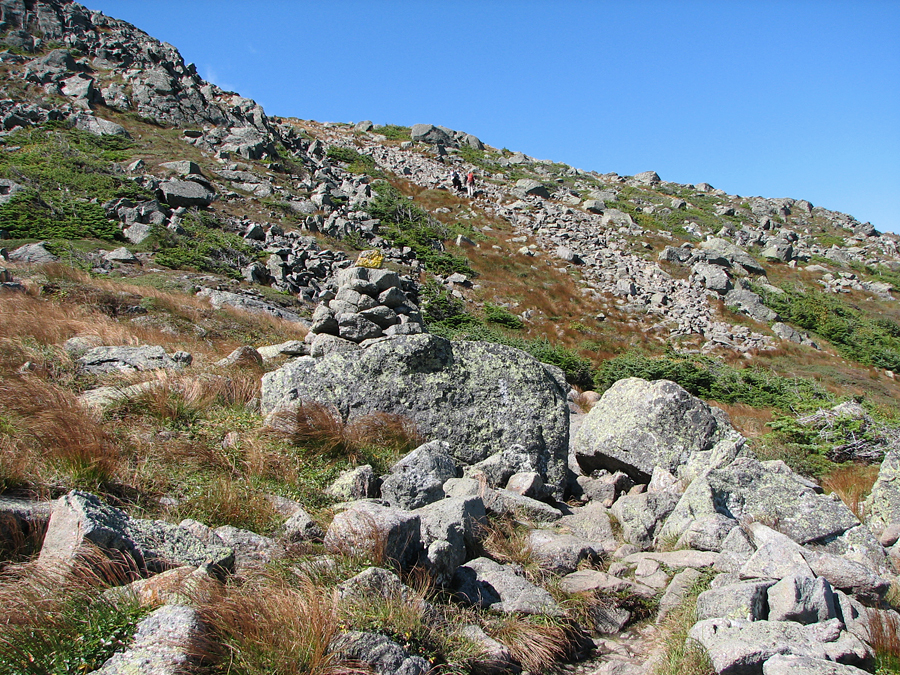
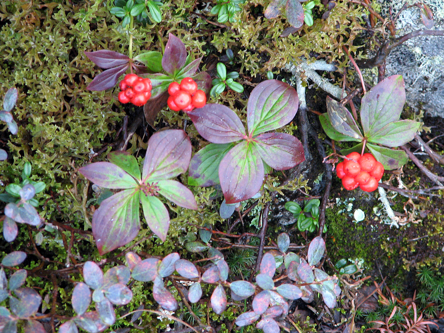
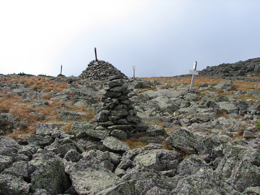
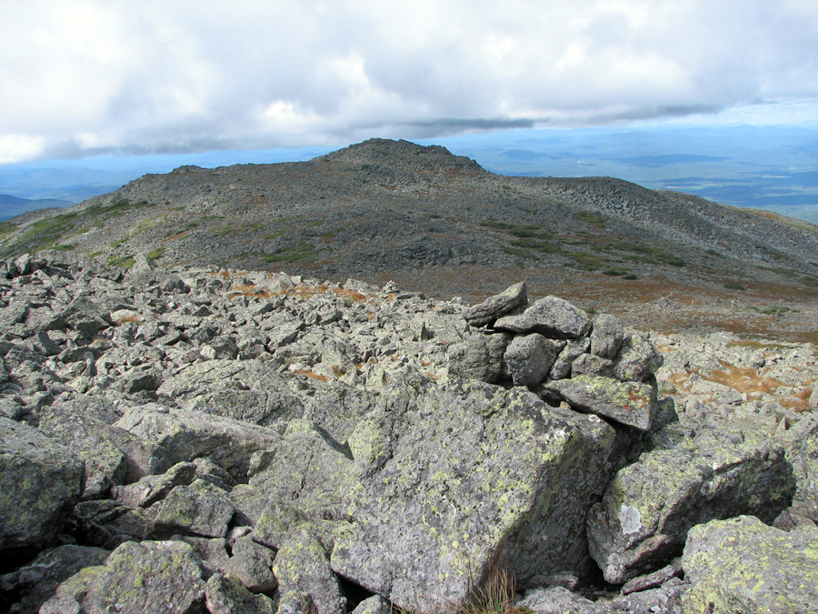
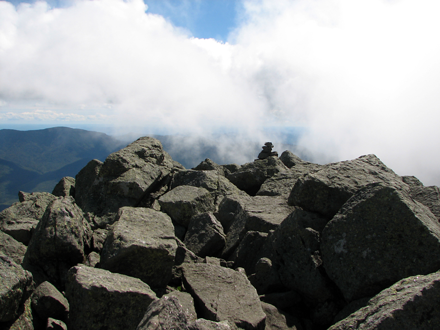
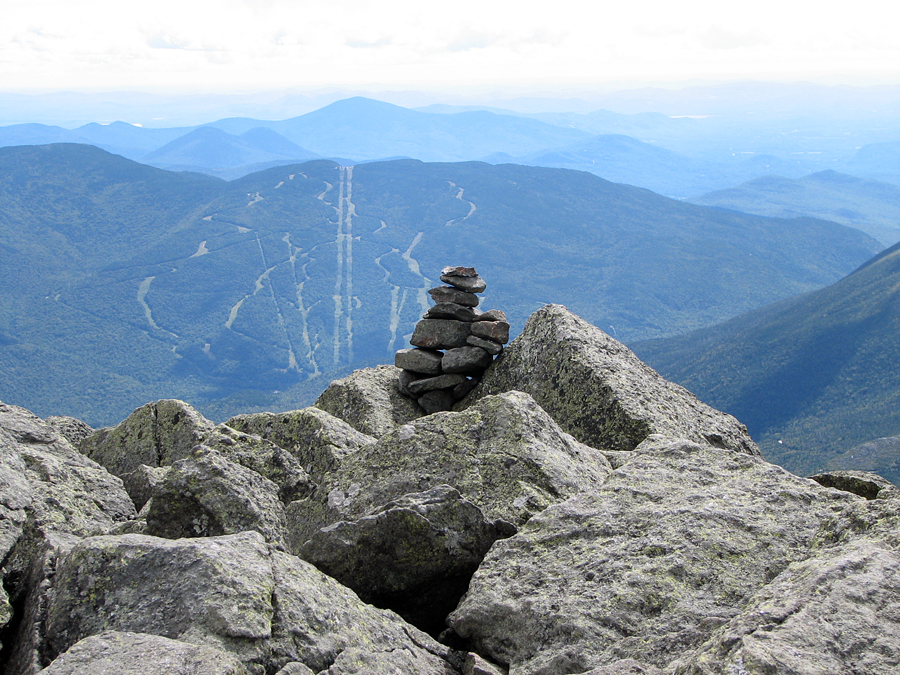
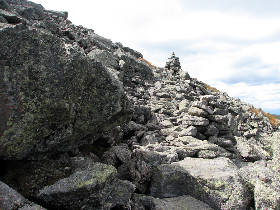
Since I basically had all day to complete my hike, I didn't try to hurry along, but took my time enjoying the views and the flora along the trail, including the ubiquitous bunchberry. As usual, the cairn at Thunderstorm Junction was a marvel of well-stacked rocks, although I swear it didn't seem quite as high as I remembered it on my last trip up this way in 2005 with Muffin. Here, I turned onto Lowe's Path to complete my ascent to Mt Adams, but stopped a short distance up the trail to take a couple of pictures, one of Mt Sam Adams, the other of the Gulfside disappearing around a bend on its way to Edmand's Col.
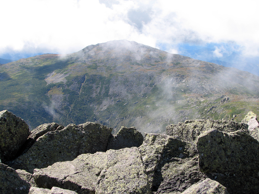
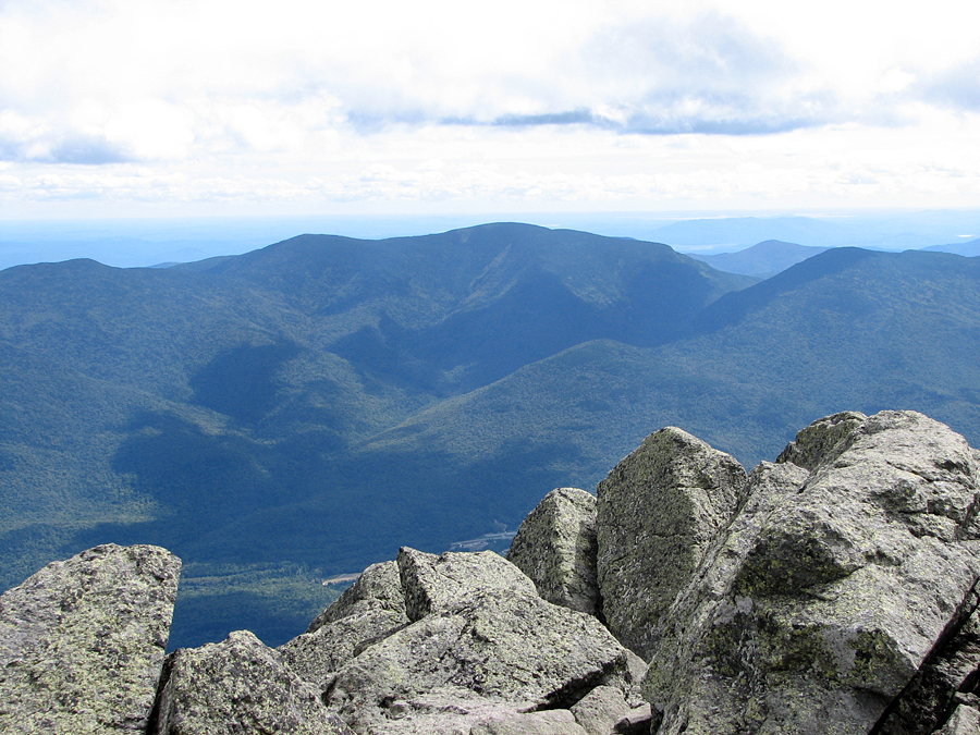
The rest of the climb was uneventful. At the summit, whisps of clouds were still drifting by, but that didn't stop me from getting some great photos of the Mt Adams summit rocks, Mt Jefferson, Jefferson Ravine, the Wildcat Ski Area and the Carter Range across Pinkham Notch, and Mt Abigail Adams, which until recently had been known simply as Adams 4. Like Mt Madison, Mt Adams was also quite windy but perhaps not quite as chilly since the morning was wearing on and the sun higher in the sky.
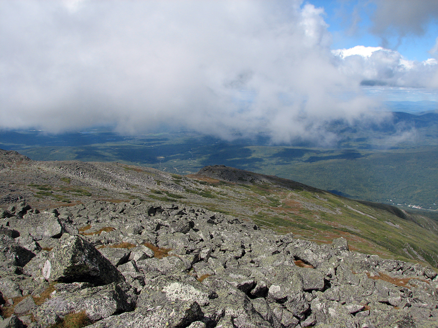
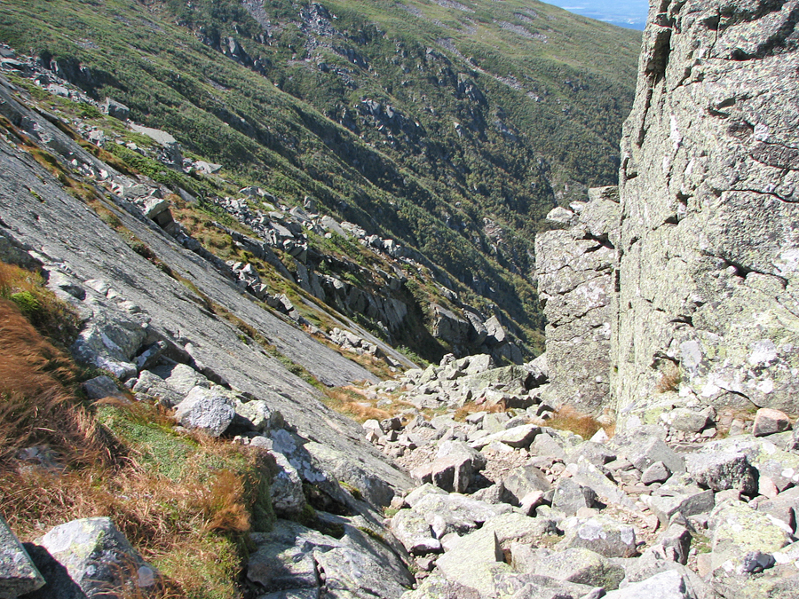
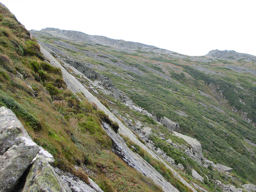
On my way back to Madison Springs Hut, I took a slight detour a very short distance down the King Ravine Trail, partially in memory of my climb up that trail with Muffin back in 2003 while on our way to The Perch, and partially because I wanted to get another look down into the depths of the ravine. Looking back, it was actually pretty amazing that Muffin made it up the King Ravine Trai. I remember having to lift her up some of the ledges going up, but she also managed quite a bit of it on her own. She was definitely a real climber.
After leaving the King Ravine Trail, I decided to hike down the Airline a little ways to the Airline Cutoff, a trail that provides a shortcut back to the Valley Way near Madison Springs Hut. |
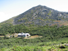
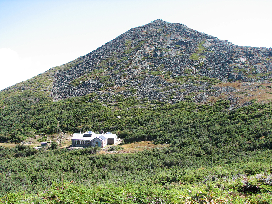
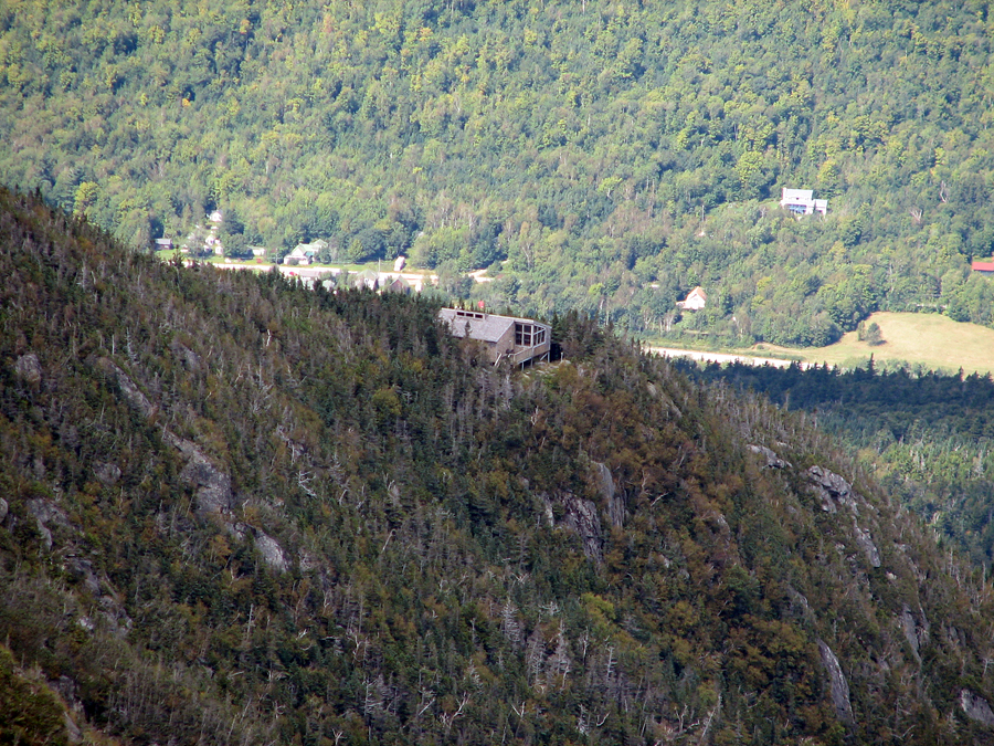
Mt Madison and Madison Springs Hut from a viewpoint on the Gulfside Trail |
 |