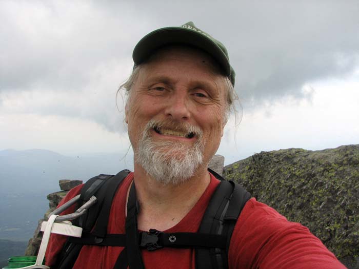
|
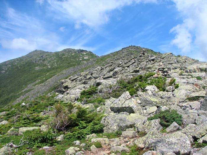
Without losing any time, we started
trudging up the long rocky ridge. Whenever possible, I tried to
choose a path that was fairly smooth and easy on Muffin's feet.
Unfortunately, the rocks on Osgood Ridge seemed to be a bit sharper
than those on the northern slopes of Mt Madison.
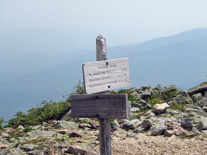
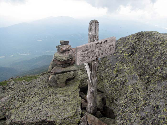
By the time we reached Osgood
Junction, I was having serious doubts about returning by the
Daniel Webster Scout Trail, which begins there and ends at the
Dolly Copp Campground. Peering over the edge of the precipice, the
trail stretched endlessly down over a very rough rocky path, a
good deal of it above treeline. It seemed to me that the Valley
Way would be a lot easier on Muffin's paws.
As we wound
our way still higher, the surface of the rocks grew even sharper,
not unlike the barnacle-encrusted rocks along the Maine shoreline,
which cut mercilessly into bare feet. I was now sure that we would
be taking the Valley Way back down.
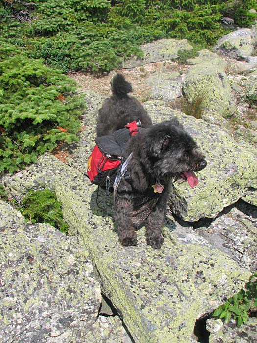
Finally, we mounted a final steep pitch
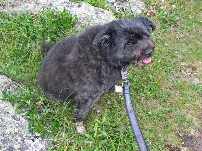
and arrived at the summit of Mt Madison. Muffin immediately lay down
in the shade of a large sheltering rock formation. She looked happy,
but I could tell her feet were sore. I've tried getting her dog
booties several times in the past, but she always manages to lose
them along the trail, no matter how securely I try to attach them.
Sometimes I think she pulls them off when I'm not looking.
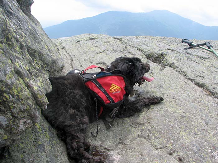
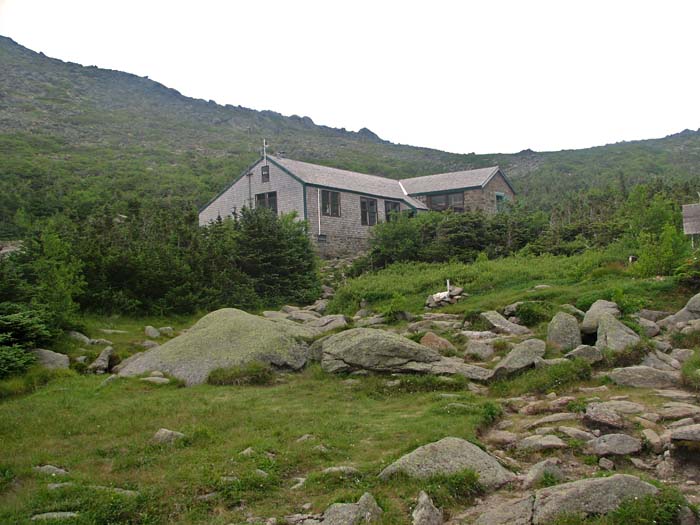
It was a long painstaking descent to the
hut. Muffin was moving very slowly, and I had to lift her down a few
steep sections and carry her across several large gaps between the
boulders. Once we reached the hut, I tied her up in the shade and
left her with some food and water while I went inside to refill my
water bottles and buy a t-shirt. When I came back out, I got the
first aid kit from my pack and wrapped her feet in gauze and medical
tape. While I was doing this, someone stopped by to pat Muffin on
the head. They mentioned that another dog had come down from Mt
Madison a short time before with the exact same problem.
When it was time to head down, Muffin
wasn't quite sure what to think of her taped feet, and seemed
reluctant to get up. But once she started walking again, she was
able to move a lot faster and didn't seem to be in any pain any
more.
By the time we reached the side path to
the Valley Way Tentsite, the tape on her feet had started to wear
out. To the solve this new problem, I got an extra pair of socks out
of my pack, cut them up, and used some more first aid tape to wrap
them around Muffin's paws. This worked even better than the tape
alone, and she trotted happily along behind me the rest of the way.
After this trip, I decided that Muffin
would not be climbing Mt Madison any more, and that perhaps dog
booties might stay on her feet better if I taped them on. |
Osgood Ridge.
The final bump on the ridge is Mt Madison, but there are still a
number of ups and downs to go. |
 |