|
In addition to a self-portrait and a shot of
the summit rocks taken from my semi-sheltered spot, I was able to get
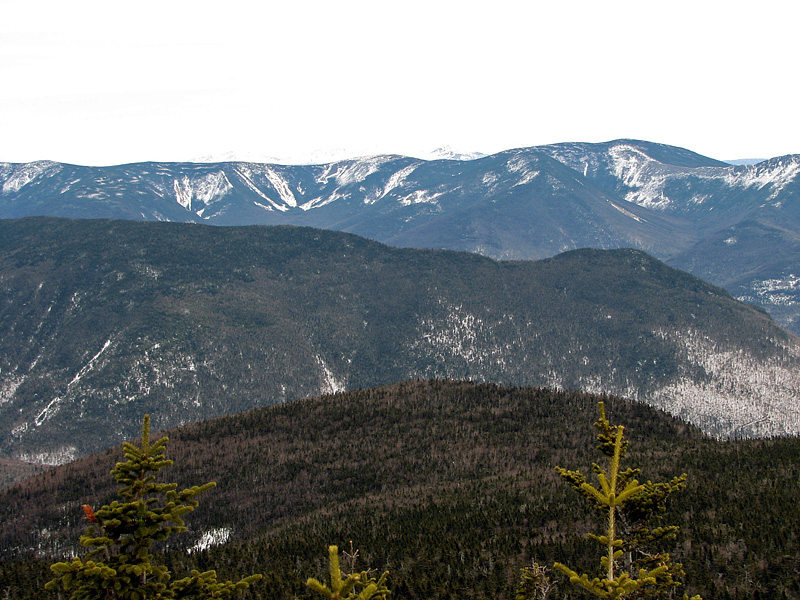
some good views of the surrounding mountains, which as usual, were much
better in person than my photos reveal. To the north, Franconia Ridge
stretched up the ridge to Little Haystack, although I couldn't really
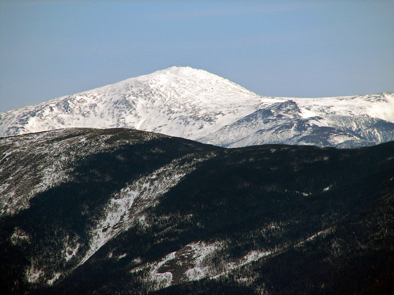
see Mts Lincoln and Lafayette beyond. To the east, there was Owl's Head,
the Bonds, the expanse of the Pemigewasset Wilderness, and in the
distance, Mt Washington, which only photographed well with my zoom lens
set as high as it would go.
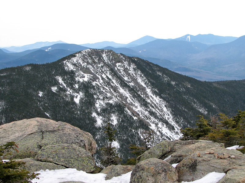
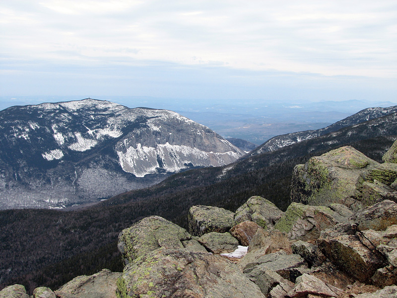
To the southeast stood nearby Mt Flume and
its numerous rock slides, all the more apparent when outlined in snow.
To the northwest, Cannon and its famous cliffs overlooked the north exit
of Franconia Notch. And
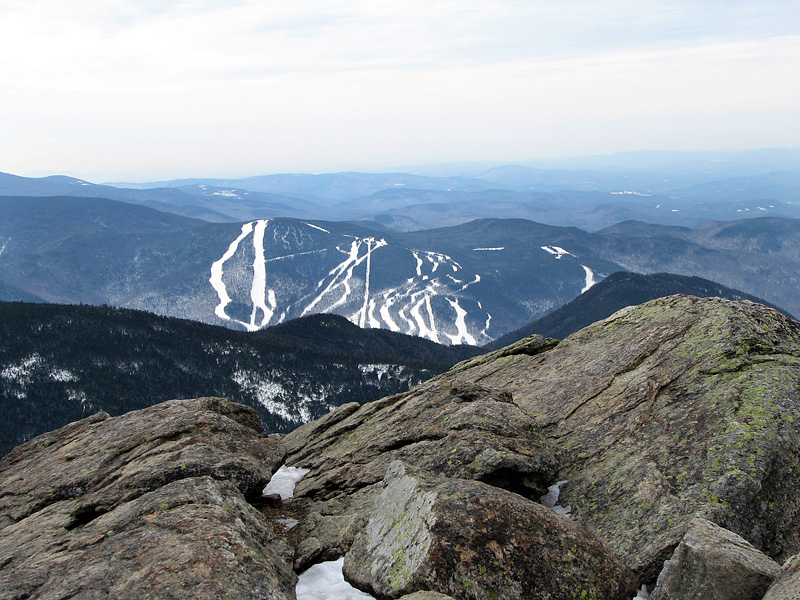
finally, the ski slopes of Loon Mountain stood out starkly from an
otherwise dark and hazy southern landscape.
By this time, even the new batteries were
beginning to lose power in the icy wind. In good weather, Mt Liberty's
ledges overlooking Franconia Notch are a nice (and popular) place to
relax and enjoy watching the ants driving their tiny cars up and down
I-93. But on this day, I was only anxious to get back down below
treeline where the air was balmy by comparison.
The hike down was uneventful except that
when I got near the bottom, I thought I'd try taking the shortcut
mentioned in
Mohamed Ellozy's Peakbagging website. This shortcut involves
following an old abandoned logging road once used by the former F. W.
Whitehouse Mill. This road, which is somewhat overgrown with young trees
but still apparent, leaves the Liberty Spring Trail at its sharp right
turn (sharp left going down) about a hundred feet below its junction
with the Flume Slide Trail.
This worked out well, and got me to the bike
path much closer to the Basin's parking lot. As Mohamed mentions on his
website, the lower end of the trail is not at all obvious from the bike
path but, going down, it's no problem because you can see the bike path
from where the trail's corridor peters out in a wet area. And in the
winter, due to its popularity, chances are that someone else will have
already snowshoed out a packed path to mark the way. |
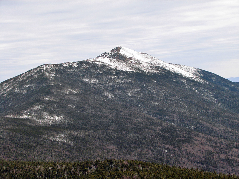
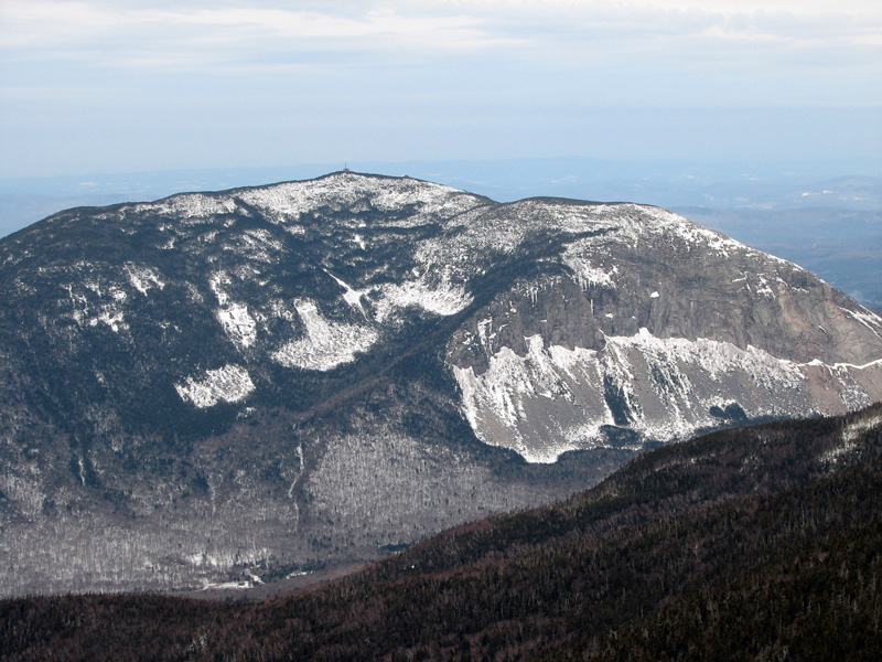
Little Haystack
Mtn. From Mt Liberty. The Franconia Ridge Trail winds it way to the
north, first to Little Haystack and then on to Mts Lincoln and
Lafayette. |
 |