|
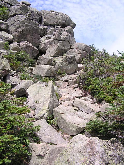
The
trail to the north begins gently enough, swinging slightly downhill
and
following the slight curve of the narrow ridge. Along the way,
it then climbs up, over, and around a number of minor crags, some of
them a bit steep, and all of them rocky and rough.
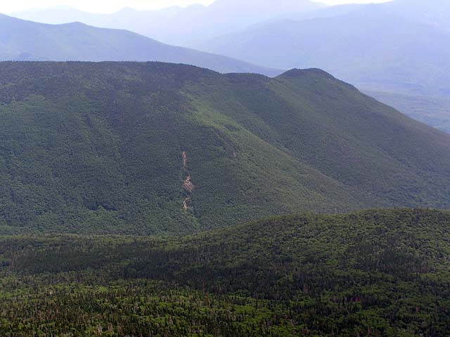
As
we made our way further north, I could look directly down at Owl's
Head and the Lincoln Brook Valley to the east. Near the brook, a tiny beaver
swamp appeared as a dull patch of brown amidst the thick green of the
forests.
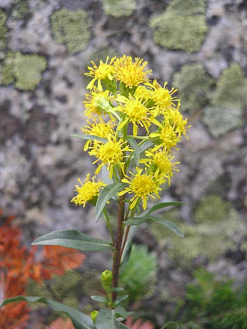
A
little further along, I stopped to take a picture of some mountain
goldenrod flowers. Even though it was early August and the proliferation
of June flowers had long since ebbed, there were still a number of interesting
wildflowers blooming in the heights.
As
the trail neared Mt Lincoln, it climbed a fairly steep and rough
crag. The summit of Mt Lincoln itself was fairly crowded, so we didn't
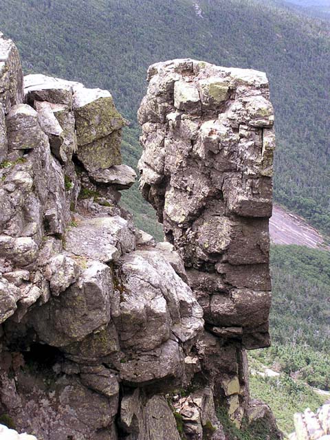
stop for a rest. Along the west-facing ledges of Mt Lincoln, a
top-heavy looking rock formation appeared ready to tumble into
Walker Ravine during the next big storm.
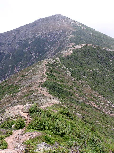
Soon,
the final stretch of the trail to Mt Lafayette loomed ahead. As
luck would have it, the fog had now cleared, and I hoped that
it would stay that way, at least until we managed to get there. The summits
of the higher peaks in the White Mountains are in the fog so often,
you simply can't count on views. Even on seemingly perfect days,
wisps of fog can blow in and enshroud the summits in a matter
of minutes. |
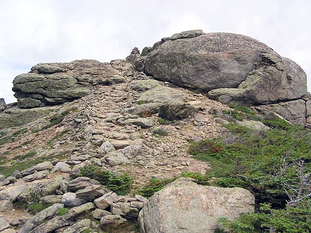
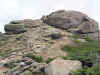
Franconia
Ridge Trail. Here, the trail winds up and over a minor crag between
Little Haystack and Lincoln. |
|