|
Not
long after leaving Shining Rock, I arrived at a sign that
announced the start of the Alpine
Zone, so I knew I was beginning to get close to the ridge. Then
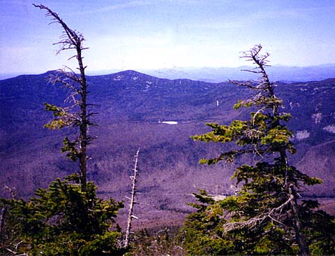
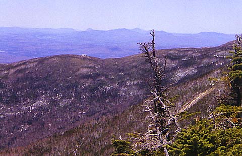
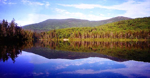
finally, after the last
switchback, I began to see glimpses of the views west toward
Cannon and Kinsmans on the other side of Franconia Notch. I could
also see Lonesome
Lake far below, and the Green Mountains in the distance.
Across
the wide expanse of Walker Ravine was the ridge rising up to Mt Lafayette. I'd be coming
down that way later this afternoon on the Old Bridle Path. I
could see Greenleaf Hut
sitting on a small knob on the ridge at the base of the summit
cone. The air was so clear that I
could even see the Laurentians in Quebec far to the north.
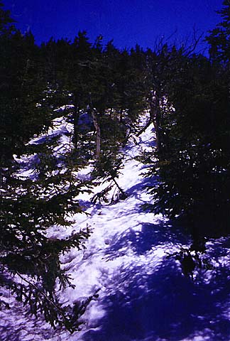
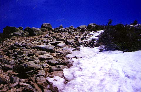
In
less time than I had expected, I started to break out of the scrub,
and I knew I was almost there. The snow had melted into patches, and
was soon entirely absent. I was excited to be up on top of Franconia
Ridge. |
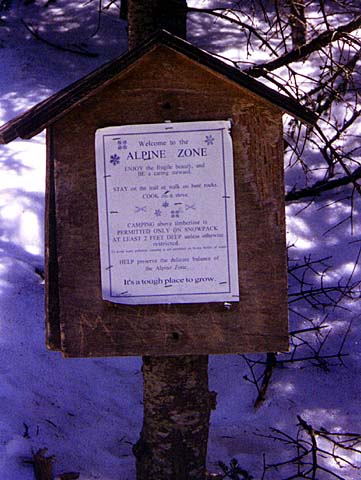
Alpine
Zone sign. These signs warn hikers about staying on the trail
in the fragile alpine zone. |

|