|
Although I found climbing up the Mt Kinsman Trail to be a far more enjoyable experience than the Lonesome Lake, Fishin' Jimmy, and Kinsman Ridge route, I wanted to stop at Lonesome Lake Hut to get a 2015 tee-shirt. I had also forgotten just how rough and arduous the Fishin' Jimmy Trail was.
Thus, Patches and I parked at the Lonesome Lake Trailhead by Lafayette Campground and started up the trail around 7:15 AM on the Thursday morning before a long 4th of July weekend. The weather didn't look too promising; all the higher peaks were shrouded in fog, but the forecast promised clearing skies, so I was hoping for the best. The campground was packed but nearly silent. The sweet smokey odor of campfires hung over the notch, but few were stirring this early.
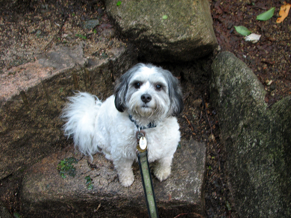
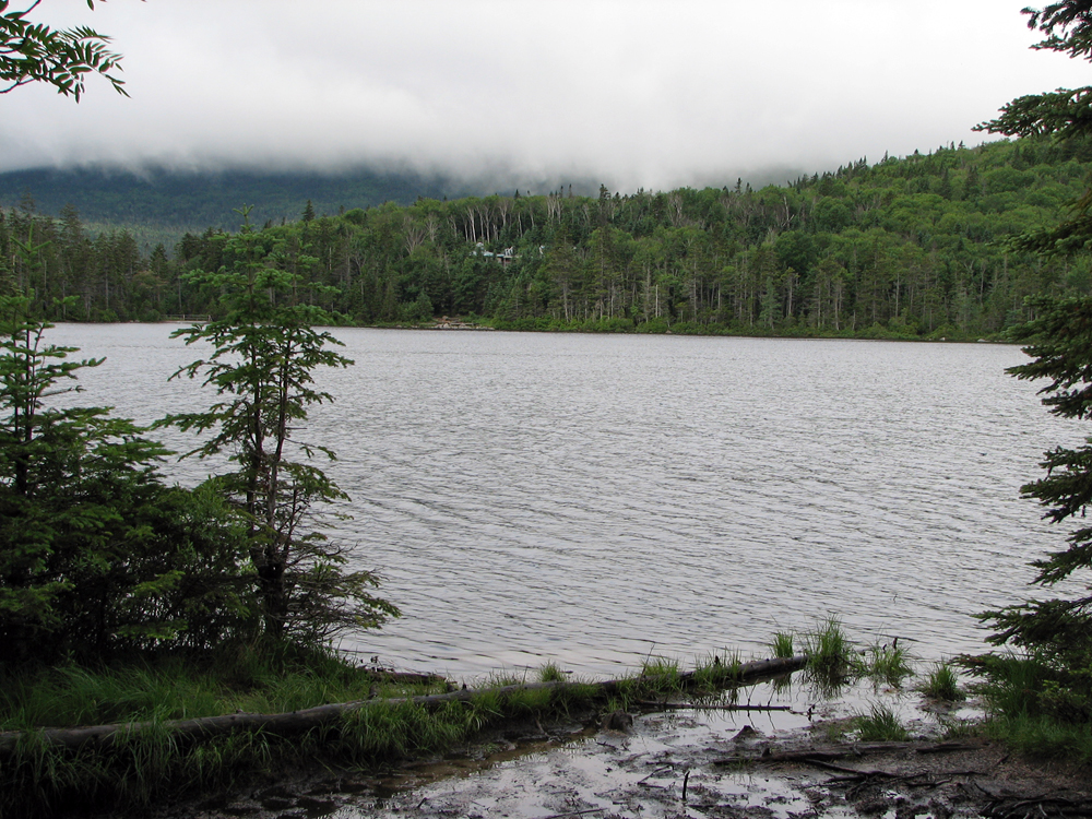
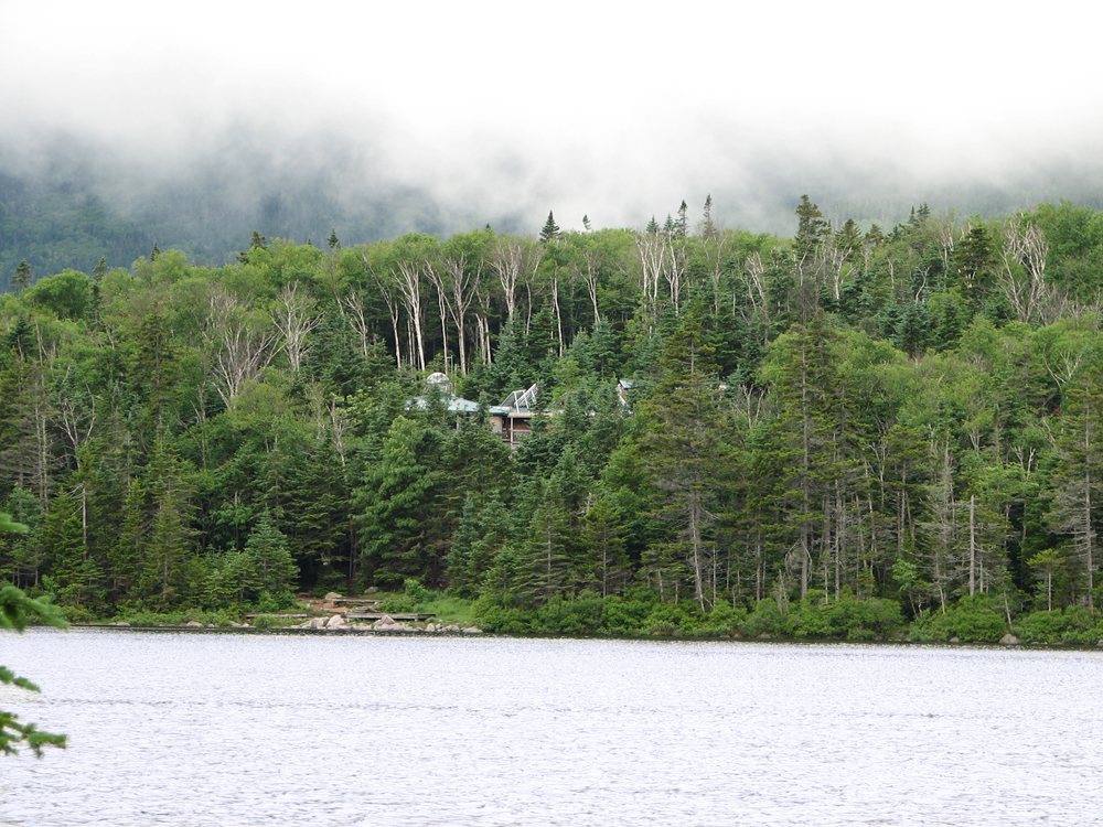
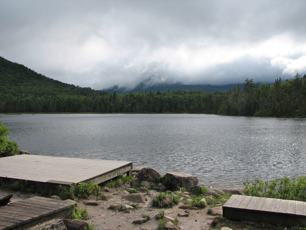
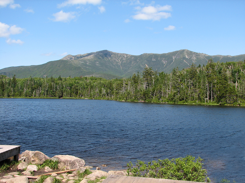
The hike up the Lonesome Lake Trail, the first trail I had ever climbed in the White Mountains, was nostalgic and seemed a much easier climb than it had so many years ago, and before long we were at the shores of Lonesome Lake looking across at the hut. Above, the mountains were still enveloped in fog. After reaching the other side of the Lake, I took a picture of a phantom Franconia Ridge behind the clouds, and then we hiked up to the hut for a short rest, and for me to buy my shirt. Actually, I liked both the coolmax and the cotton versions, so I bought two this time. Patches didn't like being tied up outside but there was nothing I could do. I tried to give her some food, but she snubbed it and I had to cover it back up and stick in back in my pack.
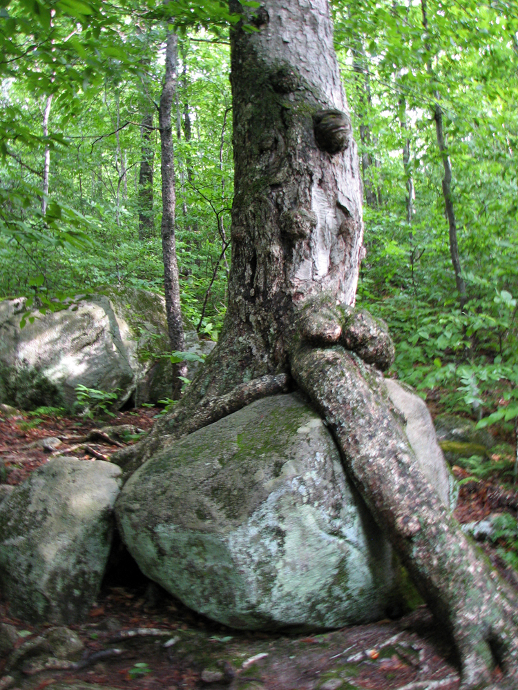
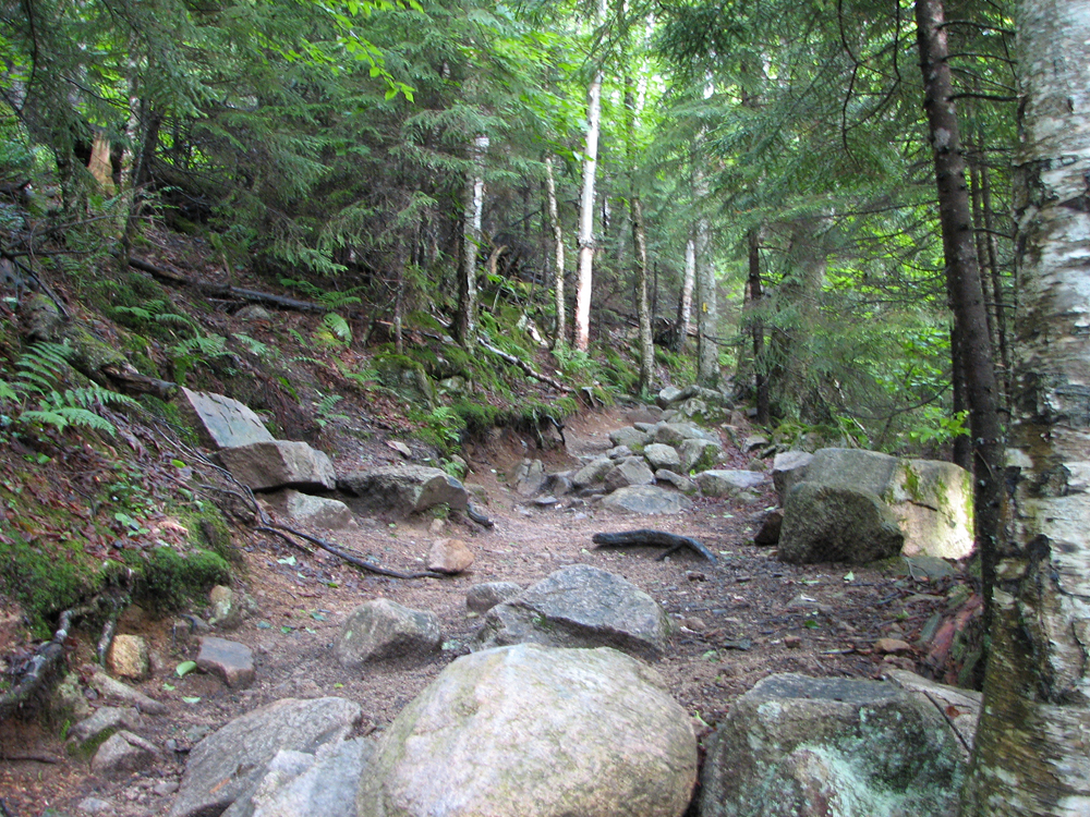
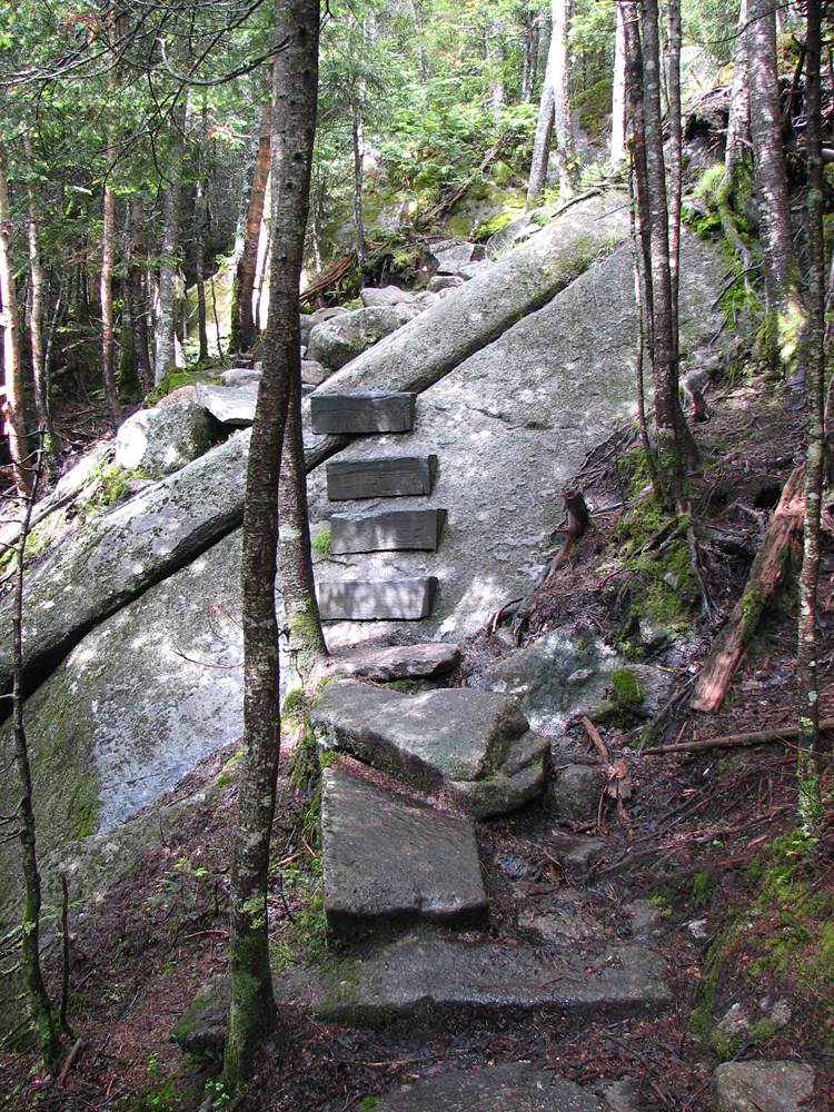
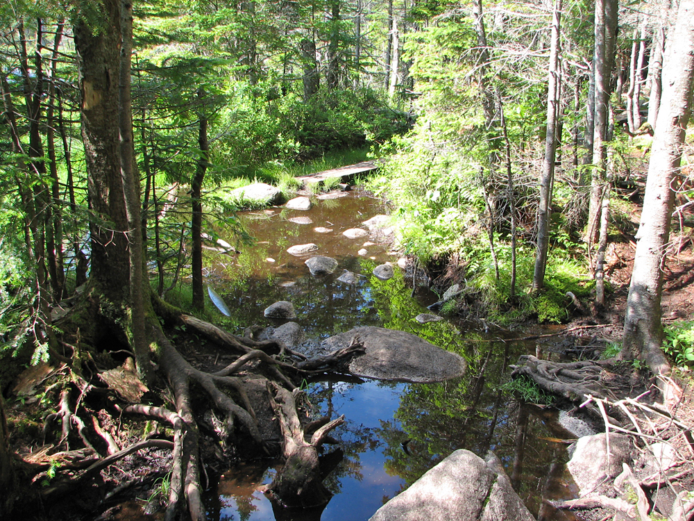
Soon, we were making our way along the Fishin' Jimmy Trail, and soon, I remembered just why I had such an aversion to this trail. Not only is it rough, rocky, and rooty, but it descends quite a ways before beginning its climb up to Kinsman Ridge. The areas with pinned steps and smooth ledges were actually the best part. It was the constant slow progress picking our way up, over, and around damp rocks and boulders that proved so tiring.
We finally made it to Kinsman Junction, where the Fishin' Jimmy Trail meets the Kinsman Ridge Trail and the short spur path to the Kinsman Pond Shelter. We walked over to the shelter and tent sites, but didn't linger by the Pond. I was more interested in pushing on to the summit of North Kinsman, especially considering that, from there, we still had to continue on to South Kinsman, and then retrace our route all the way back again. There's no other practical route back from South Kinsman.
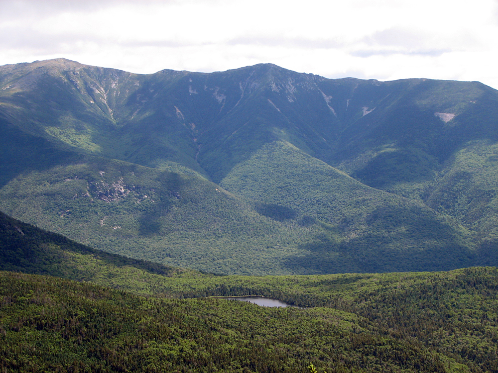
It was quite a busy day at North Kinsman. A large college-age youth group had just arrived from the south, and pretty much took up all the space on the nice open ledges that look out to Franconia Ridge. We managed to find a spot just below them where I could get a picture of Patches without having any of them in the shot. Still, we had to climb back up to where they were sitting to get a good view out to Mts Lafayette and Lincoln. The fog had finally lifted, so the view was well worth it. Down below, the waters of Lonesome Lake gleamed in the late morning sun.
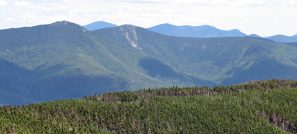
After a rest and a snack, we continued south along the Kinsman Ridge Trail to South Kinsman, almost a mile further along the ridge. South Kinsman is much more open than North Kinsman, so the views were great in all directions. As we were now closer to the southern half of Franconia Ridge, I was able to get much better pictures of Mts Liberty and Flume. The best part about our stay at the summit of South Kinsman were the lack of crowds; in fact, we didn't see anyone else at all while we were there.
Finally, we had to face the music and head back, once again crossing North Kinsman, and then making our way along the dreaded Fishin' Jimmy Trail. Of course, we eventually made it back to Lonesome Lake Hut, and from there, the rest of the trip was a breeze down to the car. |
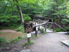
Trailhead. The Lonesome Lake Trail begins at a footbridge that crosses the Pemigewasset River at Franconia Notch's Lafayette Campground. |
 |