|
After leaving Bald Peak, the path
began to get a bit steeper but was, in general, well-graded and
even compared to the Fishin' Jimmy Trail, which has numerous
tiresome ups and downs in its approach from Lonesome Lake.
Between the excellent weather and condition of the trail, it
was, all-in-all, a very pleasant climb that seemed to go more
quickly than I had expected.
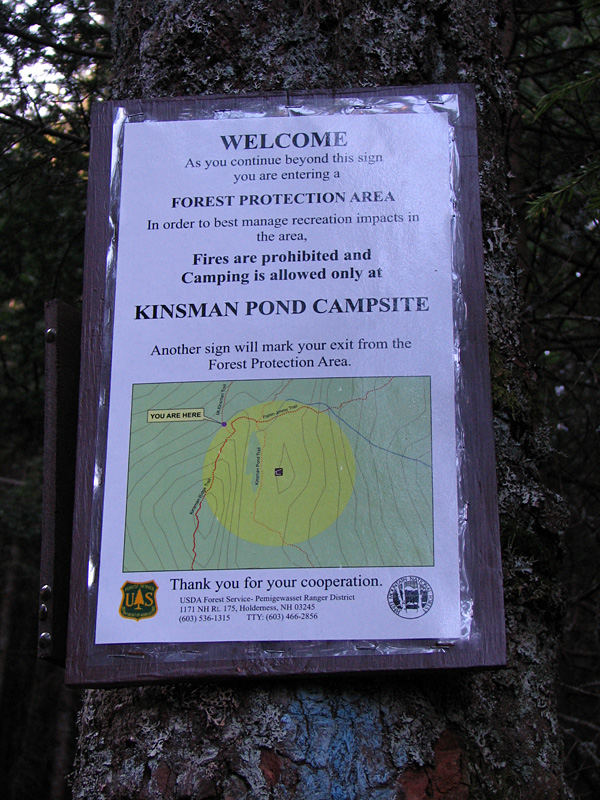
As I neared the Kinsman Ridge Trail, I
passed the border of the Forest Protection Area that surrounds
the Kinsman Pond Campsite for a quarter mile. What was
interesting, though, was the sign itself, which featured a "You
are here" map of the local surroundings, with the Forest
Protection Area highlighted in yellow. I'd never seen anything
this detailed in the White Mountains before. If you weren't
quite sure where you were or were looking for shelter in bad
weather, the map could prove quite useful.
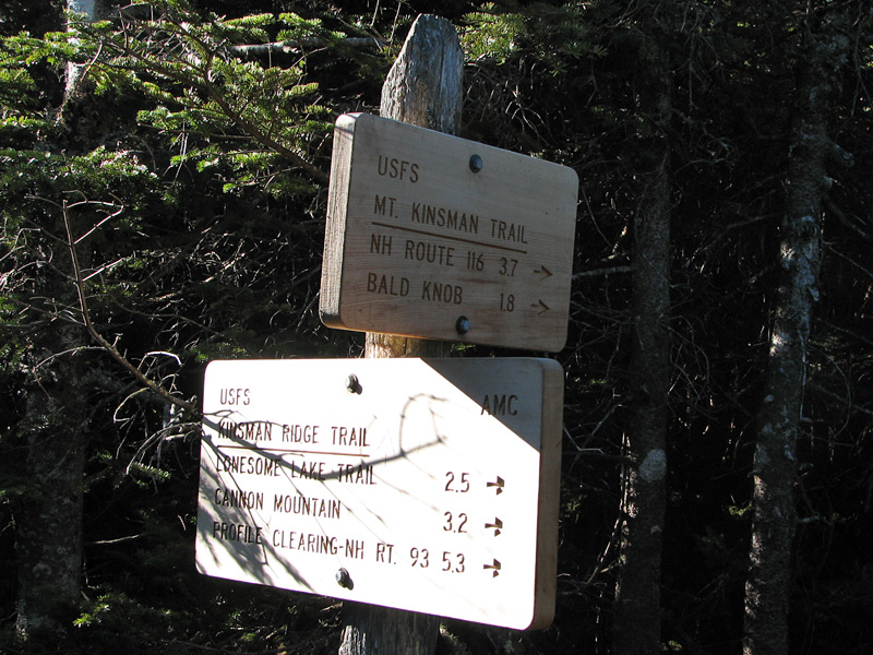
From the sign, it was only a short
climb to the Kinsman Ridge Trail, which quickly grew very steep
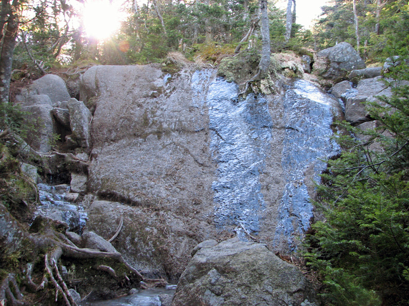
as it ascended the north face of Kinsman. The steepest portion
was a sheer, wet ledge that required foot and handholds to
ascend. Luckily, the best climbing route was also the driest
area of the ledge.
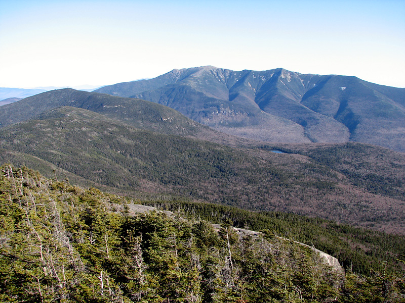
After reaching the summit of North
Kinsman in the trees, I dropped down a side trail to the ledges
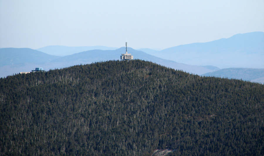
that overlook Franconia Ridge and Cannon Mountain. I didn't
climb all the way down to the ledges that loom directly over
Kinsman Pond, as I figured they might be wet and slippery, but I
had been there before so wasn't too disappointed..
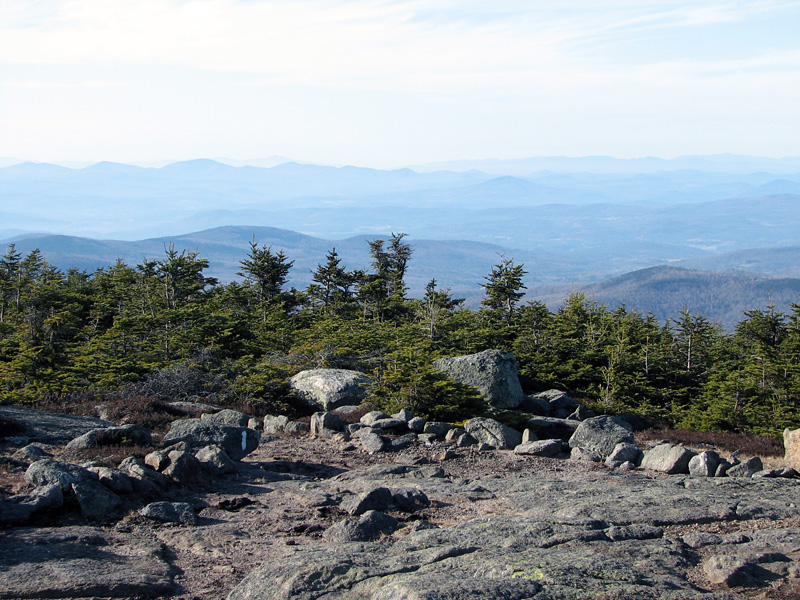
After eating lunch and resting on
the ledges for while, I continued on to South Kinsman. Most of
the hike is in a deep col between the peaks, but the actual
climb up to South Kinsman is fairly gentle. The South Kinsman
summit cone is much more rounded than its northern neighbor, and
also has a more bare and open summit area. The views east to
Franconia Ridge were still excellent, as were the southern views
toward Moosilauke and the Sandwich Range.
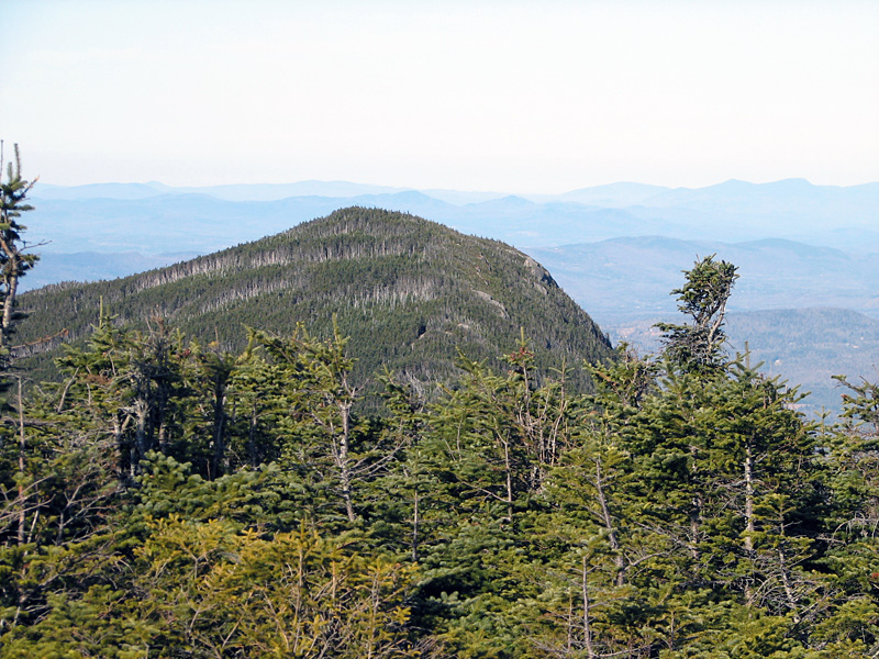
The view in the opposite direction
gave an interesting perspective of North Kinsman, one that isn't
obvious from any other location. From the south, the North
Kinsman summit cone seems rather small, and I got a sense of how
its eastern face is so neatly cut off to form the cliffs that
overlook Kinsman Pond.
By this time, I was getting tired,
so I moved a bit slower on the climb back up North Kinsman, but
after reaching the Mt Kinsman Trail again, I began to make good
time navigating the well-graded trail back to my car. This was a
route that I would definitely consider climbing again. |