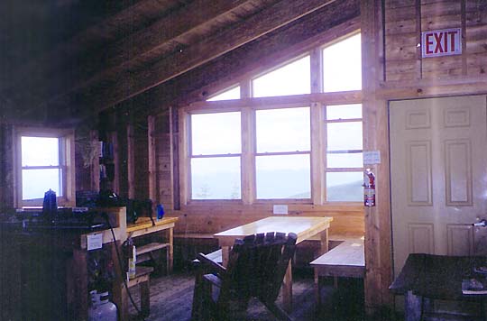
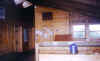
Though I had been in the neighborhood several times, I never seen Crag Camp up close. It was very comfortable inside with a large kitchen and dining area, several bunkrooms, and windows that looked out on a magnificent panorama of King Ravine. I wouldn't mind staying there sometime. I was tempted to just stop there for the night and enjoy the views, but Mt Bondcliff was calling me, and I didn't know how long the good weather was going to last.
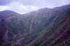
Just outside the cabin was a great overlook, and sheer drop, into King Ravine. It was nice to see the ravine from a totally different perspective. It's almost hard to believe that anyone could climb it without technical gear.
Finally, it was time to head down. We descended the very rocky and steep Spur Trail, which connects Crag Camp to the Randolph Path near its junction with the King Ravine Trail. About 9/10 of a mile and 800 feet below Crag Camp, near the junction with the Hincks Trail, we came upon the spot where Jenny had broken her axe.
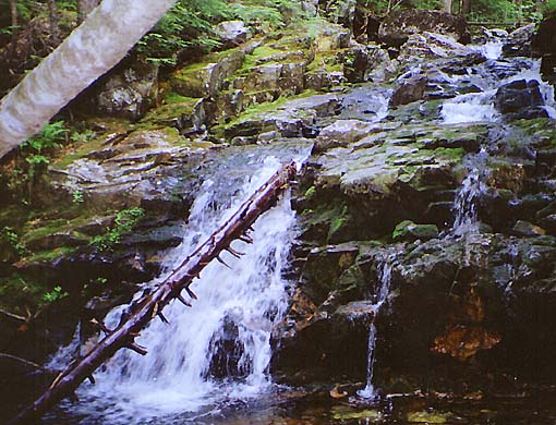
We continued down the Spur Trail and Randolph Path, passing through an intersection known as the Pentadoi, where several trails come together. Then, when we were almost back at Appalachia, it was late in the afternoon, and I decided to look for a campsite along the Fallsway Trail. I didn't want to drive all the way to the Wilderness Trail that night and then hike a couple of hours more before setting up camp on the Bondcliff Trail, nor did I want to have to sleep in the car or return to civilization just yet, so camping near Snyder Brook seemed like a great alternative. That way, it would only take a few minutes to reach the car in the morning.
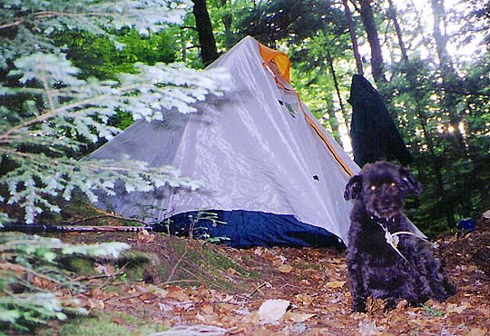
I found a good spot near Gordon Falls, made supper, then relaxed and read in the tent until I fell asleep. I like hiking and climbing, but it was also nice to get some extra rest, so I didn't mind falling asleep early and getting up late. I rush enough at home and work most of the year.
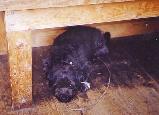
The next morning, we awoke at a respectable hour (i.e., neither very early nor very late), took down camp, then hiked the 2/10 of a mile back to the car. I drove to nearby Gorham first and picked up breakfast at McDonald's. Muffin ate a Sausage McMuffin®, which made her happy, then we turned south toward Lincoln and the Wilderness Trail to begin our climb of Mt Bondcliff. |
Inside Crag Camp. The kitchen area is at the front right. The doors in the hallway at the left lead to bunkrooms. |
|