|
The
further along we went, the larger the boulders got, and the slower
our progress was. I figured that after we reached the intersection
with the Subway, the going would get easier, since we would bypass
the crawling by choosing the alternate Elevated route. But even
though we didn't have to go under the boulders, it was still tough
traveling. We had to leap across some rather substantial crevices
between the rocks. And though we pretty much followed the painted
blazes, there really was no one good route through this giant
obstacle course.
After
a while, the Subway emerged from the depths to rejoin our trail.
A short distance later, the Ice Caves Loop branched off to the
right as we curved around to the left. By the time the two routes
merged again and we reached the beginning of the headwall, I wondered
whether we had really chosen the easier path.
As
we rested on the rocks and ate an early lunch, an older couple
came out of the Ice Caves Loop. We said hello, then they continued
on toward the Chemin des Dames Trail, which rises up the steep
east side of the ravine to join the Airline Trail.
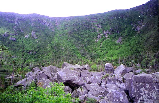
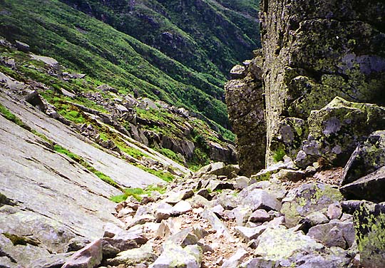
The
headwall of King Ravine is unrelentingly steep; the trail climbs
1100 feet in about half a mile. Much of the climb was a serious
scramble up large boulders and ledges, and most of the way, I
had to lift Muffin up over my head to the next ledge, then climb
up after her. The footing was often precarious, and in some places,
I was only able to lift her up to a tiny foothold, where she balanced
anxiously until I climbed up around her and hoisted her up to
a more secure spot. We repeated this scene countless times, gaining
precious few feet of elevation as the time raced by.
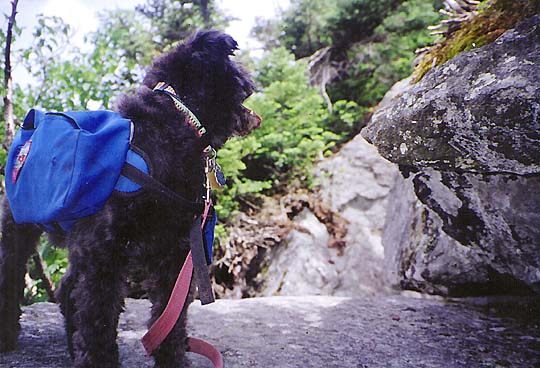
It
was hard to guess where the trail would lead us, as I saw no decent
route up to the lip of the headwall. As we approached a large
rock outcrop on the left, the rocks underfoot began to get smaller.
Muffin could walk on her own now. Occasionally, several small
chucks of rock dislodged and tumbled down below us. I resolved
to be more careful.
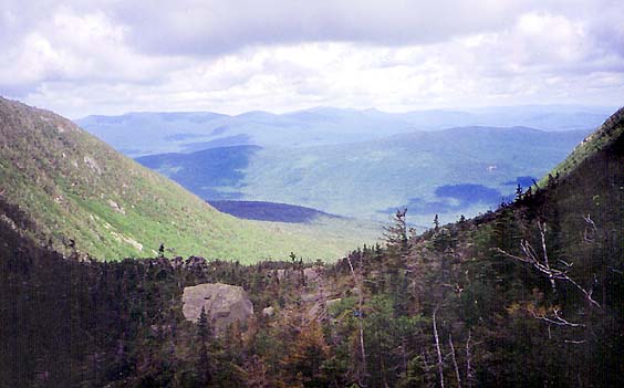
Finally,
we approached an area where a smooth granite slab sloped down
to meet a jumble of rocks at the base of a craggy outcrop. Following
the line of fracture between them, we rounded a corner and emerged
out onto the ridge at the junction of the Airline Trail. |
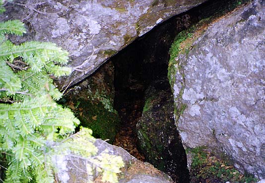
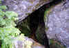
Small
boulder cave in King Ravine. This was not one of those that you
could crawl through or climb down into. Some of these caves have
snow and ice in them all year. |
|