This was not my first choice for a hike this weekend. It was the time of year for my wife's usual Society for Creative Anachronism (SCA) camping event near Hebron, Maine, only an hour from Gorham, NH. I was hoping to take Patches to climb Mt Cabot via the Bunnel Notch Trail, which begins just outside Berlin, NH, a long drive from home but not from Maine. Unfortunately, the event this time was the weekend before our 2-week vacation on Cape Cod, so she elected to attend a different SCA event just north of Troy, NY a couple of weeks earlier. Patches stayed at home with our daughter, Holly (which made Holly happy), and I elected to climb Killington, which wasn't too far of a drive from the SCA event.
As luck would have it, a heat wave was in the forecast for this very weekend (and pretty much lasted throughout the month of July and into August). The daytime termperatures were in the 90s, the humidity was fierce, and there was an air quality alert. Still, I had no intention of giving up on the climb, and anyway, staying at the camping event in the middle of a huge unshaded field wouldn't have been any picnic either. I figured that at least it would be somewhat cooler at 4200+ ft than down in the valley of the Hudson River.
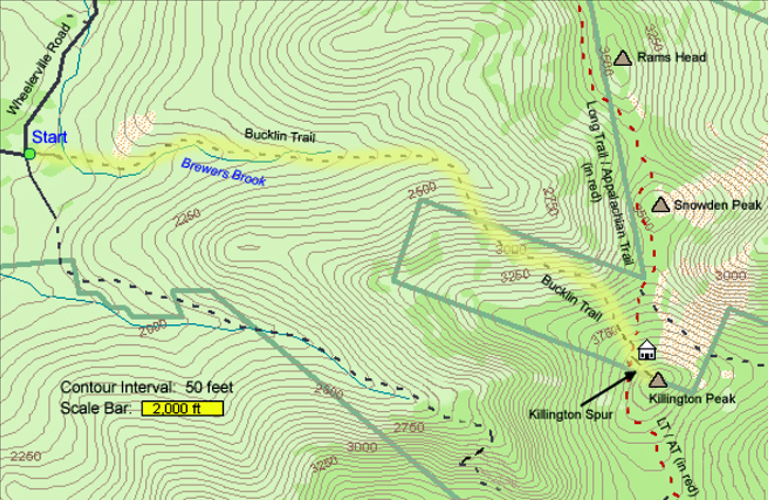
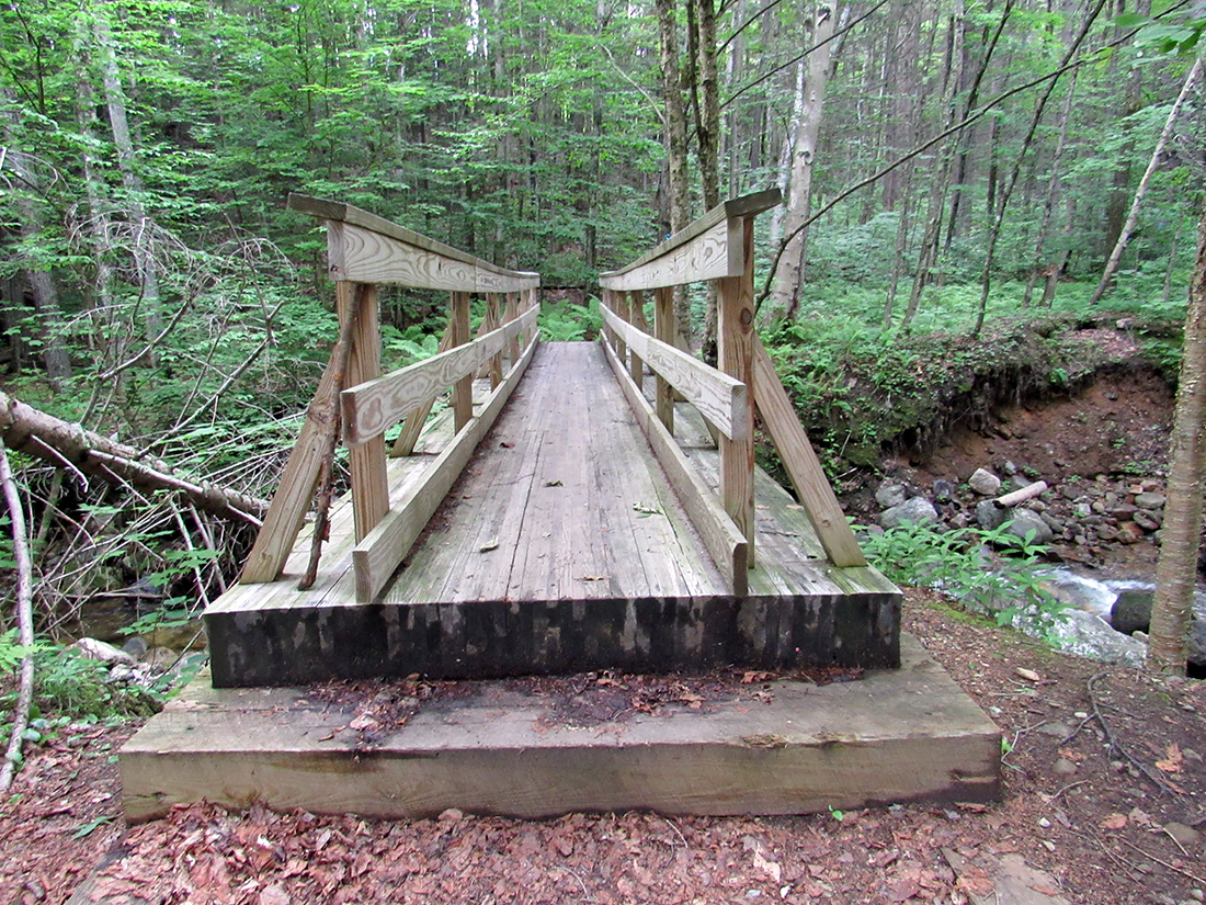
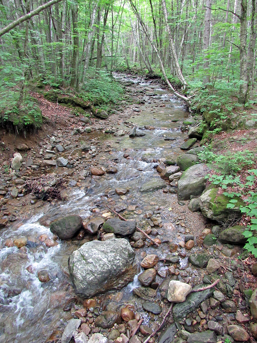
It took about an hour and forty-five minutes to drive from the campground to the trailhead. It was still early in the morning, maybe around 7:00, but it was already starting to get warm. I put on mosquito repellent and headed down the trail. Not far from the parking lot, the trail crossed a footbridge over Brewer's Brook. Right next to the bridge was a sign that read: "Dog Danger: Pico is overpopulated with prickly porcupines." Luckily, I wasn't headed to Pico Peak (which is north of Killington) and Patches wasn't with me. Still, it was the first time I'd ever seen a porcupine warning sign.
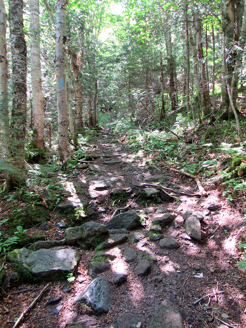
After crossing the bridge, the trail went through an area of minor ups and downs as it crossed a couple of tributarties flowing into Brewer's Brook. After that, it was mostly flat until it turned right and began to climb more steadily. As the morning wore on, the heat and humidity began to get more oppressive, especially now that I was was climbing. But at least I was in the woods where it was shady so the sun wasn't beating directly down on me as I'm sure it was back at the camping event. However, the heat was definitely affecting the air quality. I had to take numerous short breaks just to catch my breath and take drinks of water so I wouldn't get dehydrated.
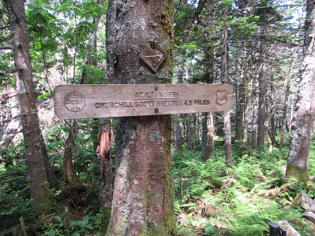
Finally, I reached the junction with the Long Trail / Applachian Trail. The Churchill Scott Shelter and Pico Peak were to the north, while my path turned right toward Cooper Lodge and Killington Peak.
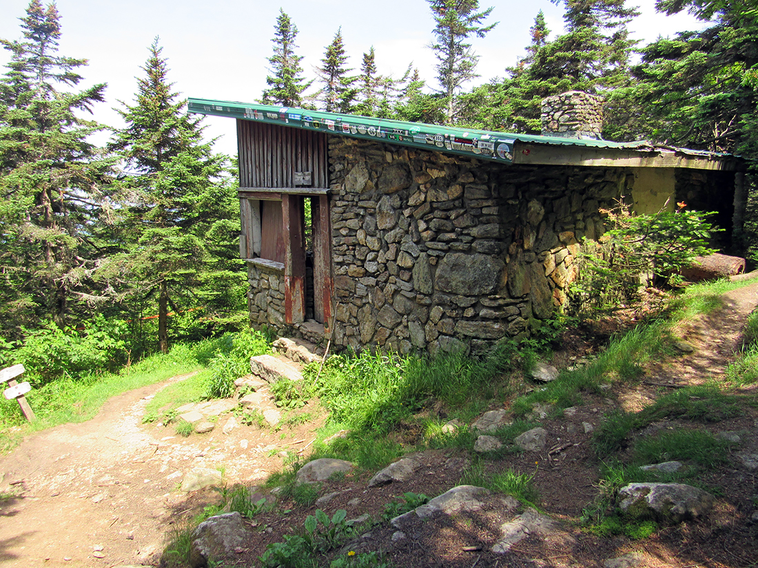
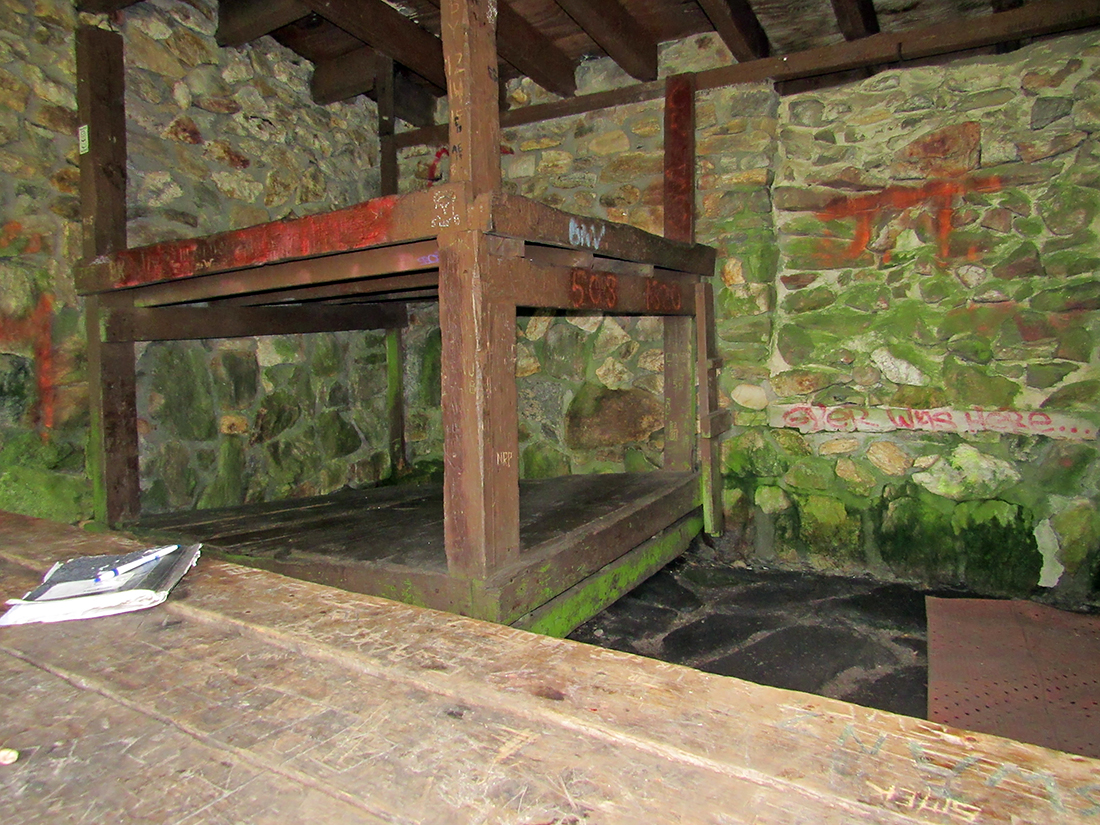
Cooper Lodge, reputedly the worst shelter on the entire length of the Long Trail. When I reached it, I had to agree with this assessment. Dilapidated and ramshackle were two words that came to mind. The outside was in serious need of repair; the windows were missing so that the shelter was basically open to the elements. Of course, an open front is typical of an Adirondack style lean-to, but lean-tos are at least open and airy, with the sun streaming in. Cooper Lodge, however, was dark, dank, and decaying. Tthe wooden bunks inside were in various stages of collapsing, moss was growing on the stone walls, the picnic table inside had seen better days, and the stale damp air and moldy smell were suffocating. The nearby tent platforms were a much better choice, even if one didn't have a tent. Luckily, I was on a day trip and didn't have to contend with overnight accomodations.
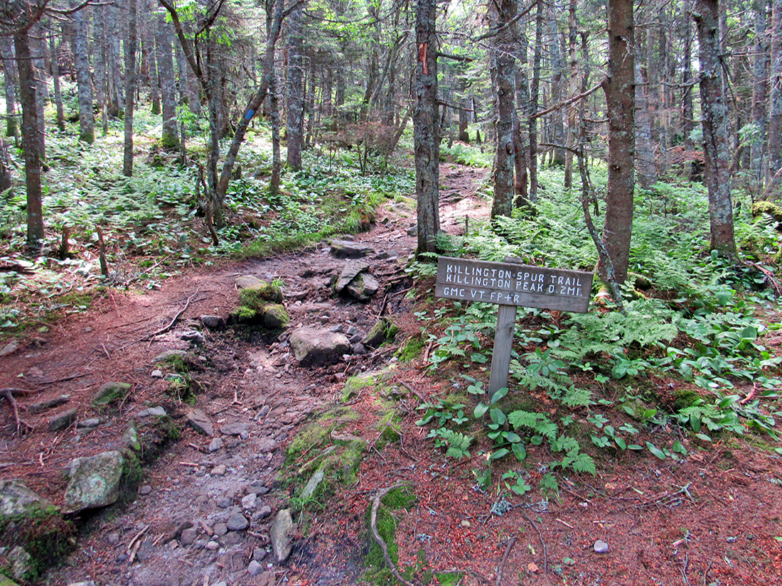
Just beyond Cooper Lodge, the Long Trail / Appalachian Trail turns right to skip the summit, but the Killington Spur Trail continues straight ahead to ascend Killington Peak from the north.
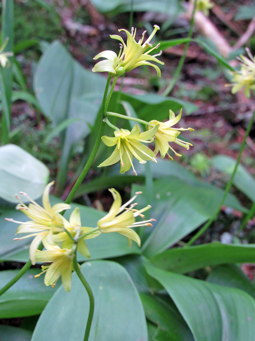
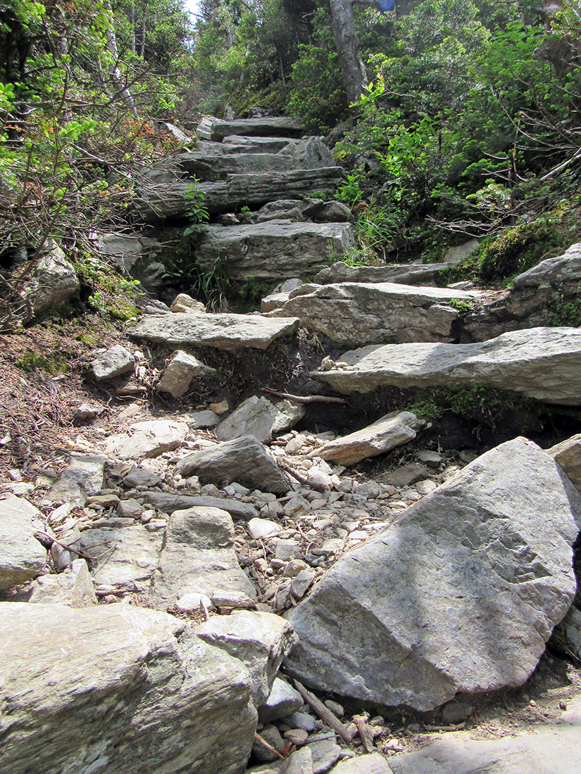
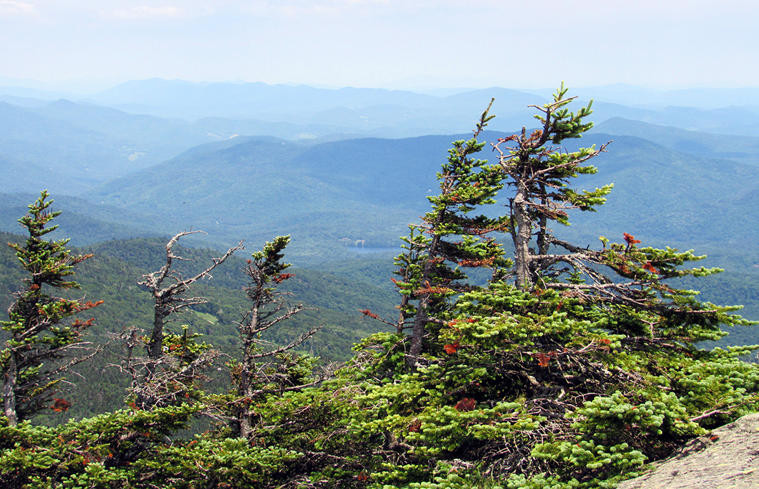
This trail starts off relatively flat, passing through open woods with numerous groups of bunchberries and patches of clintonia, but soon grows quite steep and rocky. It helps to use both hands and feet on the last scramble to the top.
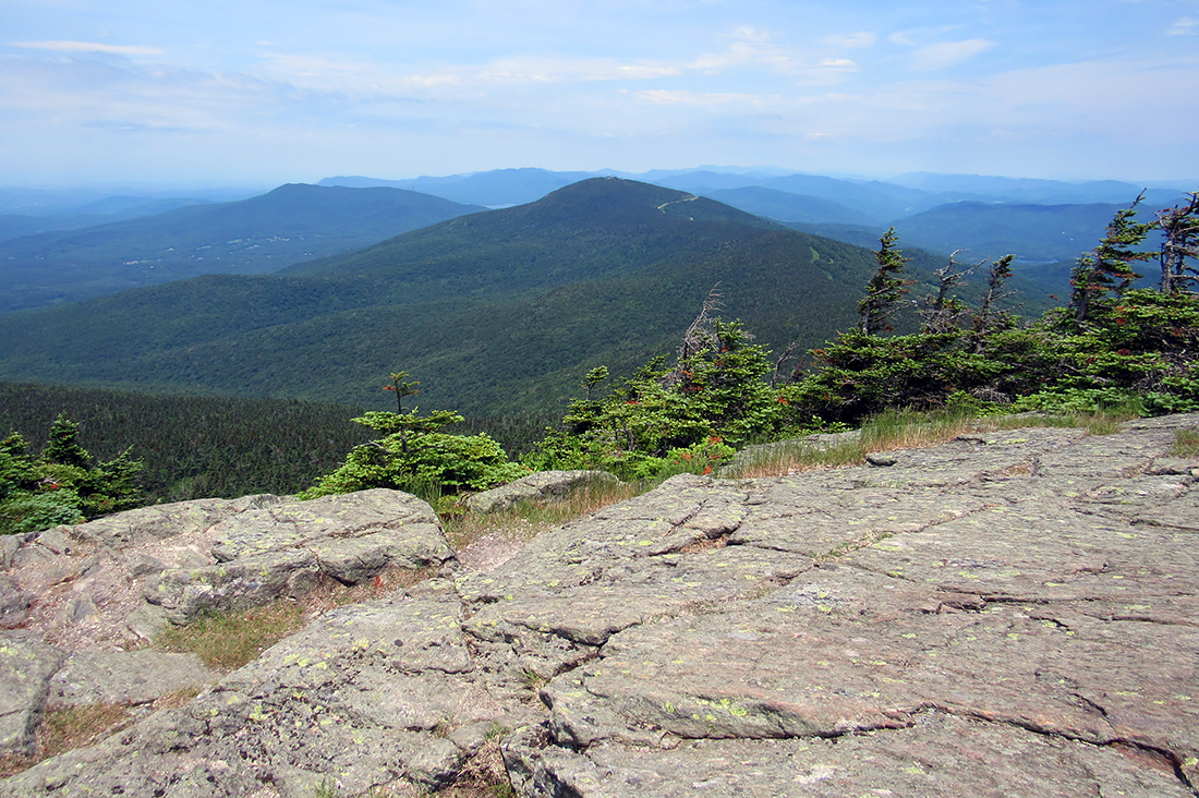
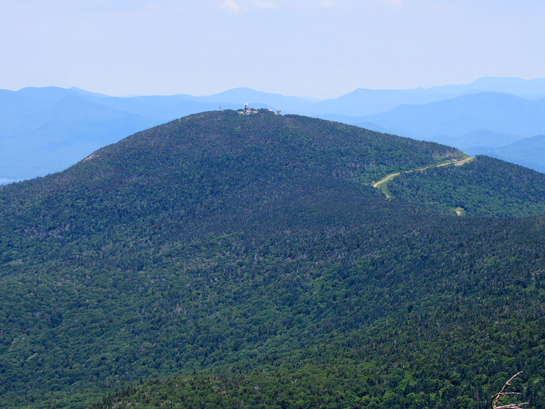
The highest part of the summit area is a large open ledge with good views to the north toward Pico Peak, where try as I might, I could not spot any prickly porcupines through the zoom lens on my camera. However, a meandering road and several ski trails stood out sharply against the otherwise deep green vegetation of Pico Peak. Other peaks in the distance were much hazier in the thick sultry air. Looking to the northwest, the mountain ranges gradually faded into a hazy obscurity until you could barely tell where mountain ended and sky began.
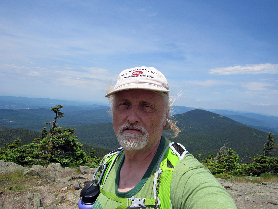
At one point, I was ready to take a self-portrait with Pico Peak behind me, but it wasn't an easy task thanks to a couple of kids who kept running back and forth behind, in front, and around me. Between them and the heat, I was getting a bit irritable by the time I finally managed to take a picture without them or any of their other family members showing up in the shot. After I was semi-successful with my photography skills, I decided to head down to the east side of the summit area where the gondola whisks tourists up to a snack bar and viewing area.
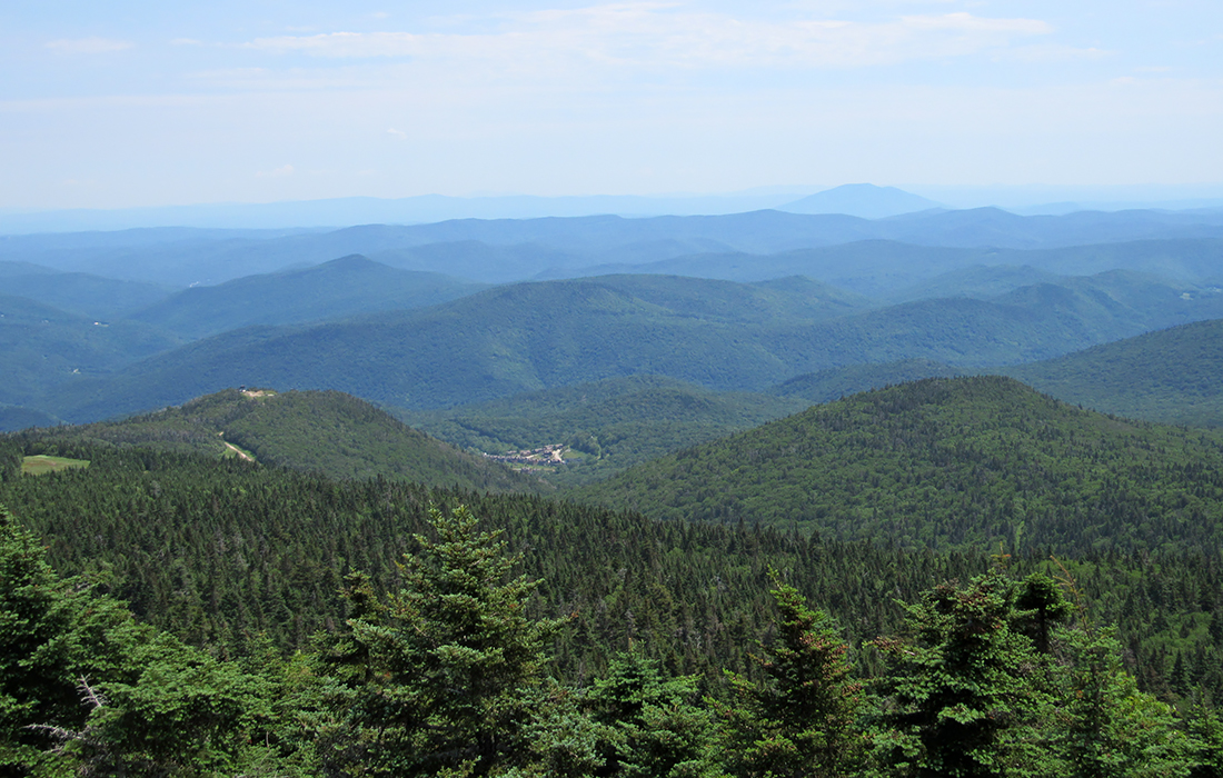
I was hoping that they sold souvernir Killington t-shirts or hats at the snack bar, but unfortunately, it was really just all food and drink items. I'd already snacked on the food, water, and Powerade I brought with me so I didn't buy anything. I just filled out my water bottle again before going back outside to admire the views to the east. Other than the Killington ski trails and base station, I couldn't identify a single peak in this direction, I simply wasn't familiar with the Vermont landscape. Finally, after taking one last picture down the K-1 Express Gondola lift line, I wearily slogged back uphill to the actual summit to begin the long trek back to my car in the ever-building steambath of this hazy, hot, and humid summer day. I have to admit, it felt good to get in my car and turn on the air conditioning as I made my way back to the campground in New York. |