|
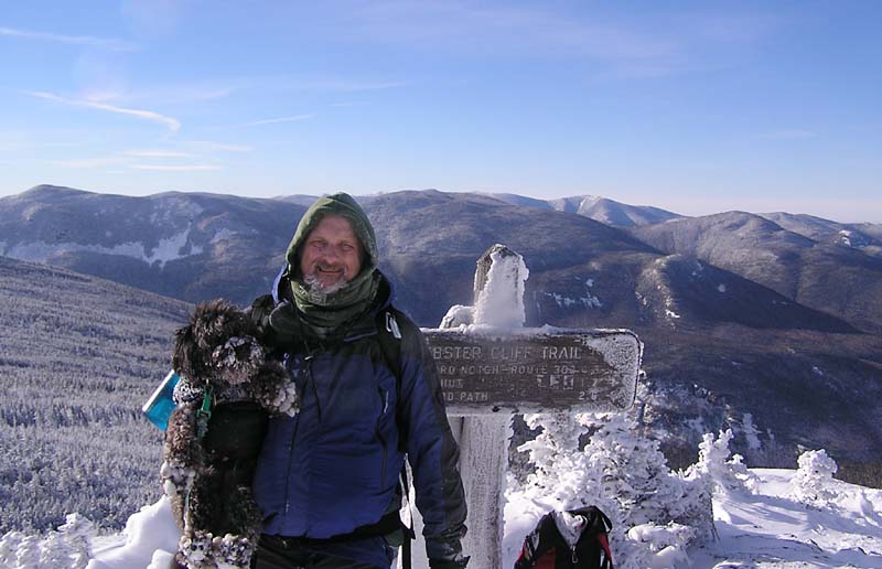
The
group of climbers who had helped me up the ledge were already at
the summit and one of them offered to take a picture of me and
Muffin. I stood next the summit trail sign and held Muffin in my
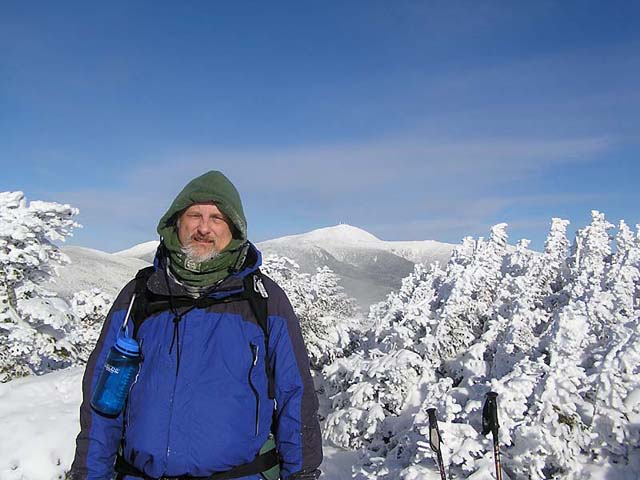
arms. He then took another picture of me with Mt Washington and
the Southern Presidentials behind me.
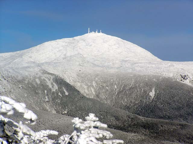
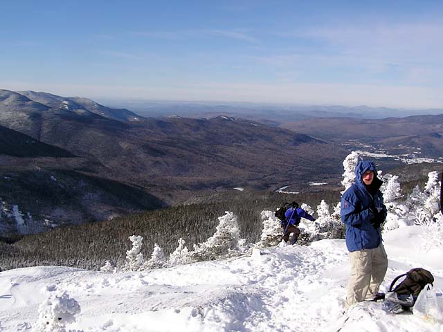
The
landscape was vast and impressive, encrusted all around in a thick
layer of white. Mt Washington particularly stood out, its summit
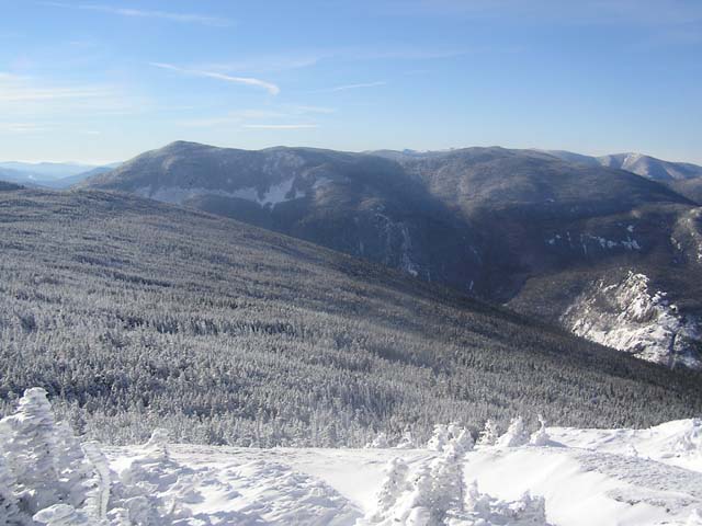
buildings and towers encrusted in ice. To the east, the Dry River
Valley and Oakes Gulf stretched out far to the south. In the other
direction, the Southern Presidential ridge extended down toward Mt
Webster and the Webster Cliffs before disappearing into the
southern end of Crawford Notch. To the northwest, beyond the White
Mountains, the land flattened out, continuing as a series of low
hills up toward Canada.
Although
it wasn't windy, it was still fairly cold, and I was exhausted. It
took far longer to climb Mt Jackson than I had planned, and I
quickly ditched all plans of continuing on to Mizpah Hut. The
Webster Cliff Trail looked untracked. After a quick snack and a
change of water bottles, we were on our way back down. I still had
my crampons on, and had no trouble getting down the large ledge at
the bottom of the summit cone. Of course, it's far easier to sit
down on your butt and slide part of the way down. If nothing else,
gravity is on your side.
When
we returned to the junction where the Webster-Jackson branches
split, I sat down to remove my crampons. Once again, I tried to
give some water to Muffin but she wouldn't drink it.
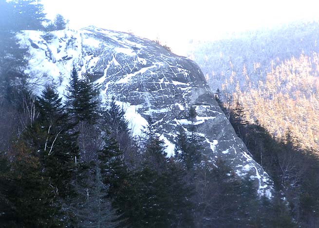
As
usual, the trip down seemed endless, but we finally emerged from
the woods at the trailhead, just north of and below Elephant Head
Rock, which I stopped to take a picture of. Before heading home, I
went into the Highland Center to look for a t-shirt, but ended up
buying a fleece instead. |
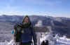
Me
and Muffin at the summit. A group of climbers had arrived just
before us and offered to take our picture. Notice the snow and ice
balls on Muffin's legs and feet. |
|