|
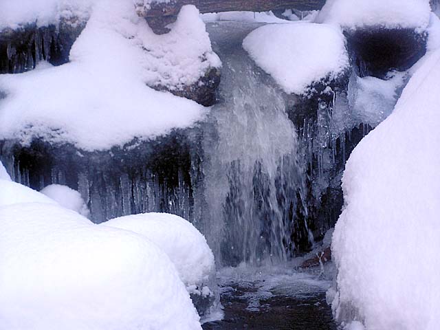
Along
the way, we crossed over a couple of small brooks. There were no
snow bridges over them, but the water wasn't high and crossing was
easy, even for Muffin. There was pretty little waterfall at one
brook, partially frozen, but still running cold
and clear. If I had been thirsty for real cold
water, this would have been the place to get it.
The
going was slow, partially because of the snow and partially
because I hadn't gotten much exercise lately. In much longer time
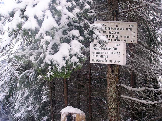
than I had expected, we reached the junction where the Webster-Jackson
Trail split into two branches, one heading south toward Mt Webster,
the other curving east toward Mt Jackson. Together with the Webster
Cliff Trail, it’s possible to make a loop over both summits. I
was already beginning to amend my plans, now hoping to just make
it to Mt Jackson, and then on to Mizpah Spring Hut and back via
the Mizpah Cutoff and Crawford Path. I didn't want to be out too
late as I had promised to return for supper.
We
stopped for a short rest and snack, then continued up the Mt
Jackson branch. The tracks we were following went the same way. After
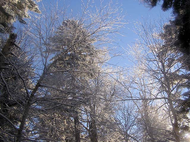
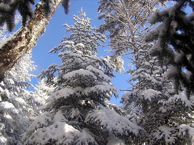
the junction, the trail soon began to climb more steeply. Many
of the needles on the low-hanging branches were covered with
snow, and I bundled up securely to keep from getting wet. Muffin,
of course, was already a lost cause. The woods sparkled in the clear morning
light.
Not
far from the junction, the trail appeared to split into two
different paths. The tracks also went both ways. First, I tried
the right-hand path but it soon appeared to dead-end. The left
path began to ascend what seemed like a steep rocky streambed with
water flowing somewhere hidden below, and I lost the tracks. I
decided to go back down and try the right-hand path again, making
sure that I hadn't missed anything. Again, the right-hand path
definitely hit a dead end, and I was forced to accept the fact
that the trail did follow the streambed for some distance.
Returning to that route, I continued beyond where I turned around
and soon picked up the tracks and a discernable treadway once
again. |
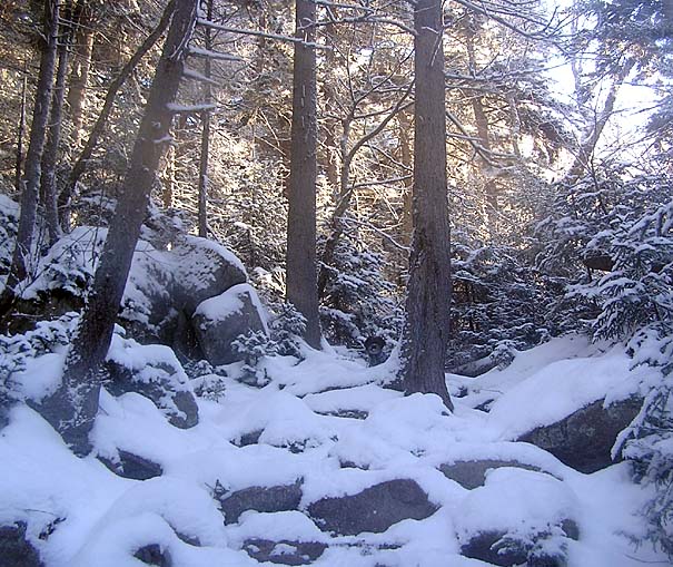
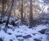
Snow-covered
trail not far past the Bugle Cliff spur junction. Besides mine,
there was another set of tracks in the snow. |
|