|
From
its junction with the west branch of the Isolation Trail, the Davis Path
descended a long, and sometimes steep slope, passed the east branch of the
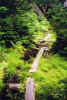
Isolation Trail, then leveled off, passing through a grassy boggy area
with a few decaying timber puncheons.
Before long,
the trail began to rise again, abruptly reaching its junction with the Mt
Isolation Spur Trail on the right. We climbed up this short, but steep and
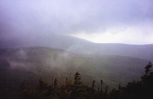
rough path and stepped out onto the wide treeless summit area. It was
still pretty foggy, so we couldn't see much in the distance, but I did get a glimpse of
the lower flanks of Mt Washington struggling to peer through the clouds.
Had it been sunny, the views would have been fantastic.
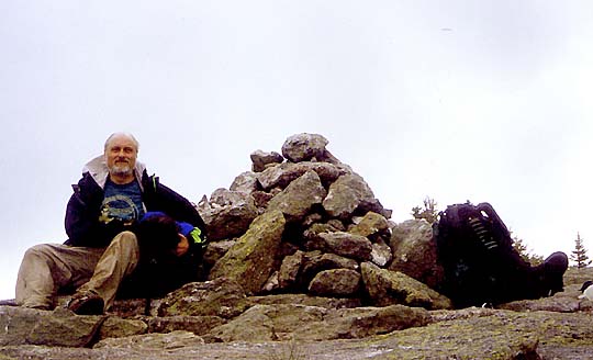
I
propped the camera on a rock, started its timer, then grabbed Muffin and
dashed to the summit cairn to pose us for the picture before the camera
flashed. This was not an easy task. It took several pictures before
I got a decent shot. My camera definitely could use a longer timer.
In
the gloom, the summit was a bleak and lonely place, and we didn't linger
long there. Heading down the spur trail, we quickly retraced our steps back up
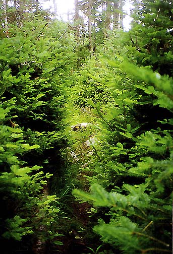
the Davis Path, then veered onto the Isolation Trail and started down. On
the way back, I snapped a picture of one of the overgrown sections
of the Isolation Trail. Without immediate maintenance, this little-used
path may soon be rather tricky to follow.
When
we reached the junction with the Dry River Trail a couple of hours after
summitting, we encountered the first people we'd seen since leaving Mizpah
Hut almost 24 hours earlier. The two men and their dog were hiking down
the Dry River Trail back to civilization after spending the night
somewhere up on Boot Spur. We talked a little about peakbagging and the
poor condition of the trails in this part of the mountains before heading
our separate ways. |
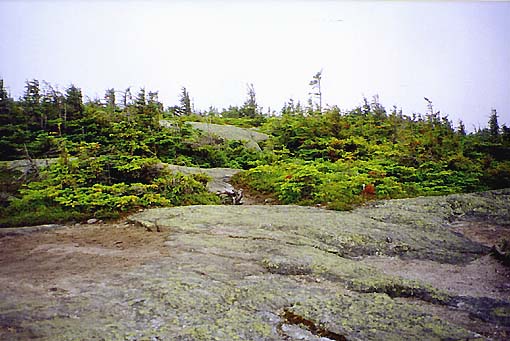
Timber
puncheons on the Davis Path. There were a few boggy areas in the col just
north of Mt Isolation. |
|