|
When
we returned to the tent, it was time to make supper. I erected the stove
next to a tree just above the river, but far enough downwind and away from the
tent so as not to saturate the tent the smell of cooking food. I made some
dehydrated beans and rice that were a little too spicy for my taste, but they
were pretty good anyway. I shared it with Muffin, and between us, we ate
all of it. I didn't want to have to pack it back out. I had some candy for
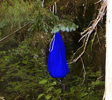
dessert, then cleaned up, filtered some water from the river, and hung
up all the cooking stuff and food in a bear bag on a small branch
overhanging the river. Afterward we went into the tent to lie down.
Unfortunately, I forgot to bring a book to read, so I was stuck re-reading
the trail descriptions in the White Mountain Guide.
The
alarm on my watch went off at 4:30 AM, and today I heard it and woke
up. It was still dark out, but I wanted to get an early start. I estimated
that it would take us no longer than six hours to make the 8-mile round
trip to the summit, which would get us back to camp by 11:00, giving us
ample time to take down camp and trudge another 5 miles out to the road.
At
5 o'clock, after a quick power bar breakfast, we hit the trail. It was
dark enough for me to use my headlamp, so I was especially careful
crossing the river as I didn't want to slip and start off the day's hike
wet.
I
was soon glad that we hadn't tried to hike to Isolation yesterday
afternoon. The Isolation Trail was rough and not well-traveled. For some
distance, it followed the course of Isolation Brook, rising and falling on
the bank above the brook like a bumpy roller coaster. At one point, where
the trail had completely washed out, someone had recently cut a new
section through the trees on the opposite bank. It was unmarked, and
extremely rough, still littered with stumps, rocks, and viscous brown mud.
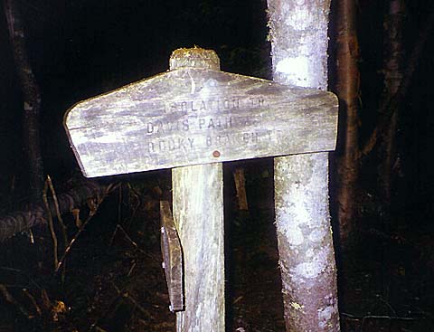
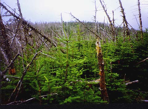
After
leaving the brook behind, the Isolation Trail passed through an overgrown
level marshy area, then began to more steeply assault the ridge. Finally,
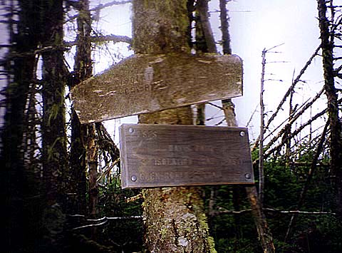
after entering an area with many dead fir trees, we reached the junction
with the Davis Path. |
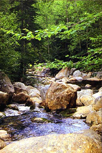
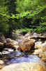
The
Dry River in front of our campsite. I got water from this spot and cooked
supper next to a tree just above the riverbank. |
|