|
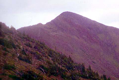
Above
treeline, the trail began to get steeper and I had to take
even more frequent rest stops. By White Mountain standards, the Humphreys
Trail is not steep; in fact it is downright gentle for most of its length.
But when you're getting close to 12,000 ft and aren't acclimated, the
altitude saps your strength even when the grade is moderate.
After
one of my rest stops, a couple caught up to me, then stopped for a break
themselves. Like many of the hikers I met that day, they were from the
Phoenix area. I told them that I was from Massachusetts and did a lot of
climbing in New Hampshire. They'd heard about but had never been to Mt
Washington, and said that they "would rather climb Humphreys Peak any
day" because of Mt Washington's reputation for dangerous
unpredictable weather and steep trails. The weather on Humphreys Peak is
fairly predictable. It almost never rains in May and June, then in late
June or early July, the monsoon season begins, with frequent afternoon
thunderstorms which you can easily avoid by climbing in the morning.
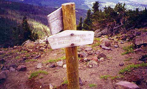
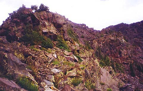
After
switchbacking up a few more rocky steep sections, I arrived at the saddle
(col) between Humphreys and Agassiz Peak, where the Weatherford Trail
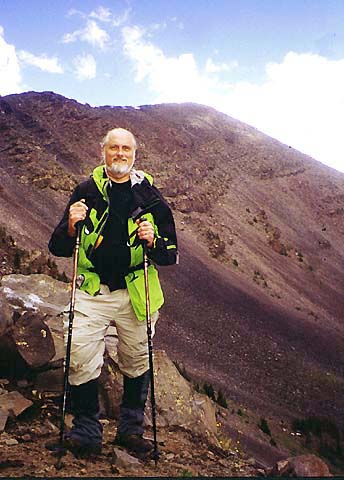
enters on the right. The saddle itself is a very
popular destination. Many people hike there without going any higher. It
was pretty windy up there, but some rocky outcrops provided windbreaks. I
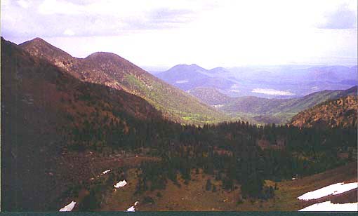
had my picture taken by another hiker, and sat down on the north side of a
group of rocks to rest and admire the views to the north.
After
getting up again, I realized that I had a headache in the back of
my head and was a little nauseous, sure signs of mountain sickness. On top
of that, afternoon thunderstorms were in the forecast and the clouds were
beginning to thicken. After giving it some thought, and hedging back and
forth and few times, I decided to call it quits and go back down rather
than risk getting caught on the unprotected ridge with lightning flashing
all around me while feeling a little ill from the altitude. |
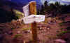
The
junction of the Weatherford and Humphreys Trails at the saddle. The
Weatherford Trail is a longer, but more gradual route up from the south
side of the mountain. |
|