|
As
I climbed higher, I could feel the effects of the altitude
on my breathing and energy level. I had to stop frequently to catch my
breath and rest my legs, which were beginning to feel like lead weights.
Fortunately, I wasn't in any particular hurry and there were lots of nice
flowers and views to look at. I was careful to drink a lot of water to
stay hydrated and help ward off altitude illness. A couple of times, I
felt a little lightheaded after I pushed too hard, but I recuperated
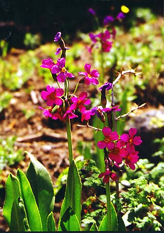
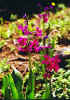
quickly when I stopped to rest. The
pink Parry's Primose was probably one of the prettiest flowers growing on
the mountain. There were quite a few of them from about 10,500 ft to
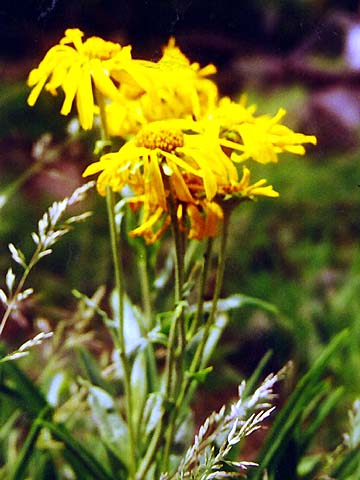
treeline. There were also a lot of nice yellow flowers that I think may
have been some kind of sneezeweed. Around
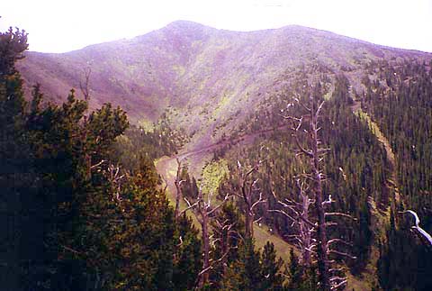
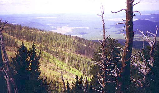
10,800 ft, I came to an open area that overlooked Agassiz Peak and the
upper slopes of the Arizona Snowbowl. I could also see the relatively flat
country south of Flagstaff. Unlike the extensive ranges of New Hampshire's
White Mountains, the San Francisco Peaks and a few nearby peaks are
isolated, sort of like Mt Monadnock and its neighbors. As
I continued huffing and puffing up the switchbacks, I noticed that hardly
any other hikers I met were using poles. In fact, even though I
encountered quite a few people on the trail, there weren't any more than
two or three who had poles or hiking sticks.
After
crossing a small slide, I came to a sign that announced the beginning of
the alpine zone at 11,400 ft. As in the White Mountains, it warned
climbers not to leave the trail or camp above treeline because of the
fragile alpine plants.
|
Parry's
Primose. These were a common wildflower between around 10,500 ft and
treeline. They were the most colorful flower I saw on the mountain. |
|