|
I
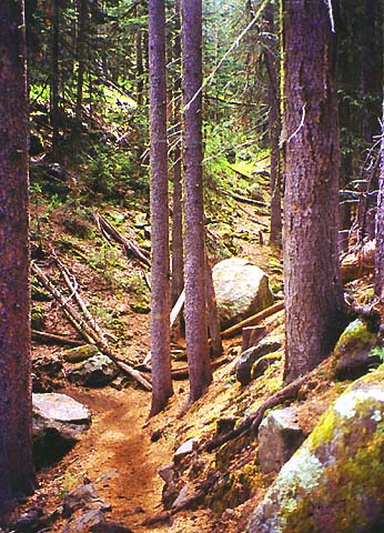
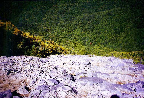
continued up the trail, which frequently made sharp
switchbacks, but the grade was never very steep. In several places, I was sure
that it was going to go up a narrow ravine or ascend a steep slope on
rocky steps, but it never did. Until I got right up on them, many of the
switchback turns were not apparent from a distance. If this had been the
White Mountains, the trail would definitely have cut a much straighter
line up the slope.
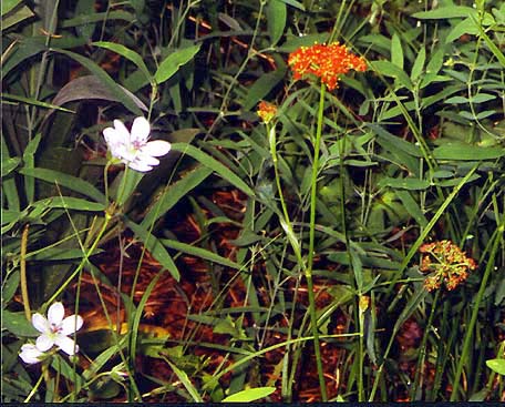
There
were many flowers along the trail, including some orange ones that may
have been butterflyweed. I didn't recognize most of the flowers
without looking them up in a guidebook, but even then I had trouble
identifying them.
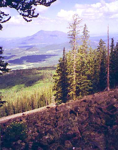
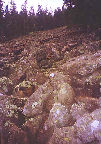
Not long after passing 10,000
ft (according to my altimeter), I came to
a huge rockslide. I was sure the trail was going to either cross it or go
right up it, but it fooled me again and made another sharp turn just at
its edge. The slide allowed some good views off to the southeast toward
Bill Williams Mtn.
The
rocks in the slide reminded me a little of the talus slopes above treeline
in the Presidentials. They were weathered and full of lichen, but still
seemed a bit newer than most slides in the White Mountains that
trails ascend, such as the Owl's Head or Flume slides.
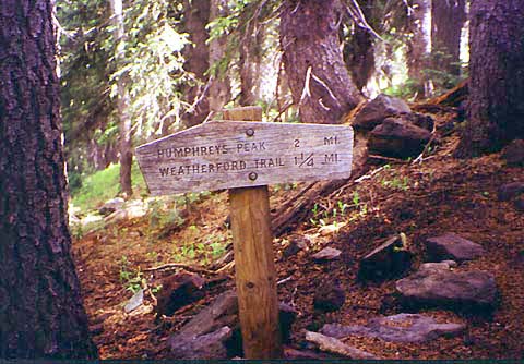
When
I had hiked two miles from the trail, I came to a sign that marked the
mileage. On the downhill side, it gave the distances to the Weatherford
Trail and to the summit. On the uphill side, it told the distance back to
the Arizona Snowbowl. I had also seen a similar sign back at the one mile
mark, and thought them unusual since the only signs in the White
Mountains that list distances are at trailheads, summits, junctions, huts,
and campsites, not in the middle of the trail at regular intervals. |
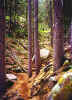
Humphreys
Trail at about 9,800 ft. The trail makes a sharp switchback to the left
here to avoid going up the ravine or steeply climbing the slope as it
would in New Hampshire. |
|