|
While
visiting my father near Phoenix, Arizona for several days, I decided
to take a day trip north to Flagstaff to climb Arizona's highest
mountain - Humphreys Peak. Flagstaff is a 2-1/2 hour drive north
of Phoenix, which is about the same distance as I drive to get to
Franconia Notch from home. As I do when I go to the White Mountains,
I left early at 5:00 AM. It's an easy drive north on I-10 and I-17
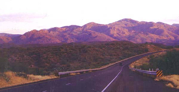
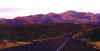
to get there. Along the way, I stopped to take a picture of the
sunrise on some mountains along I-17 north of Phoenix.
From
Flagstaff, I headed north on US 180. I could see the San Francisco
Mountains, a small group of extinct volcanos that loom over Flagstaff.
From US 180, I took a paved forest road to the Arizona Snowbowl
ski area where the trail began.
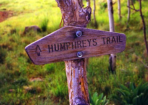
I
wasn't sure how I'd do on this mountain as the trailhead was already
at 9,300 ft and summit at 12,643 ft, and I hadn't had time to acclimate.
But I was determined to go as far as I could, hopefully all the
way to the summit, so I started up the trail, passing the signs
for the Coconino National Forest and the Humphreys Trail. The temperature
was around 65 degrees when I started out, a far cry from the 100+
temperatures in the Phoenix area. |
Purple
mountains majesty. While driving to Flagstaff, I stopped to take
a picture of the sunrise on these mountains between Phoenix and
Camp Verde along I-17. |
|