| |
|
|
North Hancock, South Hancock |
|
|
|||||||||||||
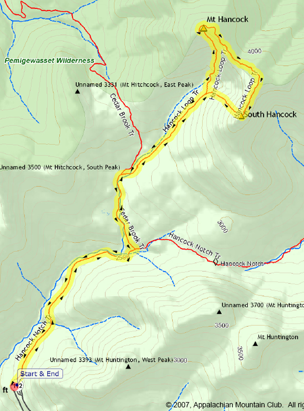
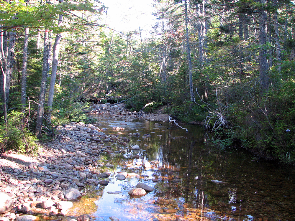
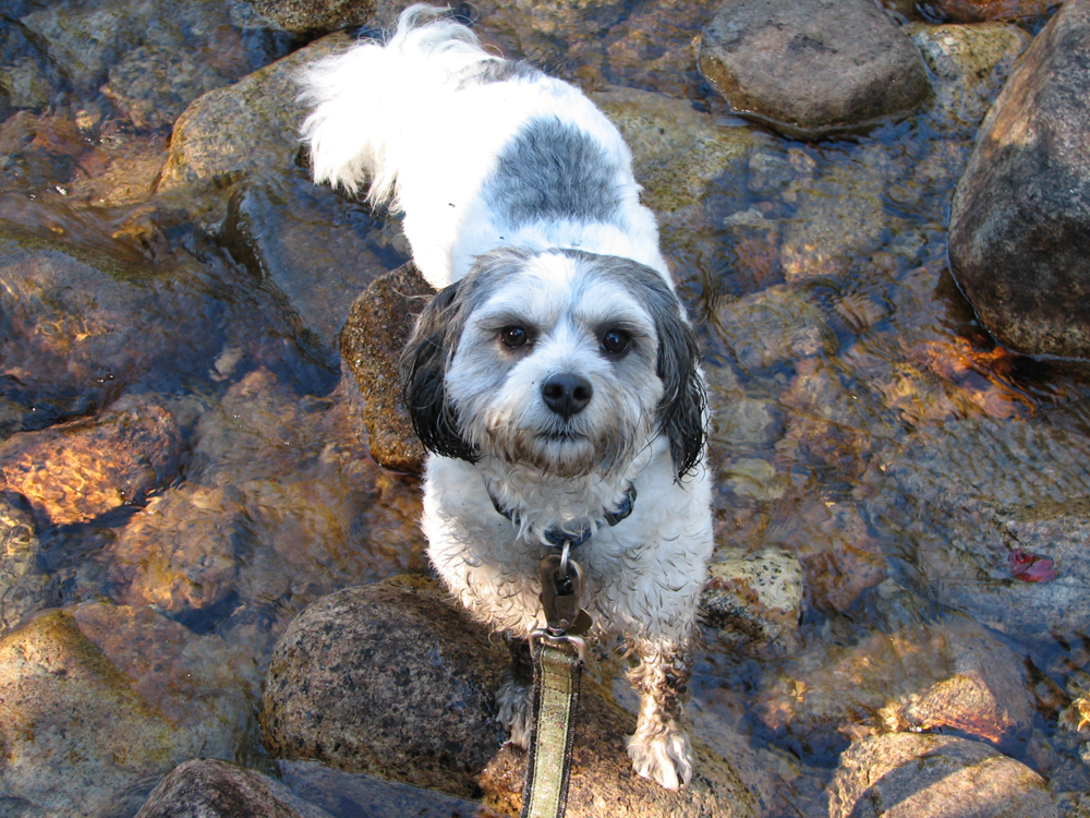
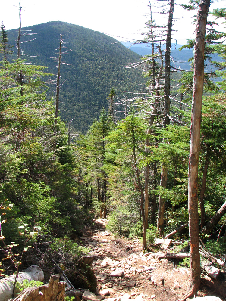
Three weeks after returning from our yearly two-week vacation on Cape Cod, Patches and I were ready for another trip to the White Mountains. I chose the Hancocks, primarily because we could climb two peaks in a relatvely short time, and I could get home in time to go out for supper with my family. The trailhead is located just off the hairpin turn of the Kancamagus Highway; the parking area, which is shared by sightseers driving along the highway, has great views of the Osceolas, although the summits were obscured by clouds that morning. From the lot, a short path leads downhill to where you have to cross the road to get to the actual start of the trail. The Hancock Notch Trail follows the bed of an old logging railroad for quite a long way, so the trail was wide and smooth, and the hiking was fast and easy, much like the Lincoln Woods/Wilderness Trail but without the railroad ties. Later, on the Cedar Brook Trail, at one of the crossings of the North Fork of the Hancock Branch, I stopped to take a picture of the brook, as well as one of Patches crossing it. At that time of the year, the water was low and the crossing was easy. After a couple more brook crossings, we soon reached the junction with the Hancock Loop Trail. On my last hike here, I had climbed the peaks in a counter-clockwise direction; this time, I decided to reverse the direction and climb North Hancock first. As expected, the trail up to North Hancock was steep and rough, perhaps a bit rougher and more eroded since Tropical Storm Irene came through in 2011. Still, it only took us just over an hour to climb from the junction of the North and South Links to the top. After a very brief stop at the wooded true summit, we headed over to the viewpoint down a short side path where we rested on the ledges, had a snack, and took some pictures. South Hancock was prominently in sight, as well as the Osceolas and the rest of the Sandwich Range, from the Tripyramids east to Mt Passaconaway. The hike across the ridge link was a breeze and quite pleasant except that, around the halfway point, Patches kept stopping to look in back of us and even growled at something a couple of times. I didn't see or hear anything or anyone, but I almost expected to see a bear burst out of the woods and out onto the trail. It started to make me check in back of us too, so I was glad when we finally reached South Hancock and nothing had materialized. The views from South Hancock are rather restricted, but I managed to get a decent shot of Mt Carrigain. I tried to take a closeup of the observation tower on the summit but the camera kept focusing on the nearby trees and all of the pictures came out blurry. The hike down the South Loop, which is particularly steep, was easier than I had remembered.. As always, Patches quickly sprung from rock to rock with the agility of a mountain goat. The rest of the trip back to the was uneventful. |
Fog-enshrouded Osceolas from the Trailhead oarking lot. The Hancock Notch Trail begins at the parking lot at the hairpin turn on the Kancamagus Highway. |
|
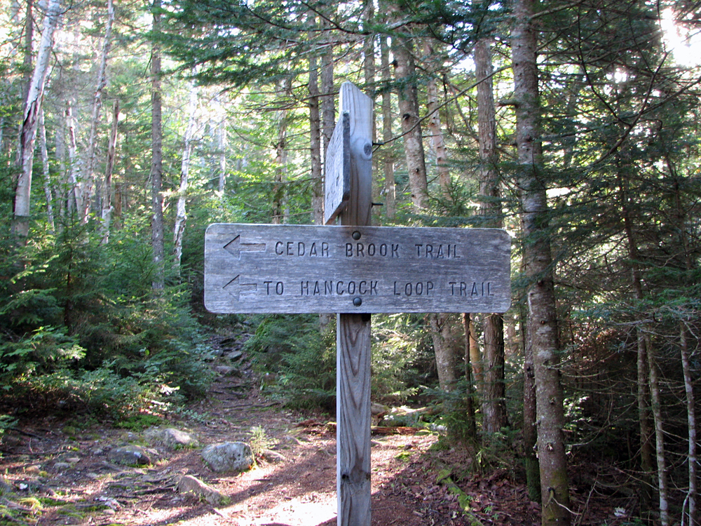
Hancock Notch/Cedar Brook Trail junction. Much of this hike is in the approach. It's 3.6 miles one way to start of the climb; this junction is about halfway to where the North and South Links diverge. |
|
|
Crossing the North Fork of the Hancock Branch on the Cedar Brook Trail. |
|
|
Patches crossing the North Fork of the Hancock Branch. The water level is generally low in August. |
|
|
Did you hear something over there? Patches eyeing the trail suspiciously lest anyone sneak up on us from the rear. |
|
|
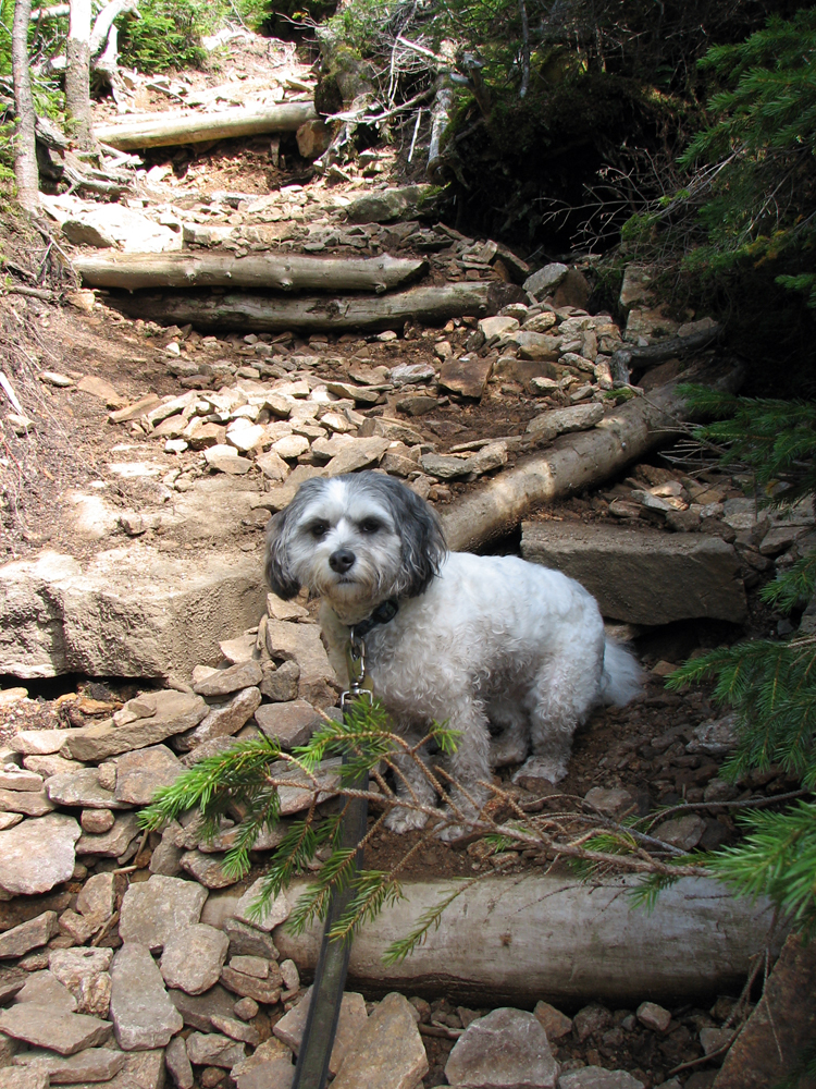
Patches climbing the North Link on the way to North Hancock. This trail has always been rough and eroded. Tropical Storm Irene in 2011 only made things worse. |
|
|
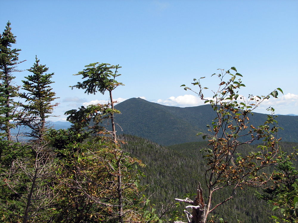
Looking across at South Hancock from high up on the North Hancock Link. |
|
|
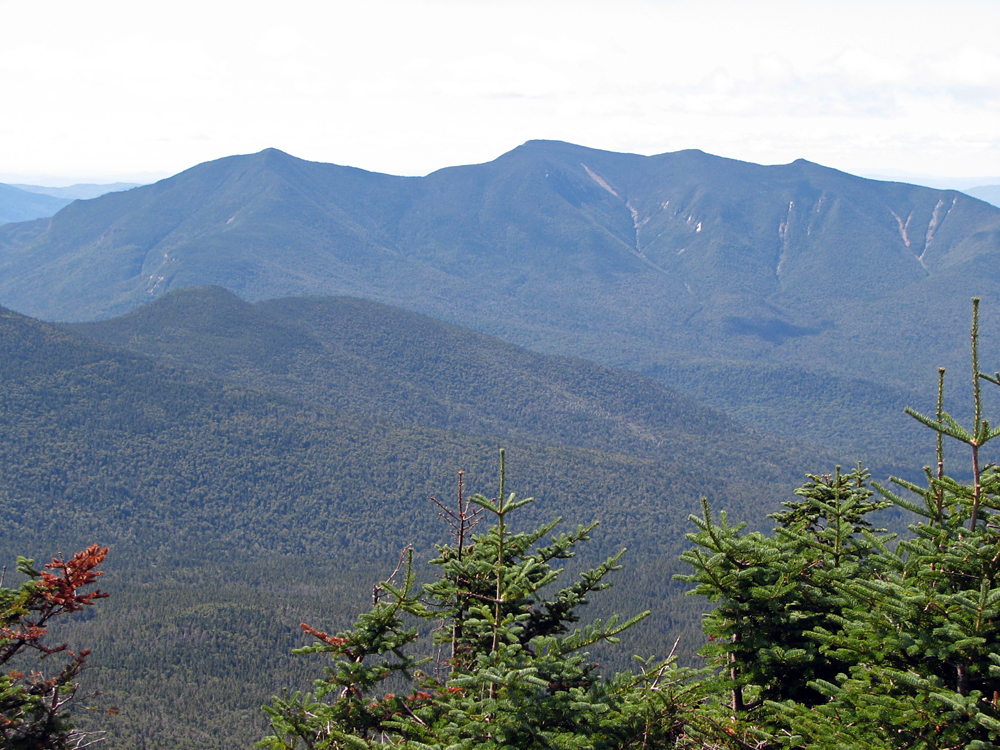
The Osceolas and Mt Tecumseh from the viewpoint on North Hancock. East Osceola is at the far left while Tecumseh is at the far right. |
|
|
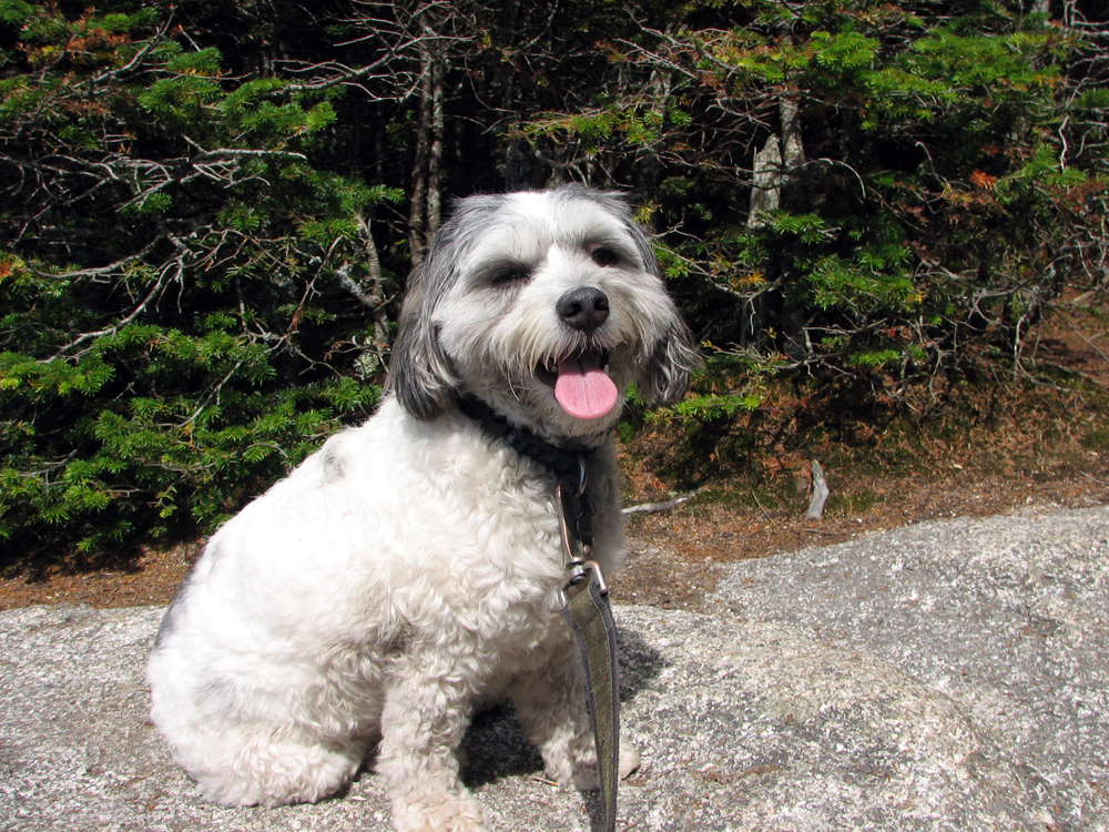
Happy-looking Patches on North Hancock. We rested here on the ledges for a while, took some pictures, and had a snack. |
|
|
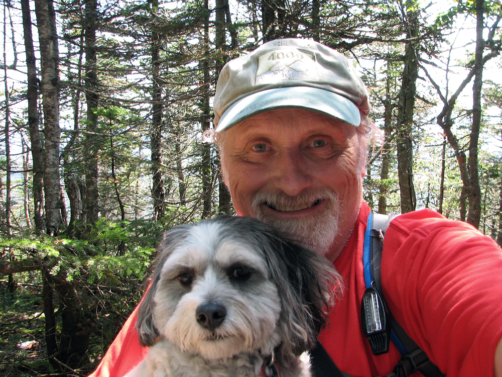
Self-portrait of Patches and me on the wooded summit of South Hancock. |
|
|
Restricted view of Mt Carrigain through the trees on South Hancock. |
|
|