|
The
path descended into a gully, then began a steady and often
steep climb up the southwest face of the mountain, roughly parallel
to the nearby Arrow slide.
The
snow was still reasonably firm, but only in the middle of the trail,
which by now was not as obvious as it had been at lower elevations.
As long as I chose my steps carefully, I was all right. Every now and then
I would misjudge and posthole about a foot or so, which really
wasn't an issue except that it wasted energy.
A
thousand feet above the Hancock Loop split, the grade lessened and
we entered a sizeable blowdown patch with great views to the
southwest. The lack of shade meant the sun had had a chance to
undermine the snow, eroding traces of footsteps. Past this open
area, the trail really leveled out; I expected to break out onto the
summit at any moment. It was hard to follow the trail at times, so
at one point, when it started to descend slightly, I thought we had
missed a turnoff, so we headed back down below the blowdowns looking
for signs of a different path.
I
didn't see anything that looked any better so we retraced our steps,
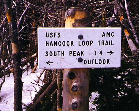
passing the point where we had turned around. Finally, around a
couple more bends, we reached the summit area, where a sign pointed
the way to South Hancock and to a nearby outlook.
The
outlook sounded good, so we followed the trail to a group of
weathered boulders that formed a semi-open ledge with views south
and west. We made ourselves comfortable on the smooth rock face
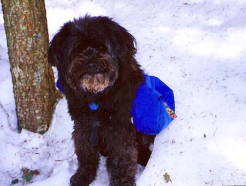
and
ate some potato sticks and drank some water. Muffin didn't really
seem to like the idea of stopping until I pulled out the potato
sticks, which definitely caught her attention. |
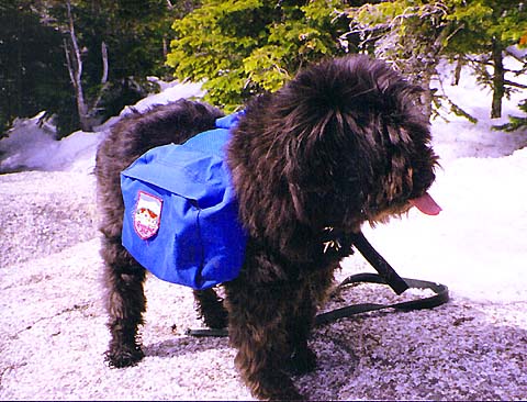
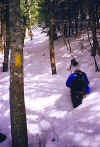
Climbing
the north branch of the Hancock Loop. Parts of this trail were
somewhat steep, but my crampons helped with traction in icy
sections. |
 |