|
The
Cedar Brook Trail first crossed a small brook, climbed a bank, then
narrowed and became straight and level. Soon we reached a quick
succession of five crossings of the North Branch of the Hancock
River. The first crossing looked a bit deep, so following a tip in
the guidebook, I bushwacked a short ways up the river to rejoin the
trail where it crossed back over again. It didn't look like anyone
had taken the bushwack recently, and I postholed several times in
the softer snow. Muffin, however, walked on top of the snow with no
problem.
The
next two crossings were mandatory, but there were enough stepping
stones to make them with little difficulty. At the final crossing,
the trail seemed to merge with a tributary for a short distance.
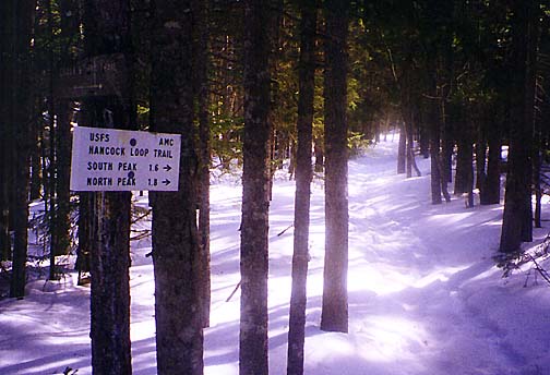
Reaching the junction with the Hancock Loop Trail, we paused for
another quick rest and snack.
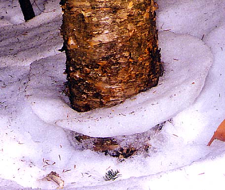
The loop trail crossed the North
Branch one final time, then left the river behind. In the open woods
along the trail, the warmer spring weather had begun to melt the
snowpack away from the trunks of the trees, leaving behind numerous
snow rings as evidence.
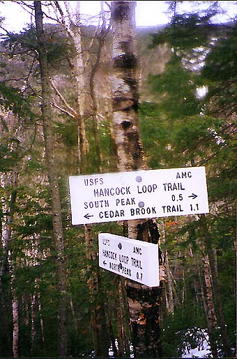
After
an uneventful hike gently uphill for just over a mile, Muffin and I
reached the point where the Hancock Loop Trail splits into two
branches. I chose to ascend the north branch up North Hancock. From
there, I hoped to follow the mile-and-a-half ridge connector to
South Hancock, then descend the south branch back to the loop
junction. My only concern revolved around conditions up on the
ridge. I had just read a trip report on
Views from the Top where
someone had lost the trail along the ridge and had to turn back. I
didn't want to get this far and then only make one of the summits,
so I resolved that if all else failed, I'd descend back down from
North Hancock, then climb South Hancock from the loop junction,
assuming I
still had the energy.
We
stopped long enough for me to put on my crampons and take a swig of water,
and we were off. |
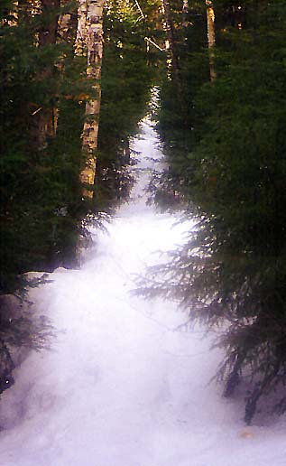
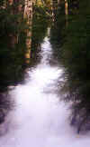
Cedar
Brook Trail. After leaving the Hancock Notch Trail, there was a
short straight level section before reaching a succession of brook
crossings. |
 |