|
I
parked
the car at the Falling Waters/Old Bridle Path Trailhead in the early
morning. After stopping at the trailhead sign for a couple of pictures,
we started hiking up the Old Bridle Path.
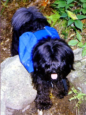
We
all wore our backpacks containing our water, snacks, lunch, and
extra clothing. Muffin carried her water in her backpack too, and
was very happy to be doing so.
When
we left, the weather was partly sunny, but with patches of fog and
mist near the tops of the mountains that were threatening to creep
down into the valleys. At
the split where the Falling
Waters Trail crosses Walker Brook and branches off to the right,
we stopped at the trail register to sign in.
From there, we climbed up the trail through the woods. After a while,
we came to a sharp left turn, and the trail climbed steeply up to
a lookout down into Walker Ravine. We thought we saw an eagle’s
nest in a tree far below.
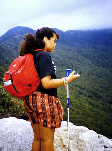
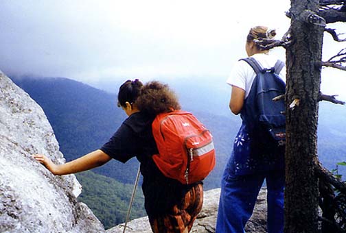
Just
above, the trail ascended steeply up to the ridge, and we soon came
to an area with lots of good view at ledges overlooking Walker Ravine.
Looking west, we could see parts of Franconia Ridge through breaks
in the mist. South across the ravine, the ridge coming down from
Little Haystack drifted
in and out of the mists. |
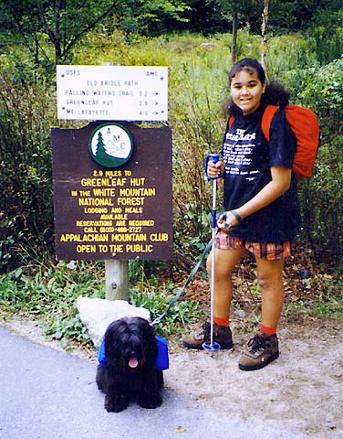
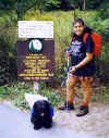
Holly
and Muffin at the Old Bridle Path/Falling Waters Trailhead. We all
wore backpacks carrying our water, snacks, and lunch. |
 |