|
Day 1
I was hoping to make this an overnight trip to climb Owl's Head by backpacking in to the Franconia Brook Tentsite via the Pemi East Side Trail (also known as the East Branch Truck Rd) on the first day. Then, after a good night's sleep, rock hopping across the East Branch of the Pemigewasset River to connect with the Franconia Brook Trail. I figured that this would save us around an hour-and-a-half on the second day, making it easier to return before nightfall. After checking online, it seemed like the water level would be low enough to easily get across the river.
I parked at the Lincoln Woods Visitor Center around one o'clock, and we began preparing for the hike in. This was the first time in several years that I was going to be backpacking with a full pack instead of my much lighter day pack, and I wasn't completely sure of my abilities after my heart valve replacement in 2016. Plus, we were in the middle of a long heat wave at home on Cape Cod, and it hadn't let up much here in the White Mountains. Even Patches had to carry a two-day supply of food in her backpack.
The East Side Trail begins around back on the river side of the visitor center. The few hikers I saw at that time of day were all taking the suspension bridge to the Lincoln Woods Trail. The East Side Trail was never a logging railroad, just a truck road, so it isn't as flat as the Lincoln Woods Trail. There are a number of short gentle ups and downs, mostly around bridges over feeder brooks. My heavy backpack took some getting used to, and I was constantly adjusting to keep the weight off my shoulders. It probably needed some adjustments to better fit my torso length.
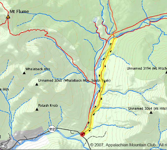
I believe it took us over two hours to get to the campsite but I wasn't really paying attention to the time. The first place we passed was the caretaker's tent. We strolled over to see if anyone was there but the tent seemed to be empty, so we continued down the trail to look over the available campsites. We finally settled on site number 11, which was a few steps up from the trail. I took off my backpack and breathed a sigh of relief to be able to walk around unburdened.
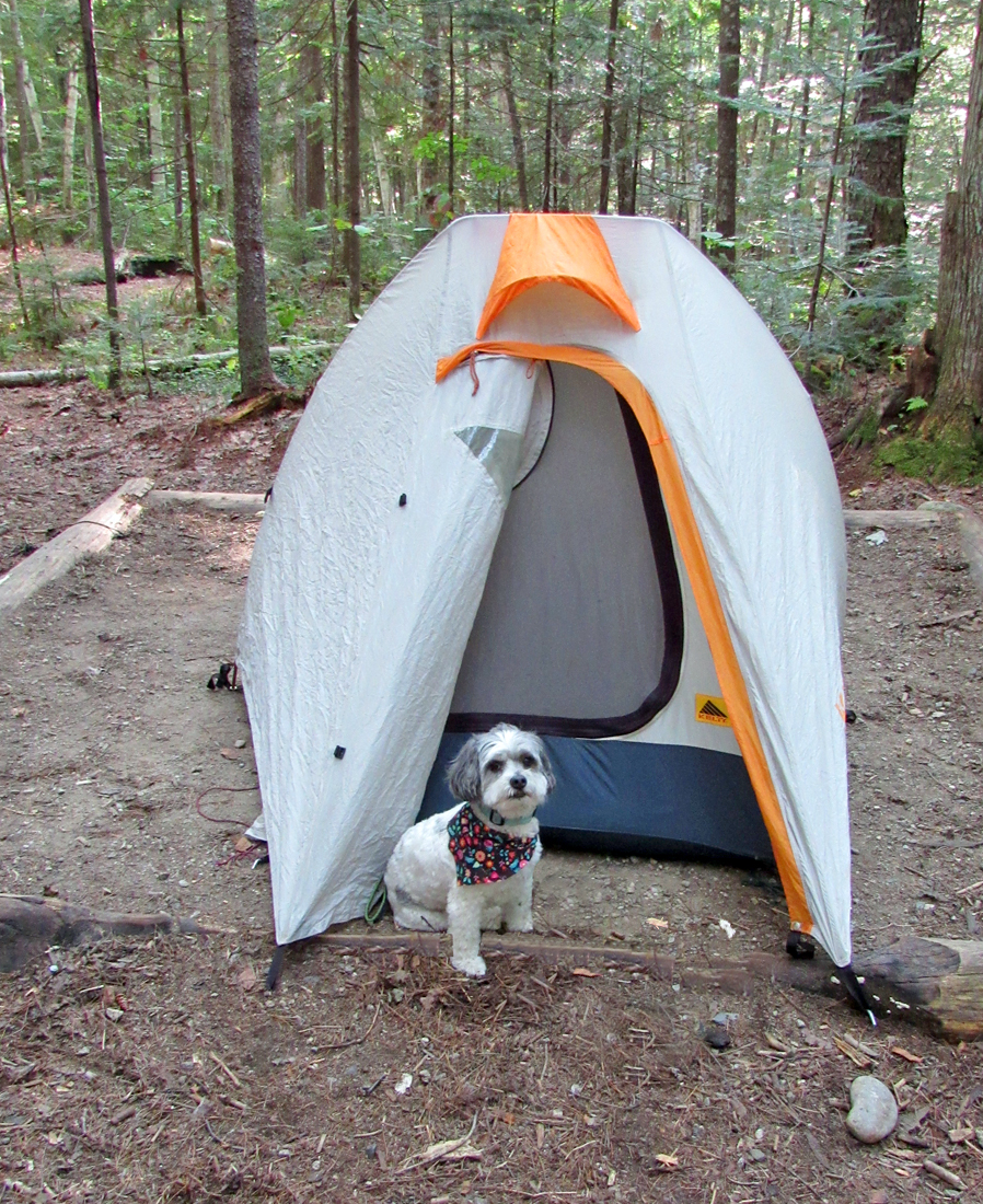
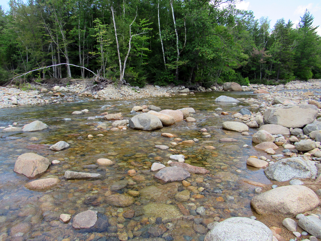
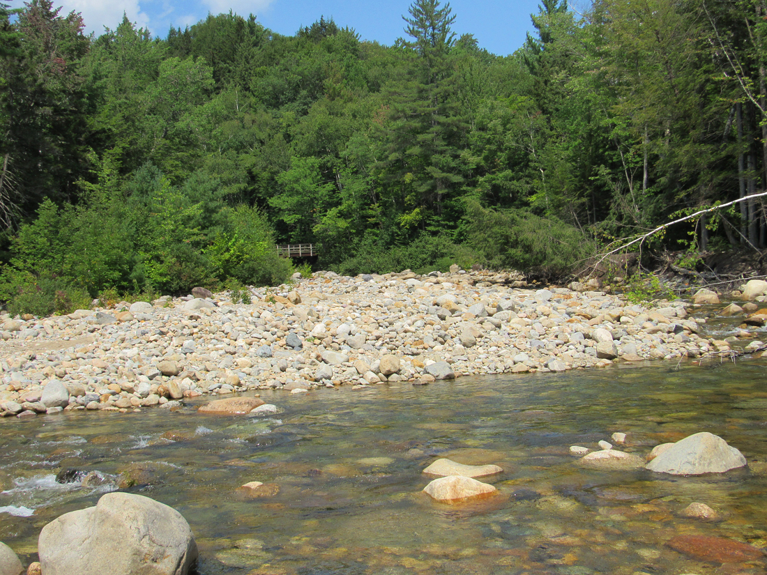
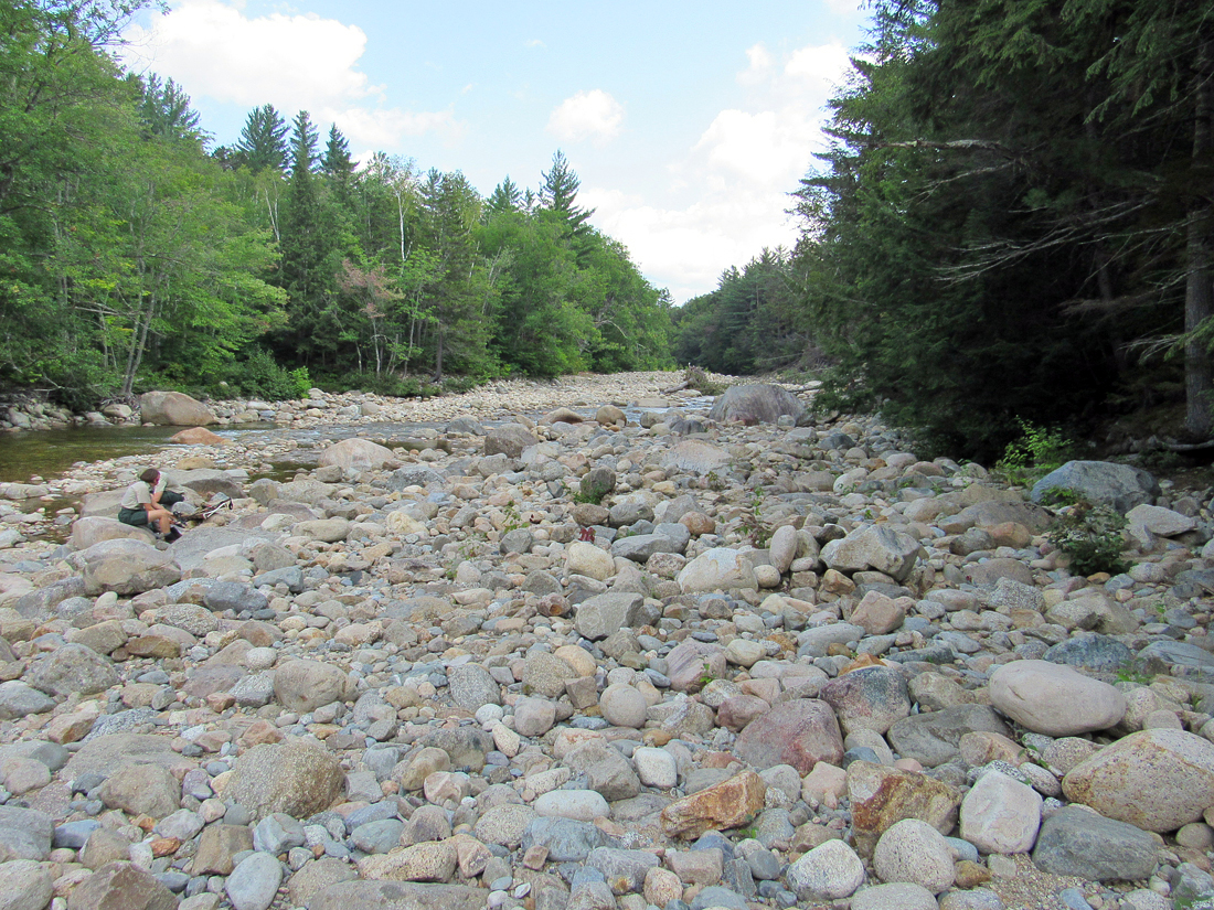
After supper, we took a walk down to the river to filter some water, and then began exploring for a good place to cross. From a distance, the water seemed pretty shallow, but close up there were deeper holes between wet and slippery stepping stones that were just too far apart to rock hop. We followed the river upstream a ways where there was a fallen tree that I thought might be helpful, but there were so many sharp broken branches sticking out from it that would have made it difficult to scoot along on my butt while also holding onto Patches. It was also too high above the water to safely try to walk across it. After an hour or so of searching, I gave up and we returned to the tent to relax and fall asleep so we could get an early start the next morning.
Day 2
We got up around 5:30 AM, hoping to find a reasonable place to cross. Back down by the river, we looked over all the likely places from yesterday, but there hadn't been any improvement in the water level overnight. I found a couple of places where I could rock hop out as far as six feet or so, but then I was stuck trying to get any further along without stepping in running water that would have been higher than the top of my boots. It wouldn't have been so bad for Patches to get wet because she dries off quickly while water squishing around in my boots would have left me with blisters by the end of the day.
Finally, I decided that the best thing to do would be to take off my shoes and socks and wade through the deeper areas. This is where things got much worse. Bare feet on slick rocks have no traction; my feet suddenly slipped out from under me and I fell sideways, got a small cut on my arm, and got thoroughly drenched. My boots, which I had tied together and slung over my neck, also ended up on the water. Luckily, my camera made it out unscathed as it was hanging from my left side and I fell on my right side. Patches, who was trying to follow me, also ended up wet. There was no choice but to return to the tent, attempt to dry off, and then call it a day.
Later, after changing out of my wet things and taking a nap, I took down the tent and packed up as best as I could. The wet things hadn't dried much, if at all, and my boots were still soaked and squishy inside. Before strapping on my pack, we took another walk down to the river. This time, there were a couple of rangers who were planning on crossing the East Branch and heading over to Franconia Falls to clean up some trash. They had thought ahead and were donning water shoes so they could wade across. I wish I had brought my crocs. We'd have probably already reached Owl's Head and were on our way back.
With a slightly heavier pack, we slogged (and I sloshed) back down the trail to our parked car. Needless to say, it was a very disappointing trip. |
Patches in front of our one-person backpacking tent at the Franconia Brook Tentsite. It's actually fairly roomy for the two of us. |
 |