|
To
the east, the view from Mt Liberty includes Mts Bond and Bondcliff, where
I had finished my four-thousand footers a couple of years before. And to
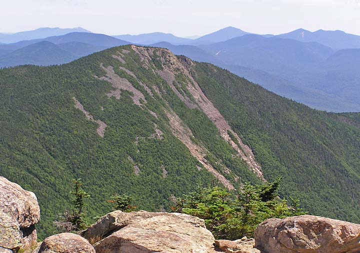
the south, there was a much better view of Mt Flume and its numerous
slides than there had been through the trees a bit lower down.
The
most striking feature of Mt Liberty (and also Mt Flume to a lesser extent)
is its many sharp outcrops and massive broken rock outlooks down into
Franconia Notch, not unlike the sides of a deep quarry. Some mountains,
such as Washington, are little more than enormous piles of rocks and
boulders. Others, like Mt Moosilauke, have broad rounded summits. Liberty
and Flume are narrow with gentler, more rounded slopes to the east and
dramatic sheer rocky cliffs on the west. Every peak has its own
personality.
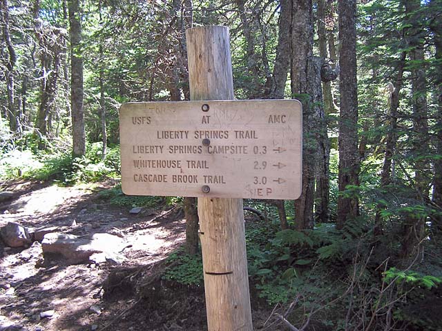
After
looking around for a while, we continued down to the Liberty Spring Trail
junction, then began the long, relatively gentle descent into Franconia
Notch. Along the way, we stopped at the Liberty Spring Campsite to filter
another bottle of water and to check out the tent platforms. In addition
to the more-or-less permanent caretaker's wall tent, there were a couple
of hikers who had set up camp and were just hanging around.
When
we finally reached the bottom of the trail, I couldn't call for the
shuttle with my cell phone because there was no reception in that spot. I
decided to head south to the Flume Visitor's Center, where I could use the
payphone if I still couldn't get a signal. The Whitehouse Trail is the
standard route between between the Flume parking lot and the Liberty
Spring Trail, but I didn't feel like dealing with all of its minor ups and
downs, so we just headed down the bike path, which is a much smoother and
quicker route. By the time we reached the Flume, my phone was working
again, so I called the Shuttle
Connection, which got there in 15 or 20 minutes and took us back to my
car at Lincoln Woods.
After
stopping for a snack and soda at the gas station, followed by a quick stop
at the Mountain
Wanderer bookshop to talk to Steve Smith, we headed home down I-93,
not at all sorry to be sitting down for a couple of hours or so. |
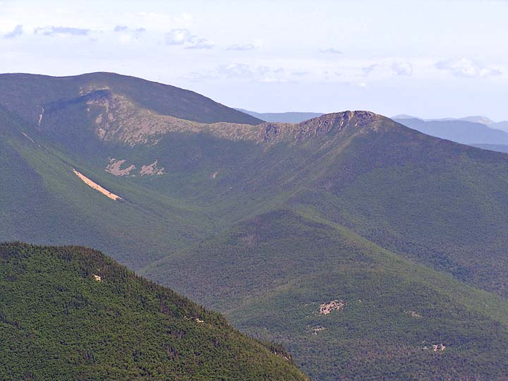
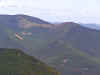
Mts
Bond and Bondcliff from Mt Liberty. A long sharp ridge joins these
two wilderness peaks. I finished by 48 four-thousand footers on Mt
Bondcliff. |
|