|
Soon,
the Osseo Trail began to climb up the valley on the east bank of the brook
on an old logging railroad grade. The climb was gentle to moderate, but
steady, the temperature was comfortable, and the hiking was pleasant and
not too tiring.
Trying
to minimize the weight I was carrying, I had only filled two water bottles
at home, and was planning on getting more before we ascended beyond the
brook. About 2 miles from the Wilderness Trail, the Osseo Trail made a
sharp right turn away from the brook, which by now was quite a ways down a
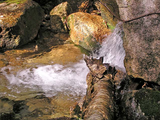
steep wooded embankment. This was the last sure water, so I decided to
bushwhack down the ravine to fill up before we reached the long dry ridge.
It was far enough downhill that I wished I had filled up earlier when the
trail was still close to the brook. We got to the bottom right next to a
small waterfall, where I filtered a couple of bottles and had a nice long
drink while Muffin sat looking at the cool water. By the time we struggled
back up to the trail, I was tired and sweaty, and my camera had gotten
damp and no longer worked right.
After
making the sharp right turn, the trail steepened, switchbacking up the
tougher sections. At one point, it climbed a series of nicely-built wooden
stairs, and soon reached the top of the ridge. Before we knew it, we
arrived at the Flume Slide Trail, and then the summit itself.
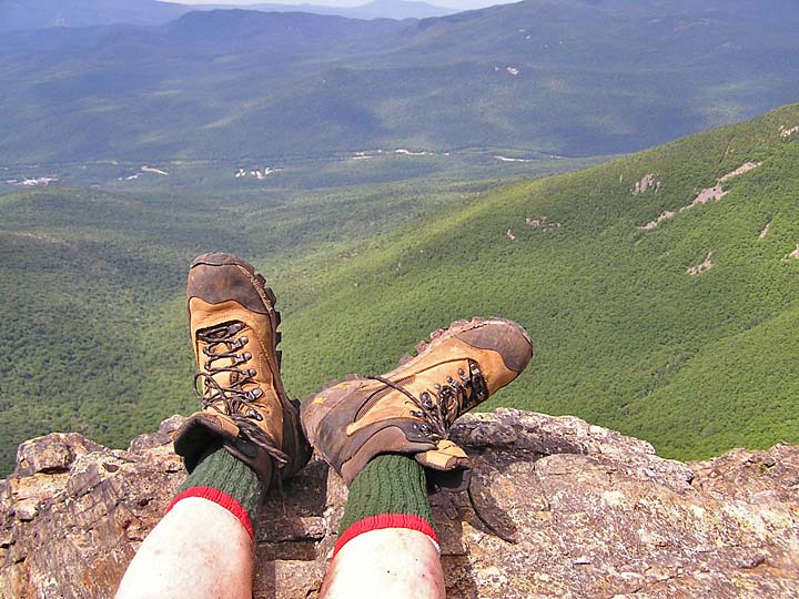
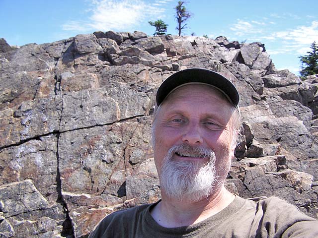
Views
were excellent and clear, especially to the west and north. We hopped down
to a flat ledge overlooking Franconia Notch and ate lunch. I set the
camera in the sun so it would dry out, then started taking pictures when
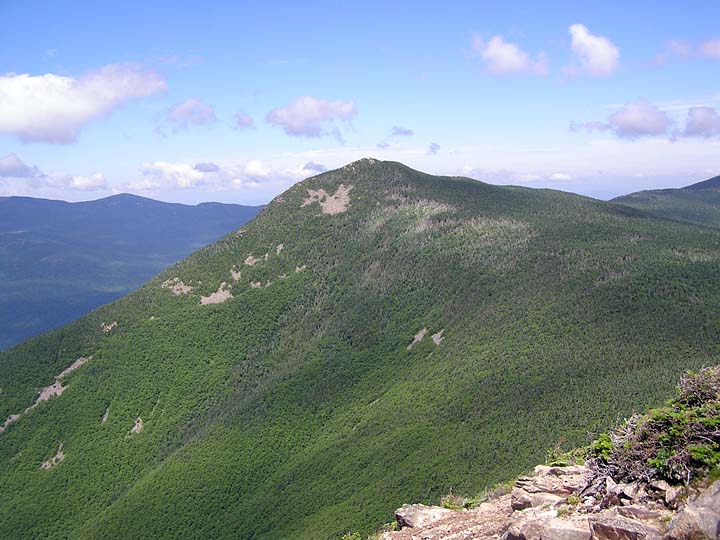
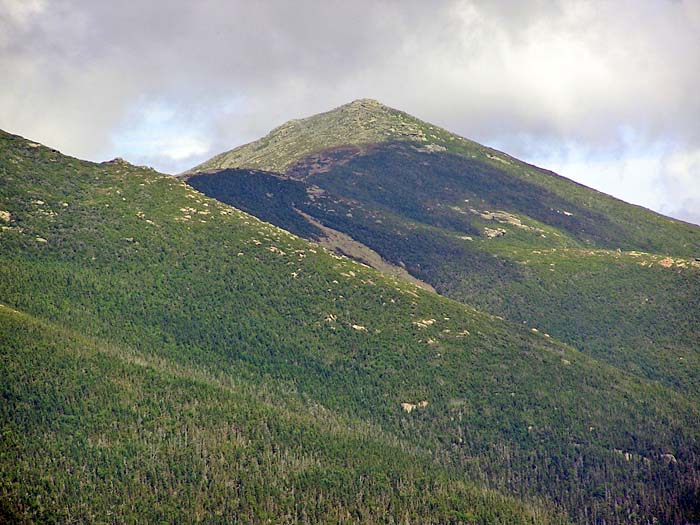
it began working again. Nearby to the north was Mt Liberty, our next
destination. Beyond that loomed Mt Lafayette, the highest point on the
long narrow ridge.
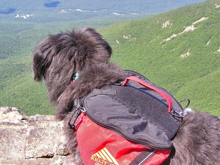
In
no particular hurry, we lounged in the warm sun enjoying the pure mountain
air, gentle breezes, and sweeping views. Little did I know that I was
about to make a terrible mistake. |
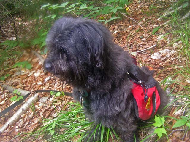
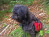
Muffin
looking down at the water. She certainly looks like she's thinking
about something. |
|