|
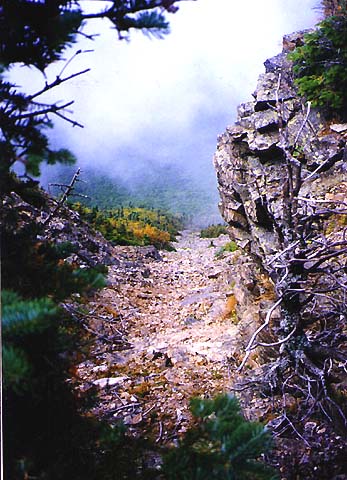
The
ledges are often wet from seep springs, but luckily were dry today, which
made climbing a lot easier. The White Mountain Guide discourages
you from climbing up this trail in wet weather, and advises you not to
descend it at any time. The photos I took don't come close to showing the
steepness and roughness of this trail. In many places, tree roots and
branches were the only things I had to grab on to pull myself up the
taller ledges.
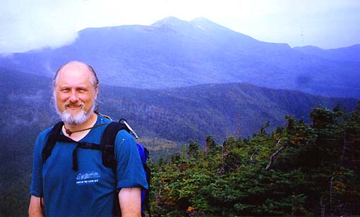
After a long climb, I finally reached the top of the slide.
The trail wound steeply uphill from here through the increasingly scrubby
fir and spruce trees until it reached the Franconia Ridge/Osseo Trail
junction on the ridge. From there, the Franconia Ridge Trail climbed
quickly to the narrow rocky summit of Mt Flume. Several slides tumble
downhill sharply into the notch below. You can see these slides from the
highway, but none of them are the one that the Flume Slide Trail ascends.
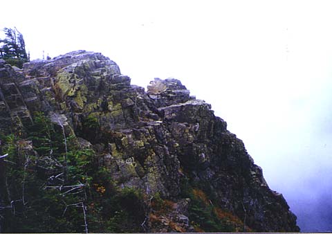
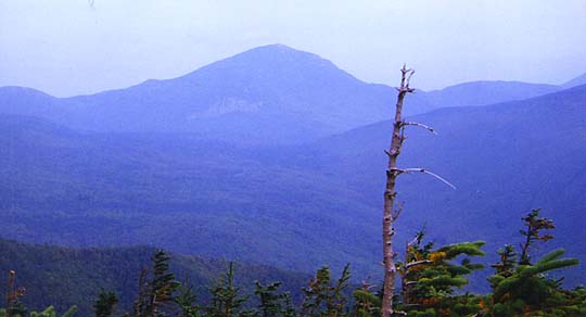
The
top of Mt Flume is a craggy ridge with several rocky outcrops. From the
true summit, you can look across to one of these crags. Through occasional
breaks in the fog, I got glimpses of other peaks in the distance, but the
haze made it hard to see them clearly.
|
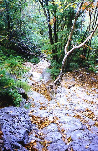
Looking
down the Flume Slide Trail from near the point where the trail veers left
off the slide and into the woods. |

|