We
soon came to the Thoreau Falls Trail junction, which was about
2/10 of a mile above the head of Thoreau Falls. Although Holly
was beginning to get tired, we all agreed that it would be a shame
to miss the falls.
At
Thoreau Falls, the North
Fork of the East Branch of the Pemigewasset River tumbles down
a series of cascades to join Whitehall Brook at the base of Zealand
Notch. From there, the now wider river flows south through the
heart of the Pemigewasset Wilderness, where
it turns west again near the Wilderness Trail.
We
rested on the ledges at the head of the falls, filtering a couple
of bottles of nice cold water, not because we needed it badly,
but just because it was nice and cold. Staying well to
the side of the flow, at least at this time of year when the water
level was relatively low, you could scramble down the ledges here
to the base of the falls, but we were content to watch them from
above.
On
our way back up to the Ethan Pond Trail, we met a White Mountain
National Forest ranger out on patrol. I think he was planning
on hiking all the way down to the Wilderness Trail, then looping
back north along the Shoal Pond Trail.
The
last part of our hike for the day was a long slog eastward to
Ethan Pond. The trail seemed to go on forever, an endless stretch
of ups and downs, mostly ups. It had appeared much flatter on
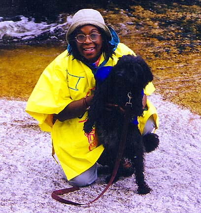
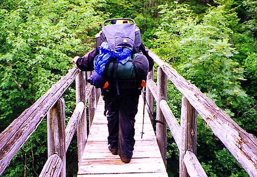
the map. Holly's pack was also giving her trouble because her
hip belt had broken the day before.
We
finally reached the spur trail to Ethan Pond Campsite. After a
short downhill stretch through the sparse woods, we
crossed over the
rocky eastern shore on stepping stones, which didn't phase Holly,
Muffin, or me. But Toi has a hard time balancing on stream crossings,
and the wind was blowing menacingly off the pond, stirring up
whitecaps and promises of more rain. She had to judge each step
carefully.
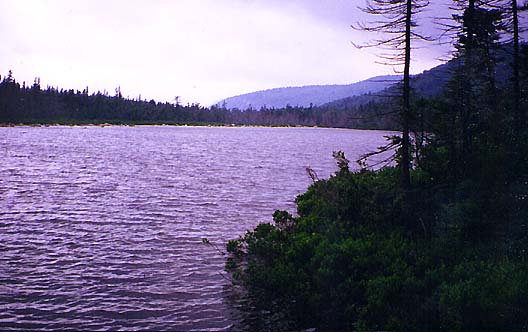
At
this crossing, the view west across the pond is superb, and would
have been even better on a clear day. Above and to the east towered
Mt Willey,
its summit hidden in the clouds. |
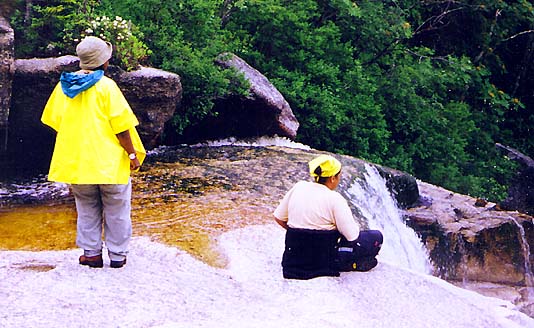
Toi
and Holly and the top of Thoreau Falls. Below, the river cascaded
down to join Whitehall Brook at the base of Zealand Notch. |

|