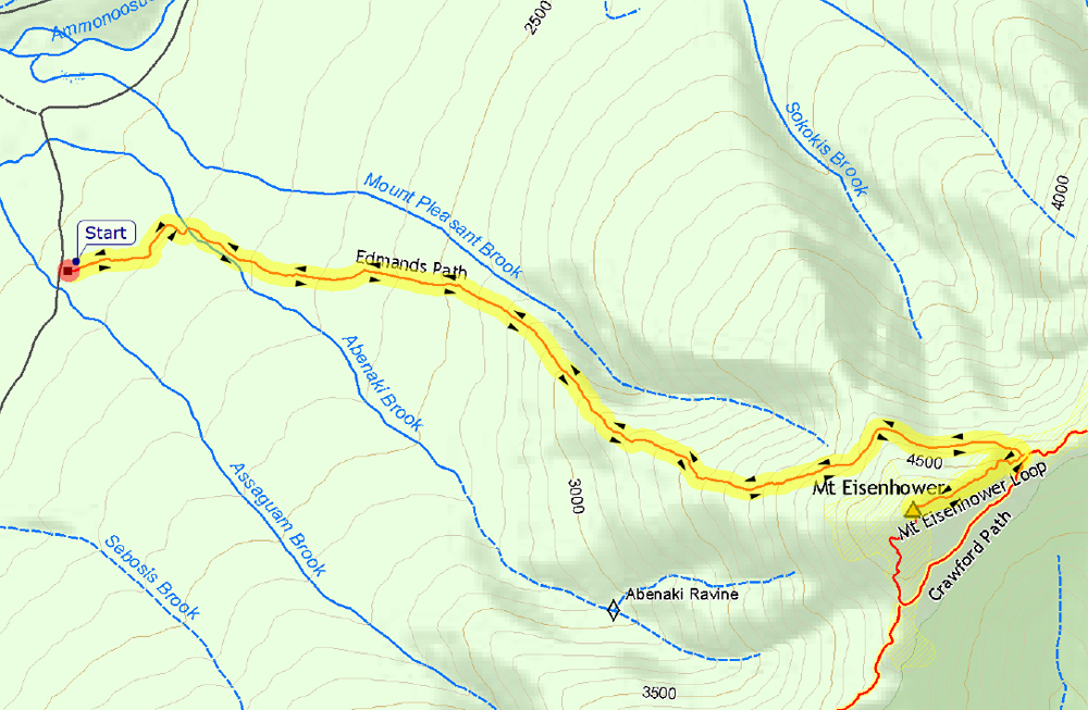
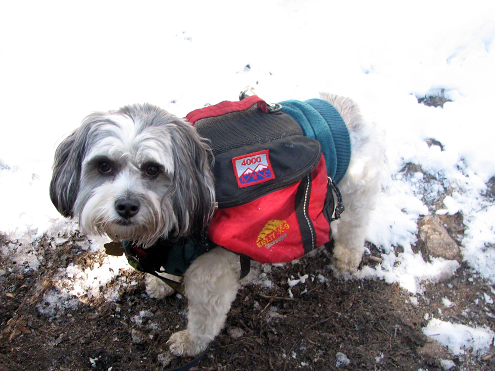
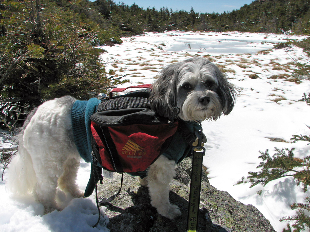
Patches and I hadn't been up to the mountains since last November when we climbed Mt Hale. It had been a weird winter with very little snow but lots of ice on the trails. People were climbing many trails or sections of them in crampons where in a normal winter they''d have been using snowshoes, microspikes, or even just bare booting them. Some areas were covered with ice flows, and described online by hikers as like climbing up frozen waterfalls. There had been several serious injuries from falls, and even one death, and he had been an experienced Adirondack guide. We just watched and waited. Finally, near the end of April, things were improved enough for us to give it a try. I chose Mt Eisenhower because the Edmands Path was relatively easy, Mt Clinton Rd was open to the trailhead, and the round trip book time was only about four and a half hours. This would be Patches' nineteenth 4000 footer.
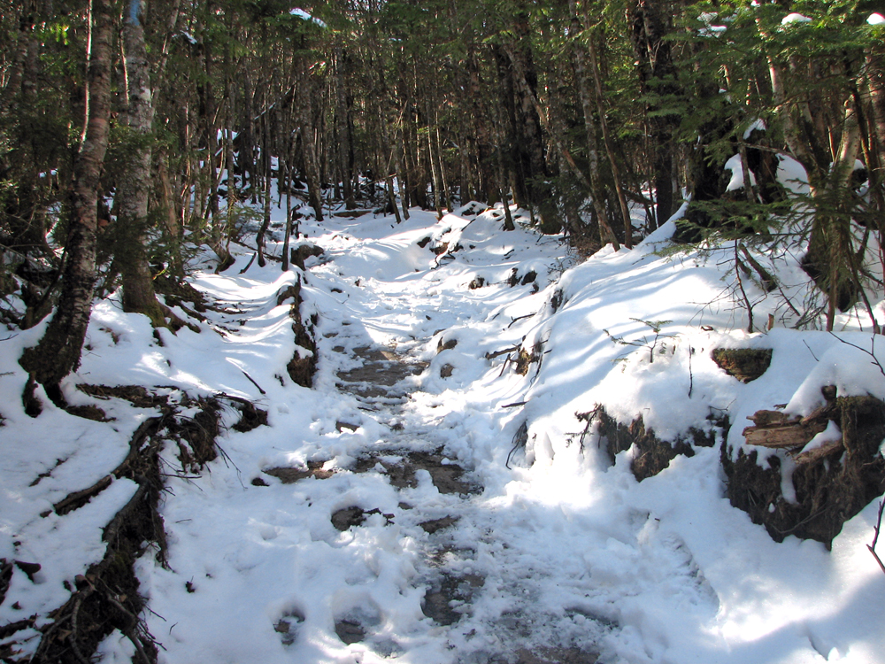
It had snowed lightly a couple of days earlier; most of it had since melted, but there was still a dusting of snow on the trails, even down low. Thankfully, the snow had also bonded with most of the ice patches, making them a bit less slippery. I didn't need to put on my Hillsound Trail Crampons until around 3200 feet, where we stopped for a snack. Patches ate part of her breakfast but was having a hard time because the food was cold, stiff, and hard to dig out of its little self-contained plastic dish. I stirred it up with a small stick to make it easier for her to eat. Naturally, she tried to eat the stick too but I threw it into the woods away from where we were sitting by the trail.
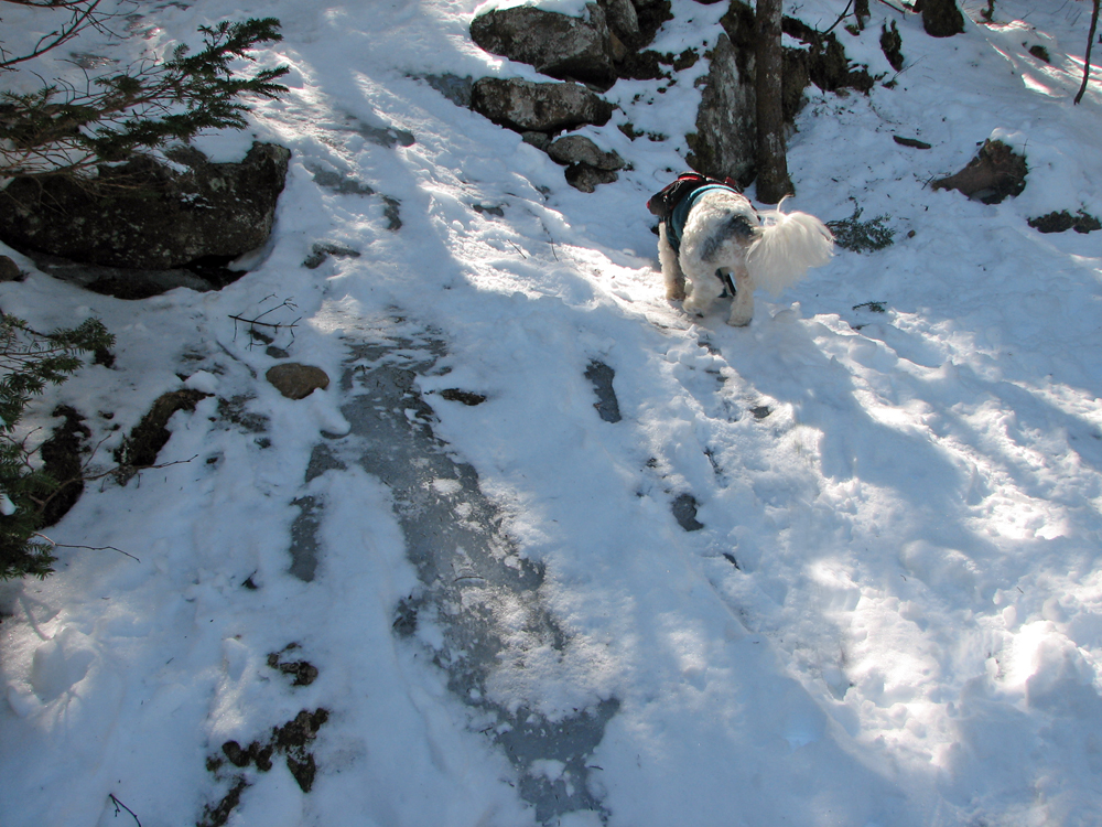
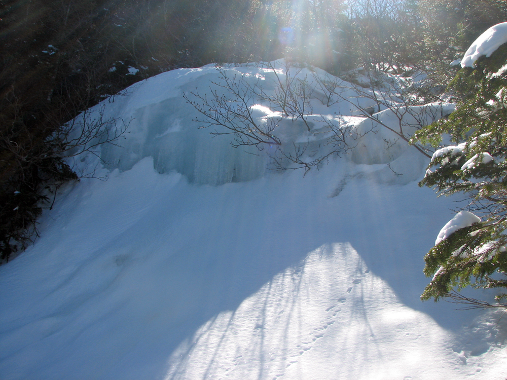
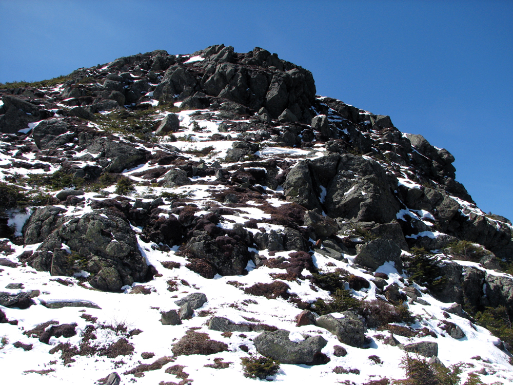
Just before the trail reached the mostly flat section as it skirted the north face of the summit cone, we came to an area where thick blue ice flows covered parts of the trail. I think this is where a brook crosses the trail in warmer seasons. Here, the dusting of snow merely served to hide the presence of ice. Patches had no trouble ascending the steepice, but at one sheer icy pitch, I kept slipping back down, even in my trail crampons. I almost gave up and turned around, but one last try near the side while holding onto some exposed rock for support was successful and we continued on up.
The section around the side of the summit cone was a little iffy because the side of the trail sloped slightly downhill into the abyss, protected only by patches of short scrub, but we finally made it to Red Pond, where the Edmands Path meets the Mt Eisenhower Loop and the Crawford Path. Here, we rested for awhile sitting next to the frozen pond, which has grown very marshy and has mostly filled in.
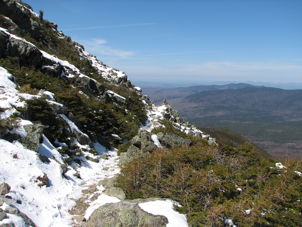
Finally, I felt that I was rested enough to make the final climb to the top. I was glad to see that, here above treeline, the sun had melted much of the snow and ice and there were no really dangerous sections. It was hard, though, in some places, to discern the exact route of the trail and I think people had probably wandered from it and had been walking on the delicate alpine vegetation. All we could do was to follow in their footsteps and try to tread lightly.
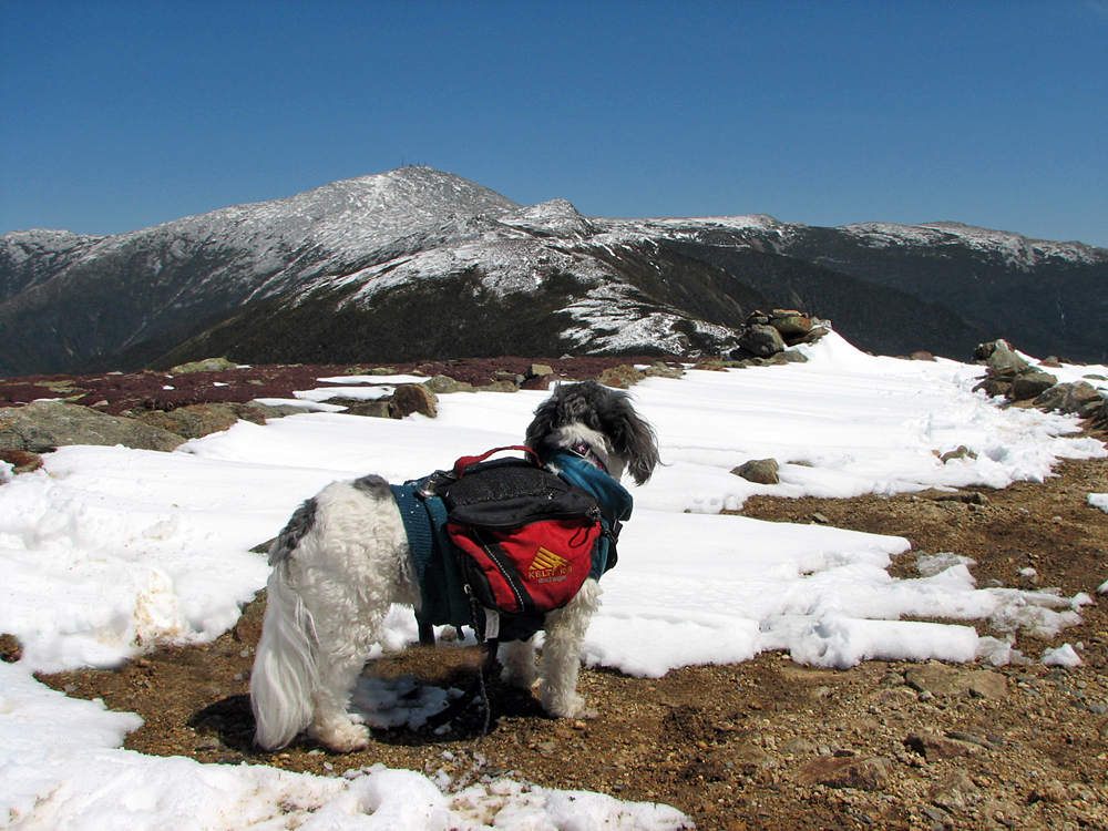
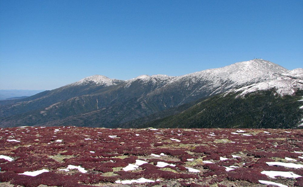
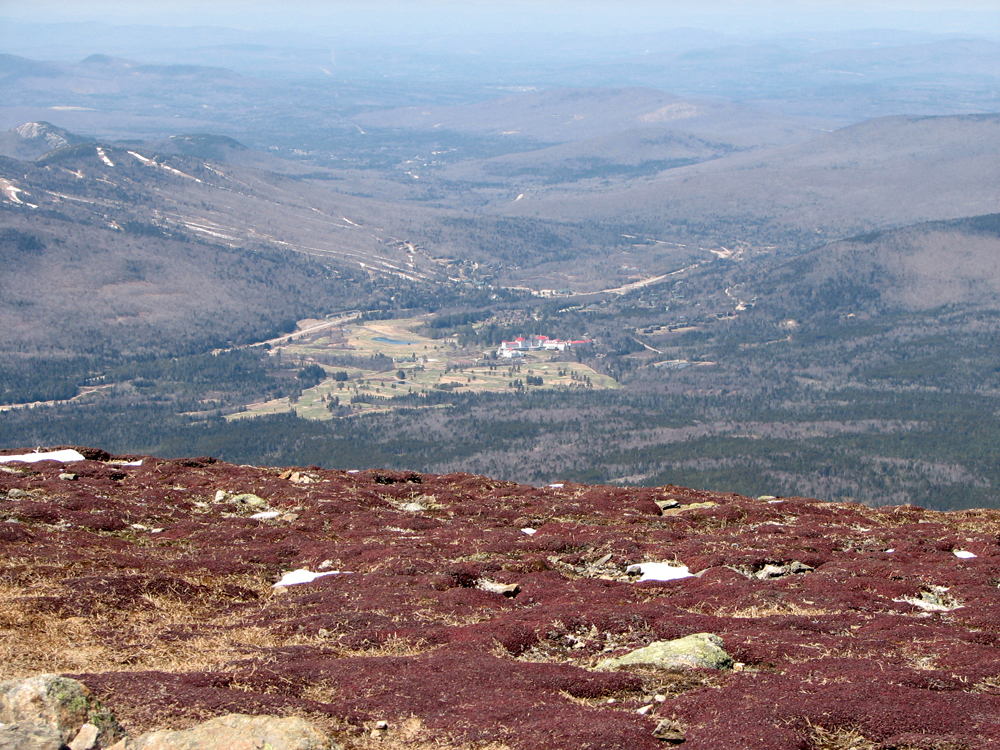
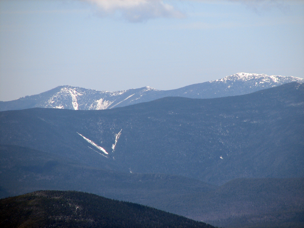
The views were excellent from the summit. I took pictures of nearby Mts Washington and Monroe, as well as Jefferson and Clay to the north. To the west, on the other side of Crawford Notch, were Mts Tom and Field, while the Twins and Bonds ranges and more distant Lafayette and Lincoln on Franconia Ridge were also prominently visible. Directly below, the Mt Washington Hotel was an excellent subject for a closeup. Taking pictures of the landscape was easy; the mountains stood quietly and still against the blue skies. Patches, on the other hand, was a much more difficult subject. It was easy to take her picture while she gazed off into the distance, but nearly impossible to get a good shot of her looking directly at the camera. I also attempted to take a picture of the two of us but my aim was way off and all I managed to do was capture myself, leaning over with my arm reaching down to hold onto an invisbile dog.
The hike down was uneventful and much quicker than the climb up. I did, however, have to be careful descending the ice flows. I sat down to slide down the steepest pitch, grabbing onto some vegetation and using my poles to keep me from sliding out of control into the scrubby trees. Patches just walked calmly down as if there were no ice at all. About halfway, Patches started to lag behind me and then left the trail and wouldn't come when I called. At first I thought she was tired, but I soon figured out that she had found the spot where we had stopped to eat and gone off to retrieve the stick with the little bit of food on it that I had tossed into the woods. She definitely has a good memory for the lay of the trails. |